Topographic map of the John Muir Trail (California) | National Geographic

Price
Regular price $2700
Regular price Sale price $2700
/
  • In stock in France, in the USA and in the UK
    Shipped within 24 to 48h from the warehouse closest to you
  • All-inclusive price: customs duties are already paid by Cartovia
  • Free returns (*)
  • Real-time stock levels
  • Cartovia Guarantee – Delivery issue?
    We resend immediately upon receiving a simple photo.
  • In stock, ready to ship
  • Backordered, shipping soon
Tax included.

Frequently bought together:

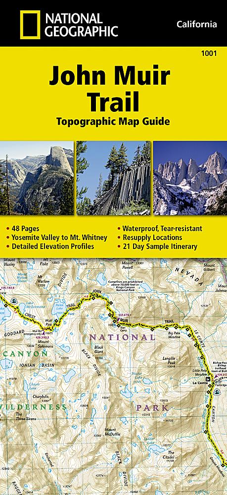
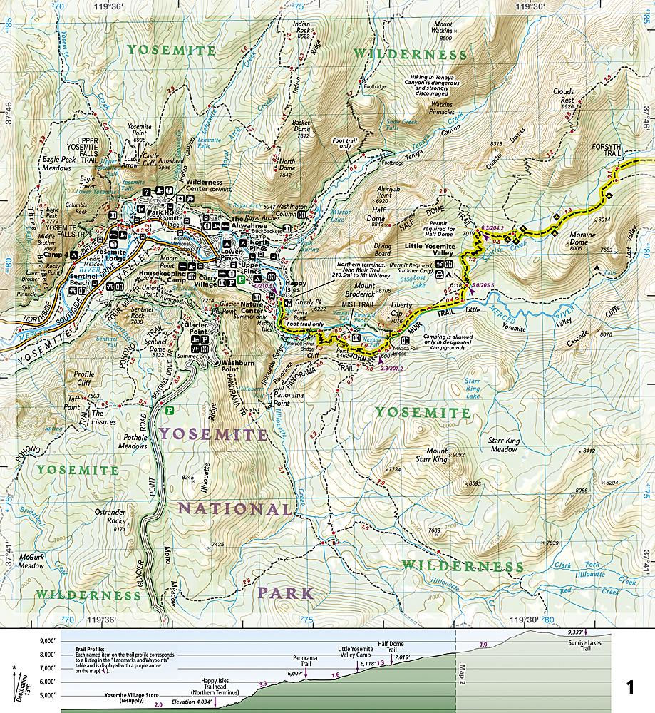
This map is an essential tool for navigating the John Muir Trail, one of the United States' best-known trails. It provides detailed topographic mapping, wilderness safety information and the main points of interest along the route.

A resupply location chart lists shipping addresses and contact details, distances and the services available at each resupply point. Each map page shows the elevation changes along the route.

The maps begin in Yosemite Valley in the north, follow the Sierra Nevada crest past Devils Postpile and end at the summit of Mount Whitney. The trail passes through Yosemite National Park, Ansel Adams Wilderness, Devils Postpile National Monument, John Muir Wilderness, Kings Canyon National Park and finally Sequoia National Park and Mount Whitney.

  • Sample 21-day itinerary included.
  • Detailed, waterproof and tear-resistant map.
  • Scale: 1:63 360 (1 cm = 633 m).
  • 48 pages.


ISBN/EAN : 9781566956895
Publication date: 2024
Scale: 1/63360 (1cm=633m)
Printed sides: both sides
Folded dimensions: 23.5 x 10.9 x 0.5cm
Language(s): English
Weight: 89 g