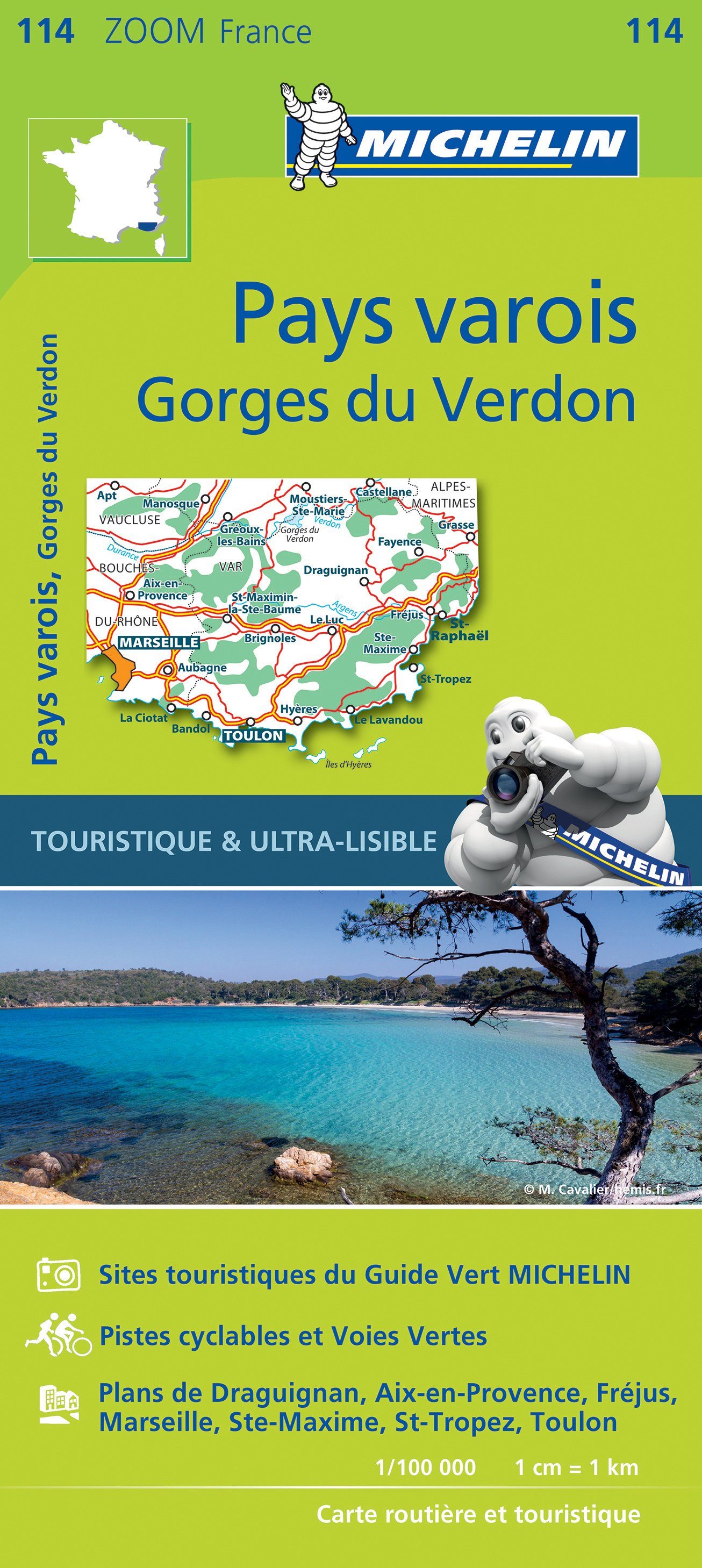
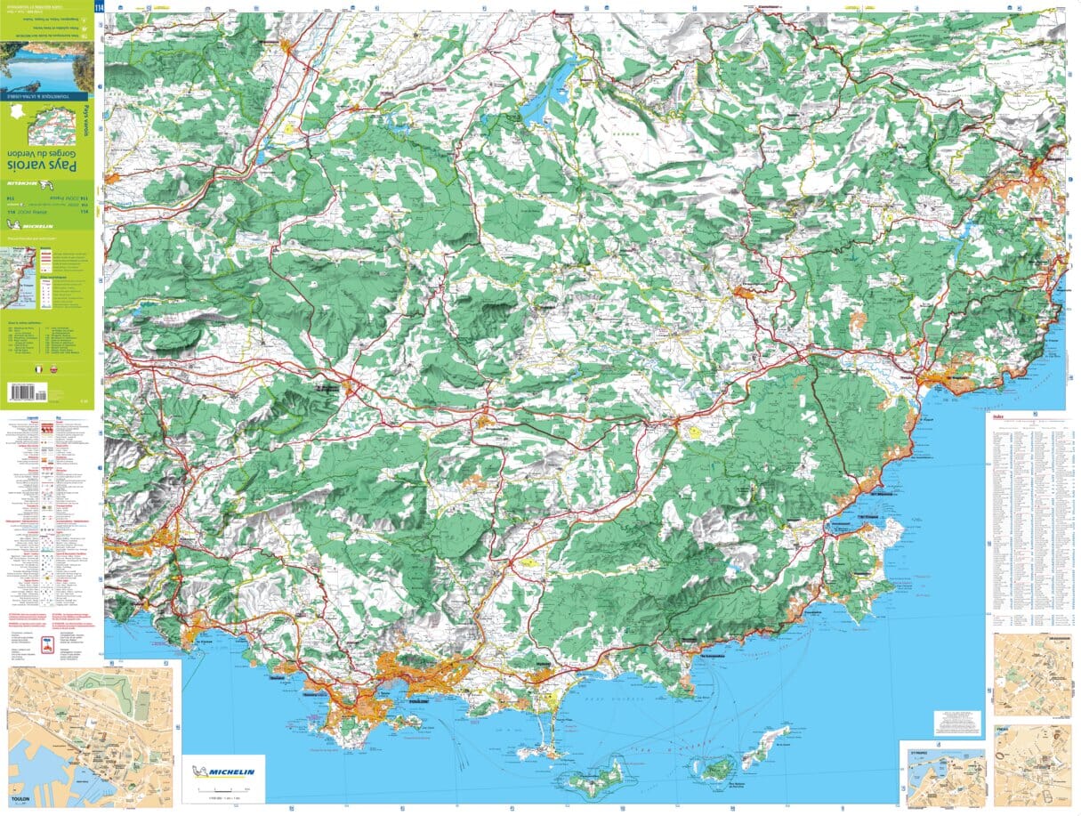
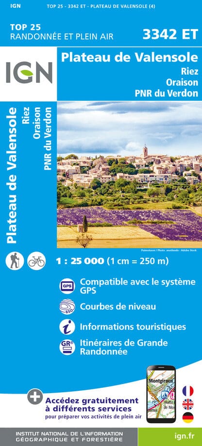
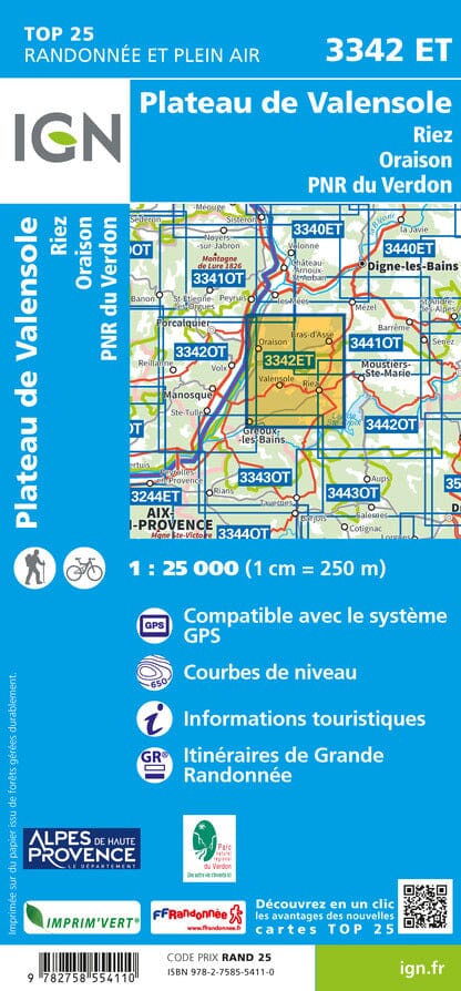
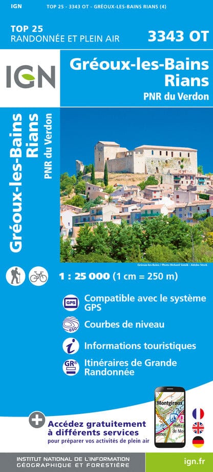
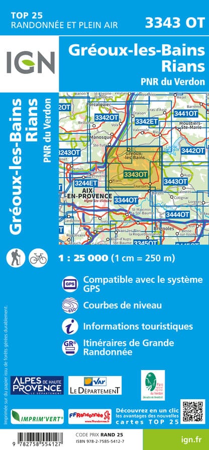
Map TOP 25 No. 3541 OT - Annot, St André les Alpes (Verdon PNR) | IGN
Regular price
$2400
Regular price
Sale price
$2400
/
- Shipped within 24 to 48h from our warehouse in France
- All-inclusive price: customs duties are already paid by Cartovia
- Free returns (*)
- Real-time stock levels
-
Cartovia Guarantee – Delivery issue?
We resend immediately upon receiving a simple photo.
- Low stock - 2 items left