Hiking map no. 3.2 / 4.2 - Pindos South | Anavasi

Price
Regular price $1800
Regular price Sale price $1800
/
  • In stock in France, in the USA and in the UK
    Shipped within 24 to 48h from the warehouse closest to you
  • All-inclusive price: customs duties are already paid by Cartovia
  • Free returns (*)
  • Real-time stock levels
  • Cartovia Guarantee – Delivery issue?
    We resend immediately upon receiving a simple photo.
  • In stock, ready to ship
  • Backordered, shipping soon
Tax included.

Frequently bought together:

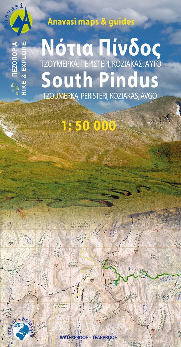
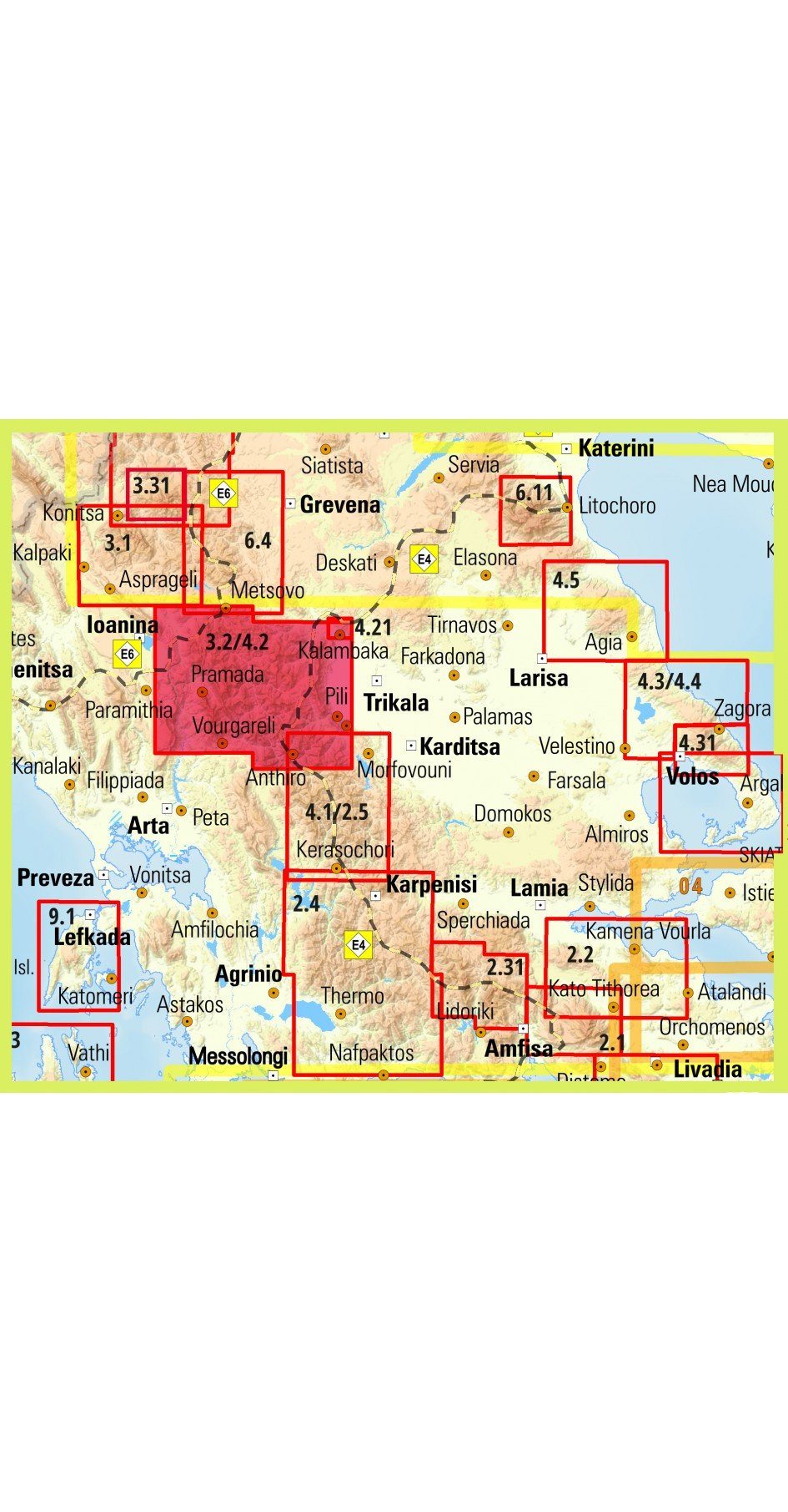
Hiking map of the Southern Pindos [3.2 / 4.2]: Peristeri, Kakarditsa, Tzoumerka, Koziakas, Avgo and Tringia. It covers a vast mountain region extending from Katara Pass and the new Egnatia motorway to the northern edge of the Agrafa range, including dozens of well-known peaks collectively called the Southern Pindos.

Several new trails have been added, along with an entire mountain, Kokkinolakkas, with recently opened and waymarked trails. The road network has also been updated.

The map is printed on fully waterproof, durable Polyart synthetic paper. It comes in a card booklet containing information on ascents of the region's main peaks.

This GPS-compatible hiking map shows shaded relief, springs, seasonal streams and landscape types, such as forests, orchards and vineyards.

  • Place names in the Greek and Latin alphabets.
  • Clearly marked trails, inns and mountain huts.
  • Driving distances and petrol stations for road users.
  • Symbols for places of interest, including archaeological sites, churches and monasteries.

The map legend includes English.


ISBN/EAN : 9789609412186
Publication date: 2022
Scale: 1/50,000 (1cm=500m)
Folded dimensions: 12 x 23cm
Language(s): English, Greek
Weight: 60 g