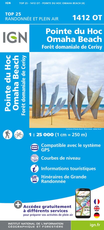
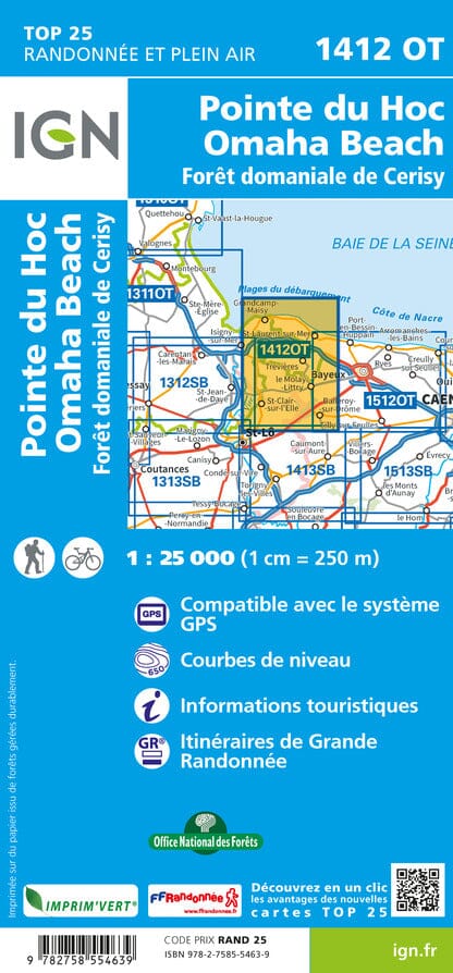
The IGN TOP 25 hiking map No. 1412 OT covers the following area: Pointe du Hoc, Omaha Beach, Cerisy State Forest.
This highly accurate topographic mapping shows every detail on the ground:
- Transport routes and paths.
- Buildings, including individual sheds.
- Woodland, isolated trees, rivers and springs.
Contour lines show the terrain.
- Waymarked trails and tourist information are also shown.
Municipalities covered: Cerisy-la-Forêt, Le-Molay-Littry, Isigny-sur-Mer, Moon-sur-Elle, Lison, Saint-Fromond, Saint-Clair-sur-l'Elle, Saint-Jean-de-Savigny, Colleville-sur-Mer, Saint-Laurent-sur-Mer, Vierville-sur-Mer, Saint-Pierre-du-Mont, Sainte-Marguerite-d'Elle, Bricqueville, Castillon, Trévières, Grandcamp-Maisy, Monfréville, Englesqueville-la-Percée, Balleroy-sur-Drôme, Formigny-la-Bataille, Saonnet, Deux-Jumeaux, La Cambe, La Bazoque, Cartigny-l'Épinay, Le Tronquay, Planquery.
Places to discover: Marais du Cotentin et du Bessin, Pointe du Hoc, Omaha Beach, St-Vigor Abbey, Forêt de Cerisy Nature Reserve, German Cemetery, Vaumicel Castle, l'Hermerel, Cimetière américain, Beaumont-le-Richard Castle.