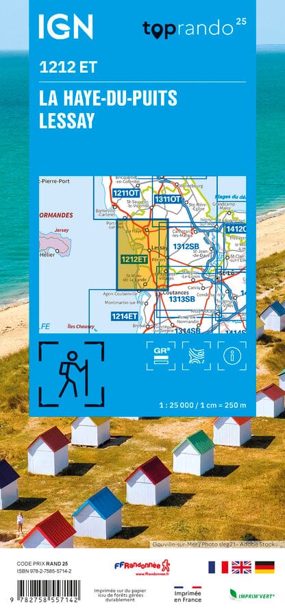
The IGN TOP 25 hiking map No. 1212 ET covers the following area: La Haye-du-Puits, Lessay (Manche).
- Contour lines at 10-metre intervals.
- Detailed legend: vegetation, rocks, transport routes down to the smallest paths, buildings down to individual sheds, woodland, isolated trees, rivers, springs and more.
- Waymarked trails and tourist information are shown.
- Scale: 1:25,000 (1 cm = 250 m).
Municipalities covered: Saint-Germain-sur-Ay, Gouville-sur-Mer, Pirou, Coutances, Blainville-sur-Mer, Saint-Sauveur-Villages, Vesly, Créances, Varenguebec, Geffosses, La Feuillie, Muneville-le-Bingard, Saint-Nicolas-de-Pierrepont, Saint-Patrice-de-Claids, Bretteville-sur-Ay, Millières, Lessay, Périers, Laulne, Montsenelle, Le Plessis-Lastelle, La Haye-du-Puits.
Places to discover: Marais du Cotentin et du Bessin, Lande de Lessay, Mont Castre, Tourbière de Mathon Nature Reserve, Omonville Castle, Pirou Castle, Ste-Suzanne, Ermitage St-Gerbold.