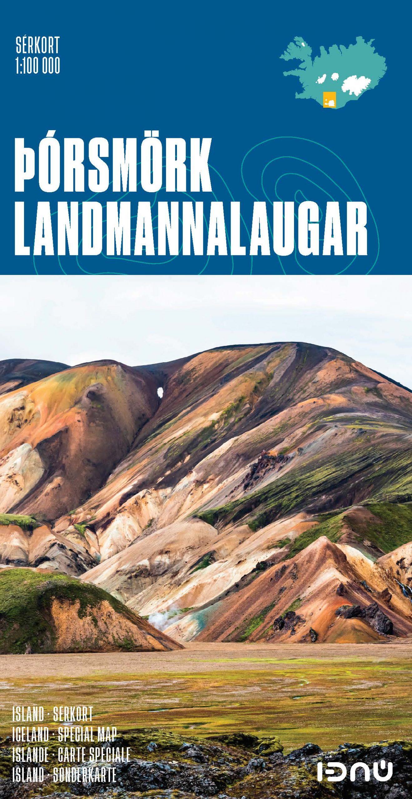
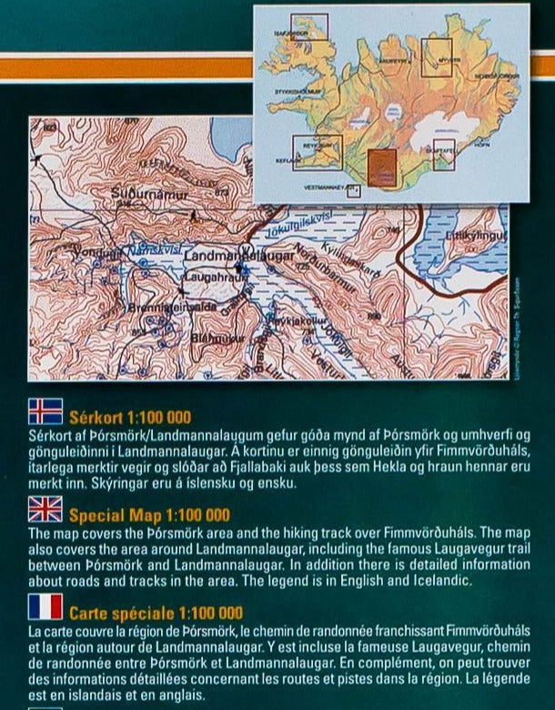
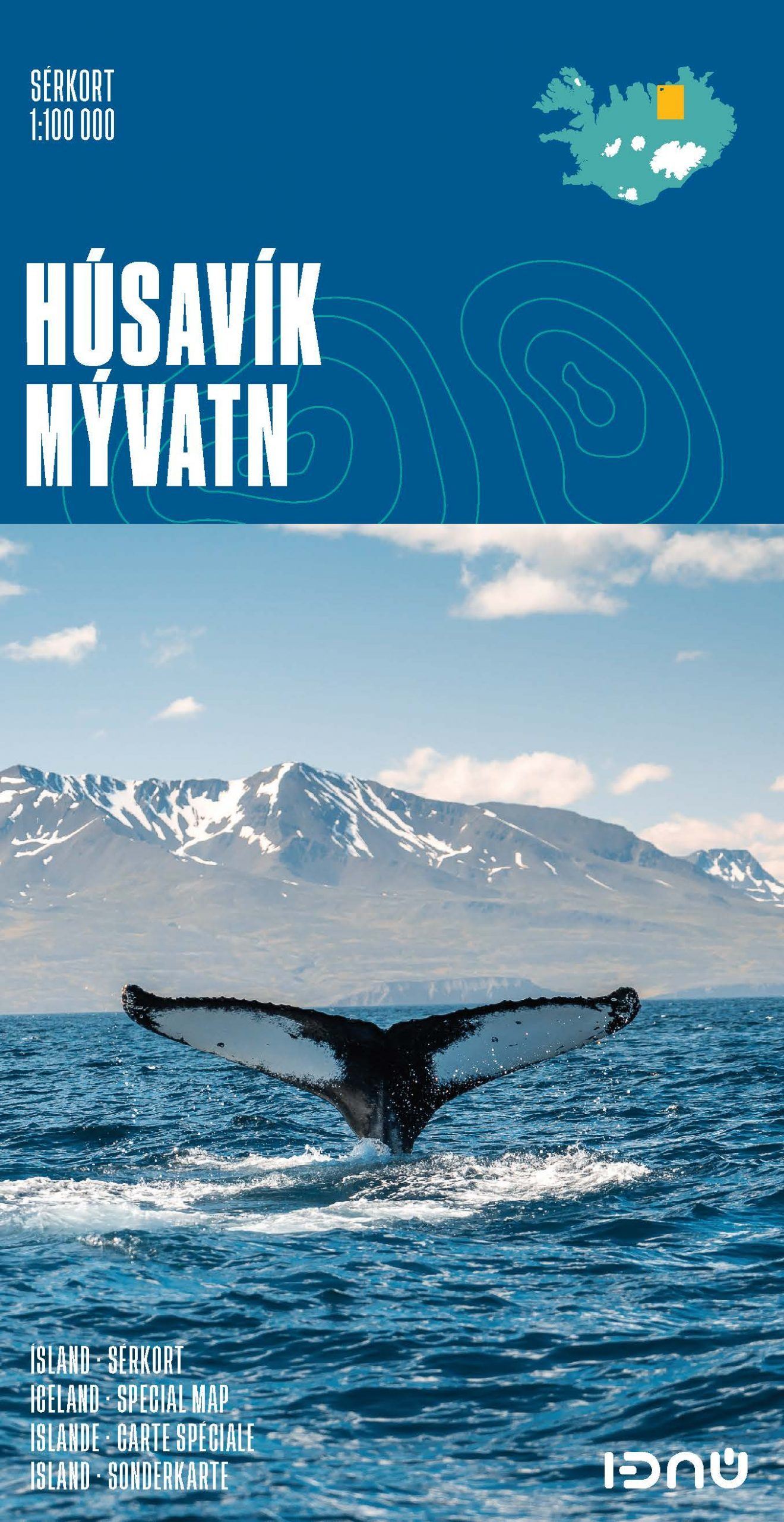
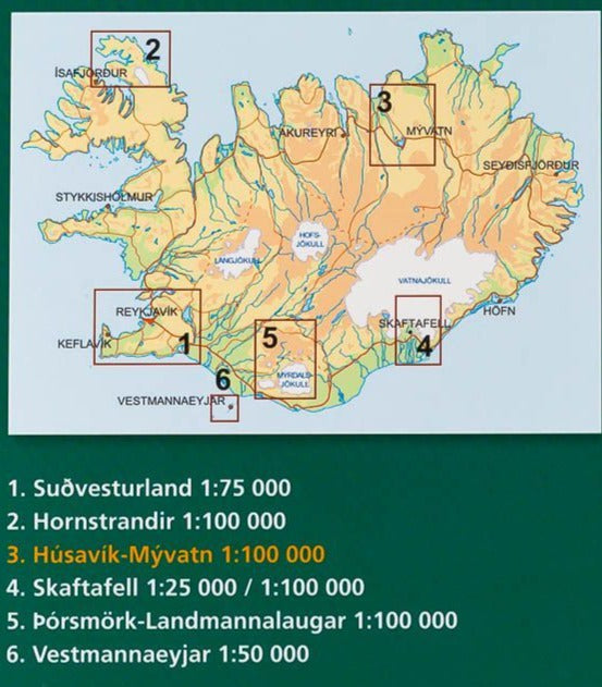
Hiking map - Vestmann Islands (Iceland) | Ferdakort

Price
Regular price $3800
Regular price Sale price $3800
/
  • Ships within 24 business hours from our warehouse in France
  • Free returns (*)
  • Real-time stock levels
  • Cartovia Guarantee – Delivery issue?
    We resend immediately upon receiving a simple photo.
  • In stock, ready to ship
  • Backordered, shipping soon
Tax included.

Frequently bought together:

Topographic map of the Vestmann Islands southwest of Iceland published by Ferdakort (Serkort series) which covers with relief and level curves. Detailed plan of Götukort included. Aerial photo on the back.

This detailed map of Iceland is protected by a laminated case.


ISBN/EAN : 9789979672135
Publication date: 1995
Scale: 1/50,000 (1cm=500m)
Printed sides: front
Folded dimensions: 23.2 x 12.8cm
Unfolded dimensions: 81.5 x 54cm
Language(s): French, English, German, Icelandic
Weight: 65 g