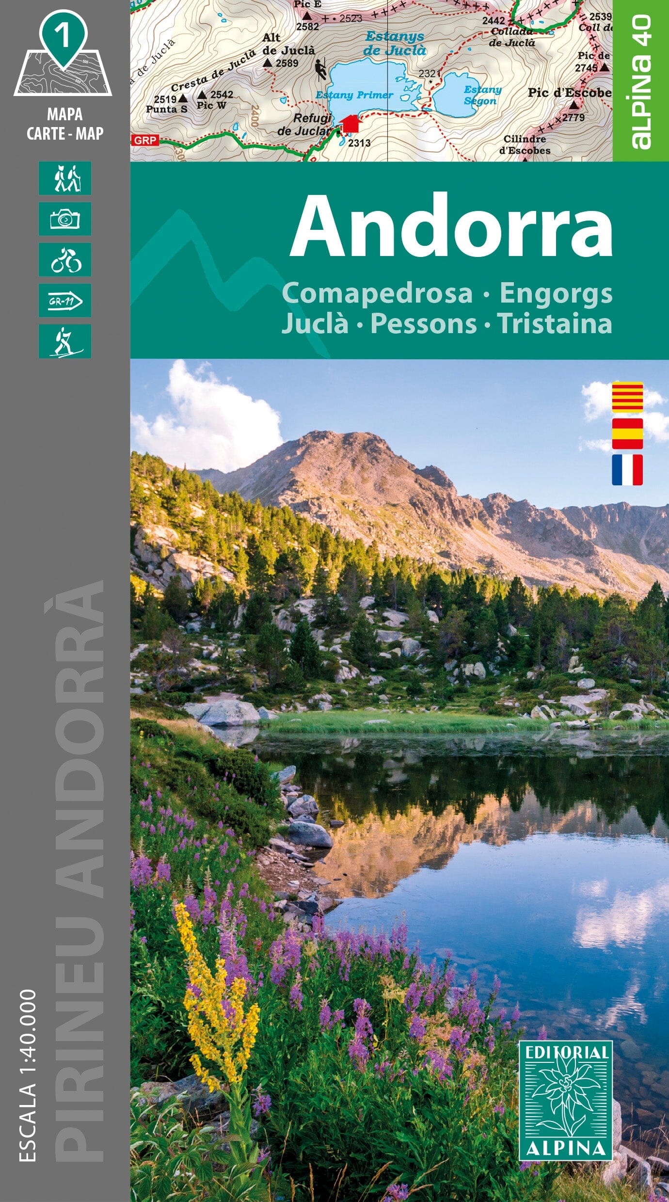
Hiking map - Andorra | Alpina

Price
Regular price $2500
Regular price Sale price $2500
/
  • Ships within 5 to 8 working days
    (Currently in transit to our warehouse in France)
  • Cartovia Guarantee – Delivery issue?
    We resend immediately upon receiving a simple photo.
Tax included.

Often purchased together:

Topographic map of part of Andorra (Comapedrosa, Engorgs, Juclar, Pessons, Tristaina).

Map sector: Principality of Andorra and its mountainous environment bordering Cerdanya, Alt Urgell, Pallars Sobirà and Ariège.

Map features: Topographic map at scale 1:40,000 with information of interest for hikers: shelters, marked trails (GR, local trails), mountain trails, etc.

The foldable flap includes: • Guarded shelters • Hikes • Unmissable sites


ISBN / EAN : 9788470111235
Date de publication : 2024
Echelle : 1/40,000 (1cm=400m)
Impression: front
Dimensions plié(e) : 21 x 11.5 x 1cm
Dimensions déplié(e) : 98 x 68cm
Langue : French, Catalan, Castilian
Poids : 163 g