Discover the southern Vercors massif in three dimensions with this detailed relief map by Dénivelés Éditions. Limestone cliffs, high plateaus, forests, valleys and peaks take on their full dimension thanks to relief reaching 4.5 cm high.
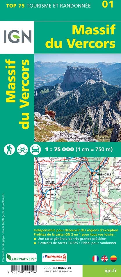
The map covers the southern part of the Vercors, from the area around Léoncel and the Drôme Valley to the sector of Lac de Monteynard, Col du Fau and Col de la Croix-Haute. It also makes it possible to locate several emblematic sites of the massif: Grand Veymont (2,341 m), the highest point of the Vercors, Mont Aiguille, the Hauts-Plateaux du Vercors nature reserve, Cirque d'Archiane and Col de Menée.
Particularly rich in topographic information, it shows more than 4,400 km of trails and paths, more than 200 peaks and nearly 188 passes, as well as lakes, rivers, caves, villages, hamlets and isolated dwellings. Contour lines and elevations help you better understand the terrain and imagine or prepare future hikes and outdoor outings.
This map is also an attractive decorative piece for anyone who loves the Vercors and the mountains. It can be paired with the Vercors Nord map from the same publisher to cover the entire massif with the same level of detail and the same relief scale.
Specifications:
- Dimensions: 70 x 50 cm
- Planimetric scale: 1:70,000
- Altimetric scale: 1.4:70,000
- Maximum relief height: 4.5 cm
- Material: thermoformed PVC
- Orientation: Landscape
- Map data: IGN and OpenStreetMap
- Made in: France, in Auvergne
- Map sold unframed
- Compatible with a standard 70 x 50 cm frame, with a rebate under 5 mm.