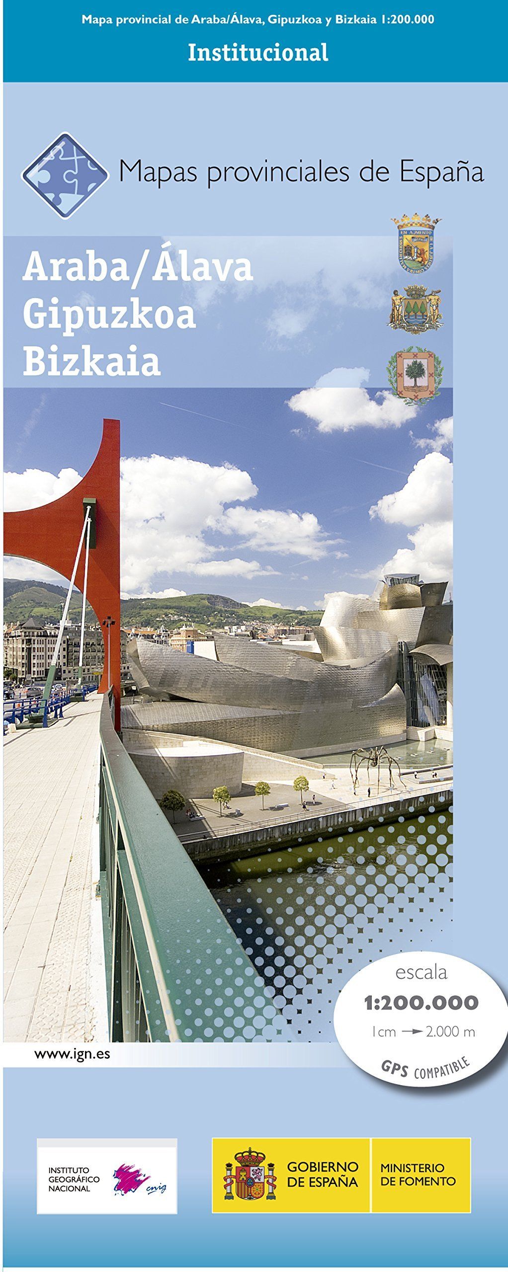
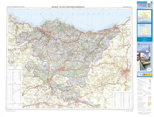
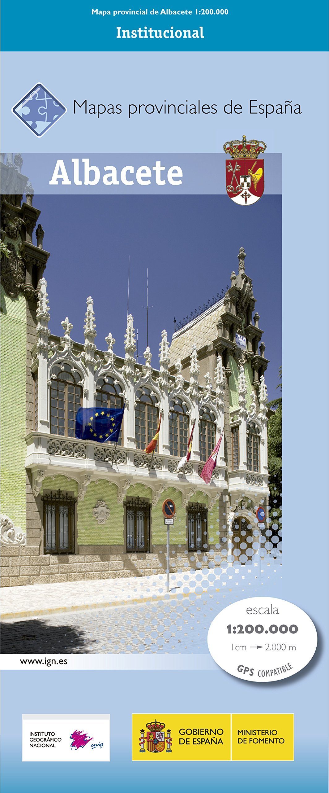
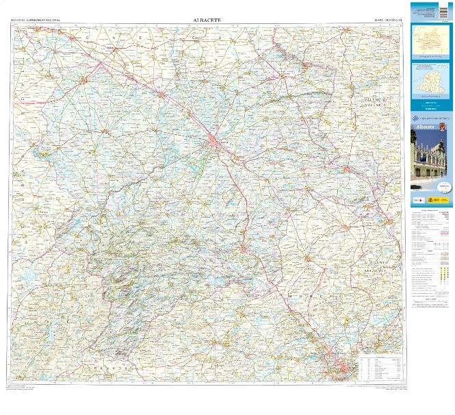
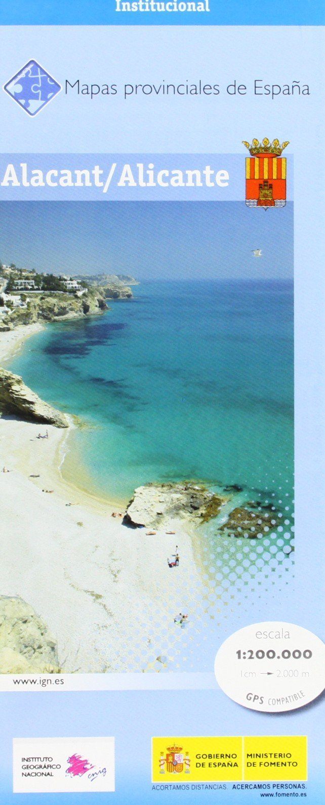
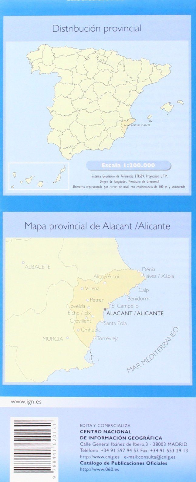
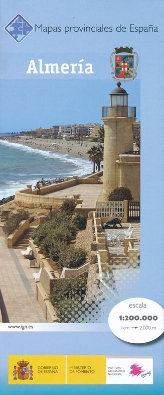
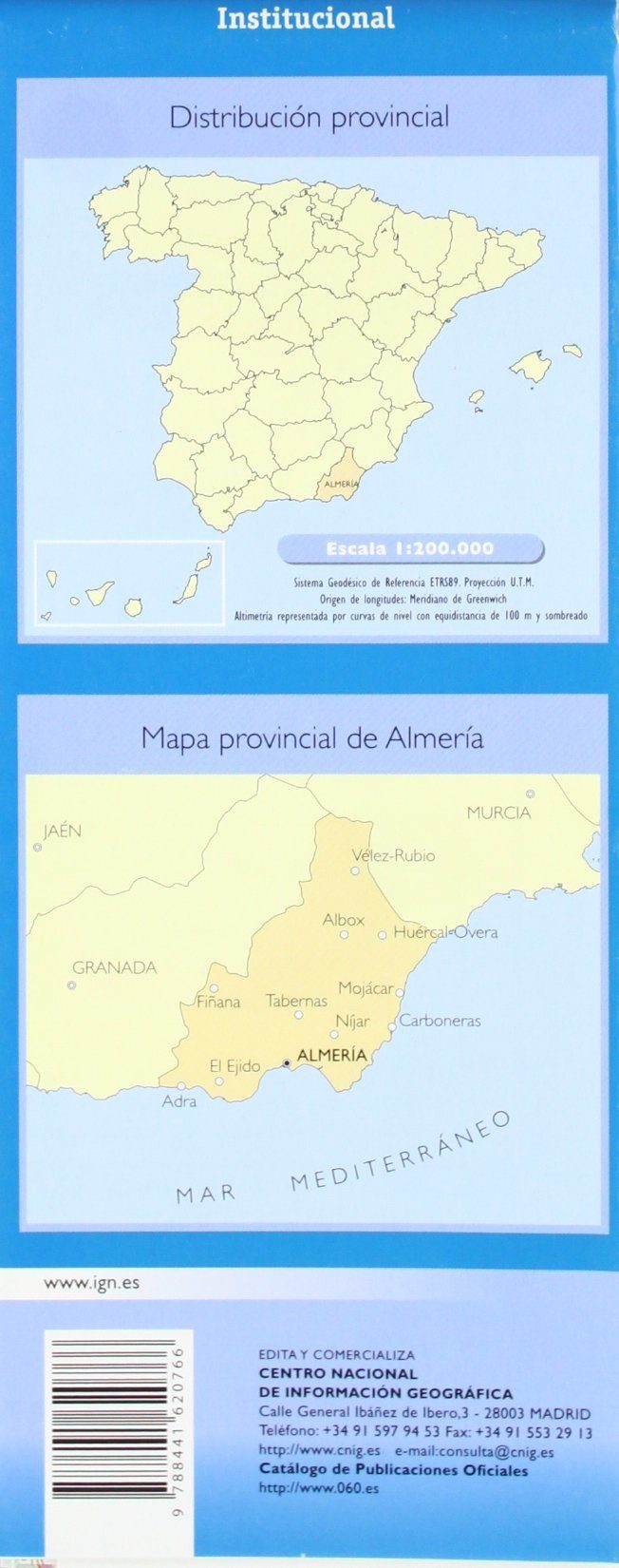
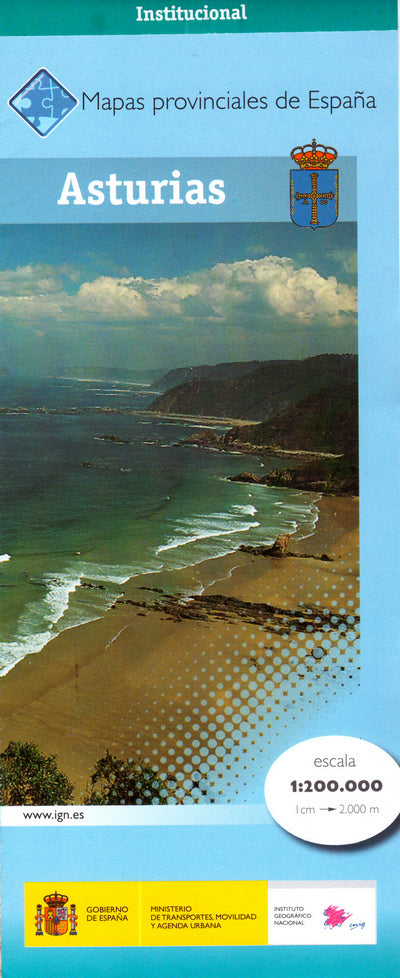
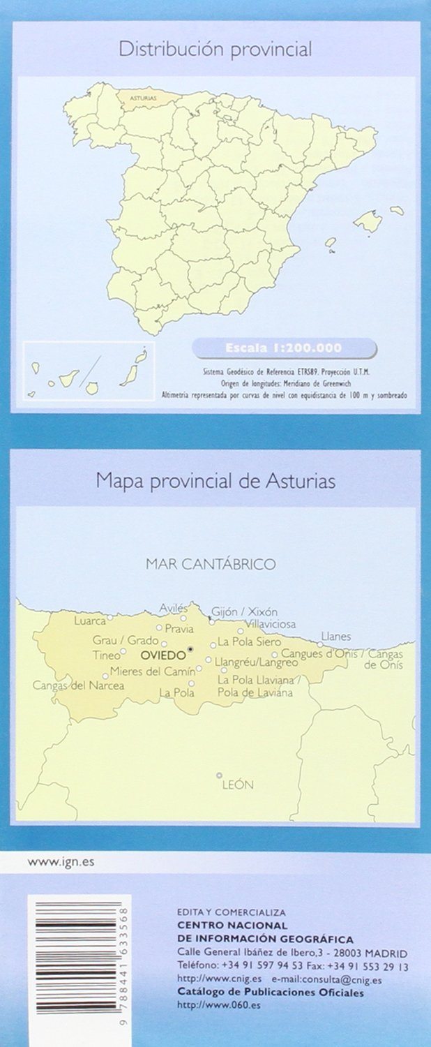
Detailed Provincial road map of Spain published by the Spanish publisher CNIG.
Indication of national parks, vegetation and place names.
Tourist information (campsites, paraders, points of interest).
level curves spaced from 100 m. Cyclists is particularly suitable for the accuracy of the present information.
Scale 10,000 (1 cm = 2 km).
This series of regional maps includes 48 maps.
ISBN/EAN : 9788441656598
Publication date: 2020
Scale: 1/200,000 (1cm=2km)
Printed sides: front
Folded dimensions: 10x25cm
Unfolded dimensions: 100 x 75cm
Language(s): Spanish
Weight:
89 g


