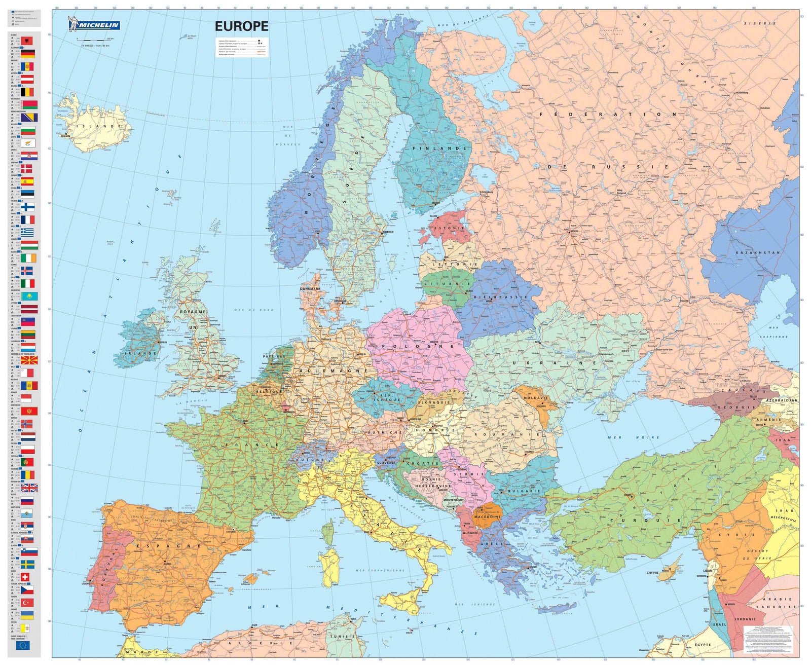
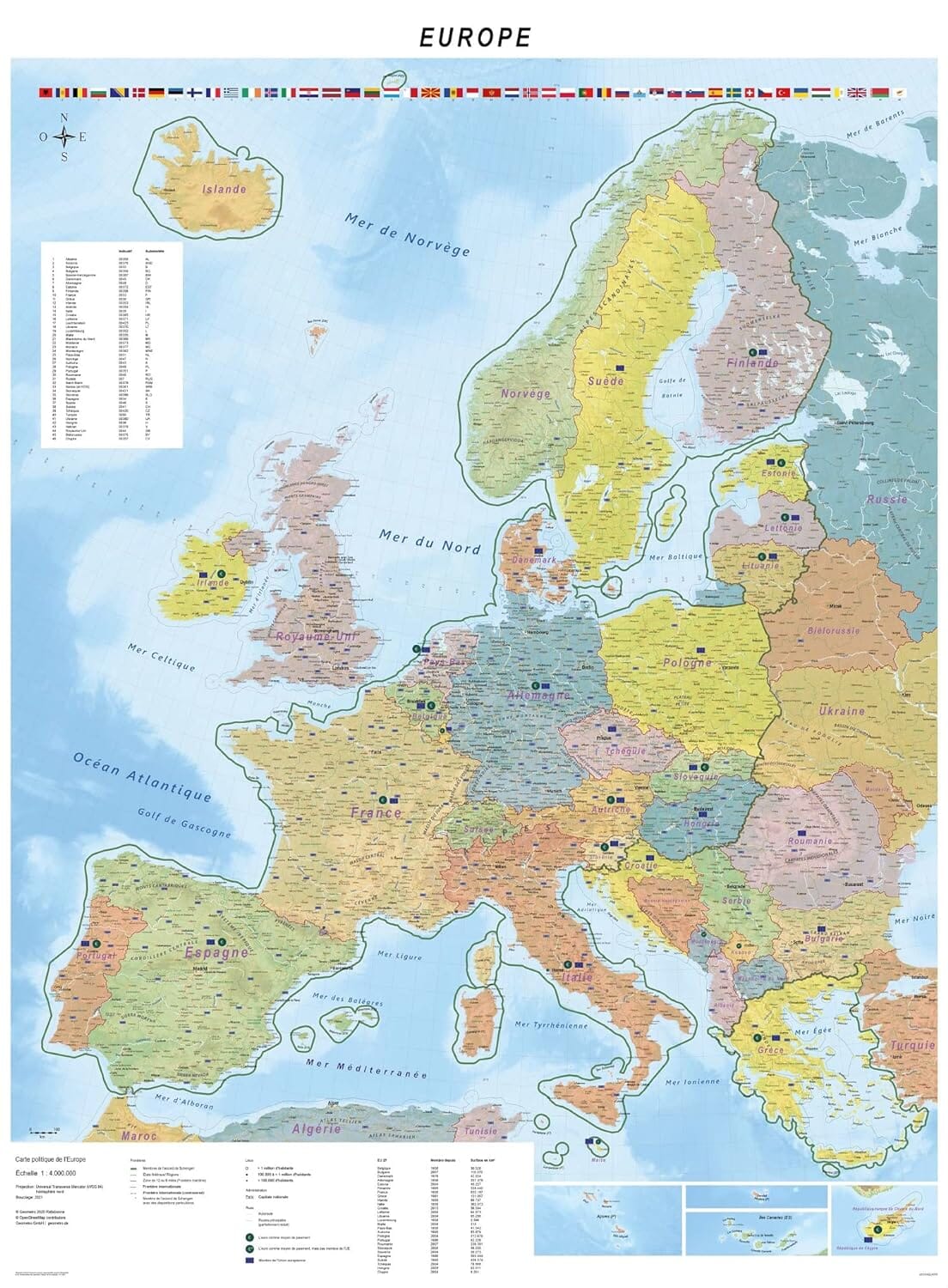
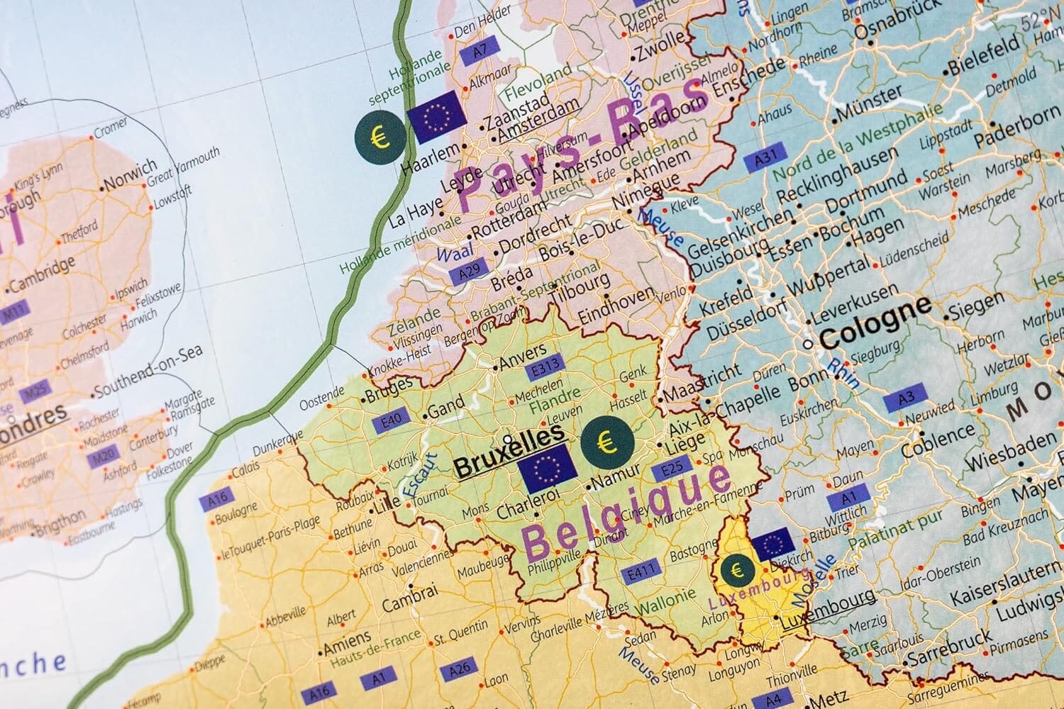
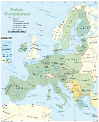
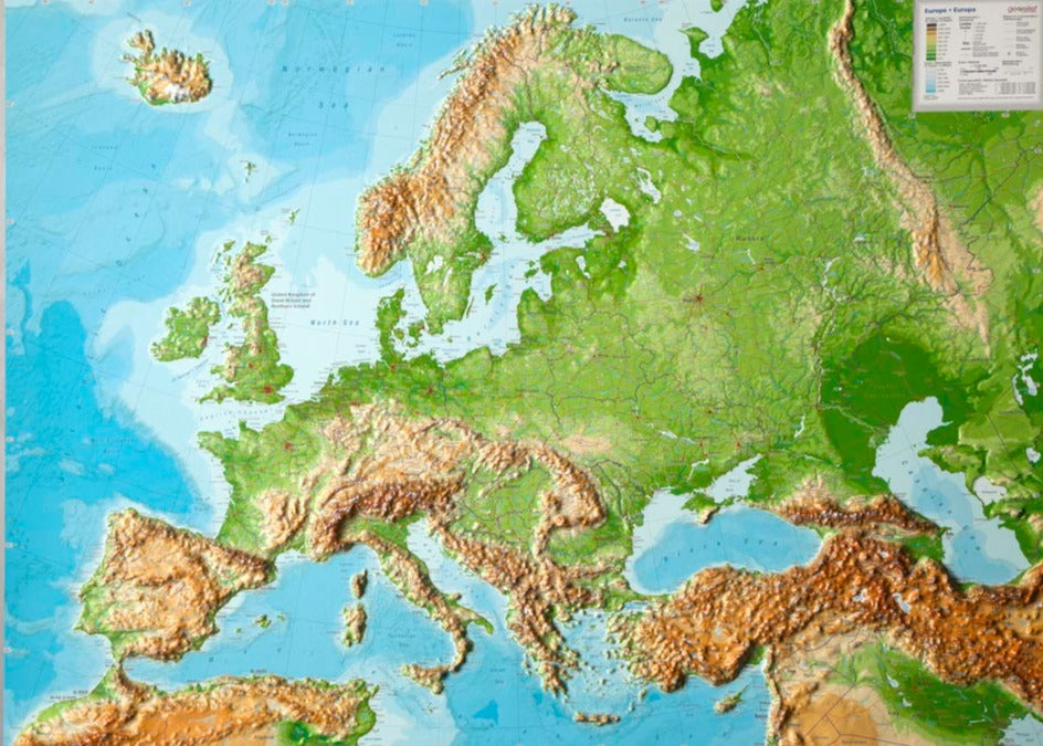
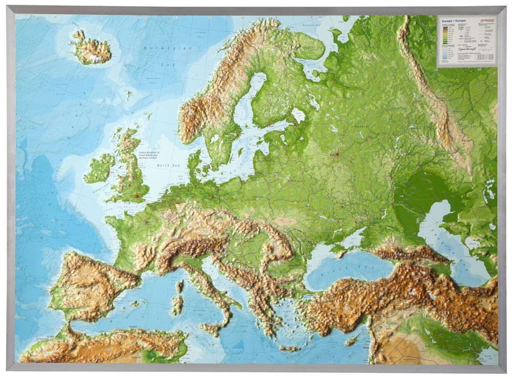
National Geographic’s Executive Political Map of Europe is a stunning example of premium cartography. Featuring an antique-style color palette and subtle shaded relief, this map is both elegant and informative.
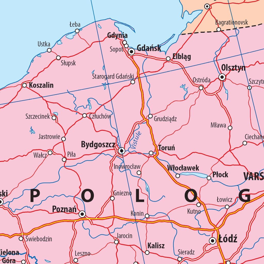
Clearly marked international boundaries, legible fonts, and rich geographic detail make it ideal for reference or decoration. It includes thousands of place names, major highways, airports, water bodies, national parks, and more.
The map provides full coverage of 47 countries including:
France, Germany, Italy, Spain, United Kingdom, Switzerland, Austria, Poland, the Nordic countries, the Baltics, Russia, Ukraine, Turkey, and the Balkan nations.
Highlights:
-
Beautiful Executive style with shaded relief
-
Comprehensive and updated political detail
-
Thousands of names and geographic features
-
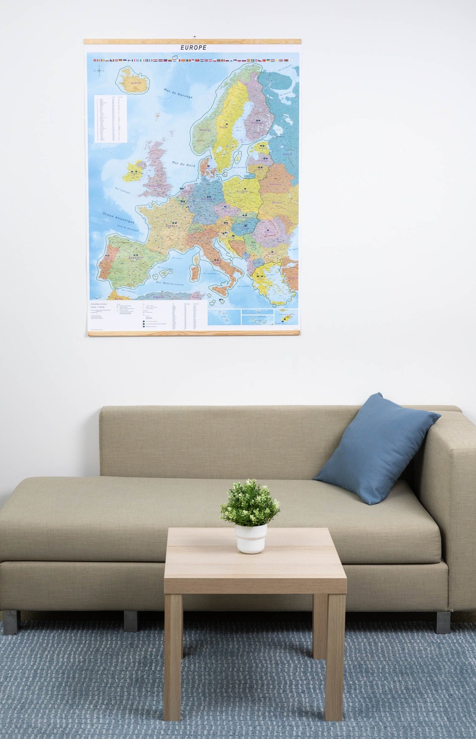
Ideal for office, classroom, or home decor
A perfect blend of aesthetic refinement and geographic precision.


