Carte murale des épaves des Outer Banks, laminée | National Geographic carte murale roulée (en tube) National Geographic

Outer Banks Shipwreck Wall Map, Laminated | National Geographic

Price
Regular price $5500
Regular price Sale price $5500
/
  • In stock in the USA and in the UK
    Shipped within 24 to 48h from the warehouse closest to you
  • Customs duties may apply on import to your country
  • Free returns (*)
  • Real-time stock levels
  • Cartovia Guarantee – Delivery issue?
    We resend immediately upon receiving a simple photo.
  • In stock, ready to ship
  • Backordered, shipping soon
Tax included.

Frequently bought together:

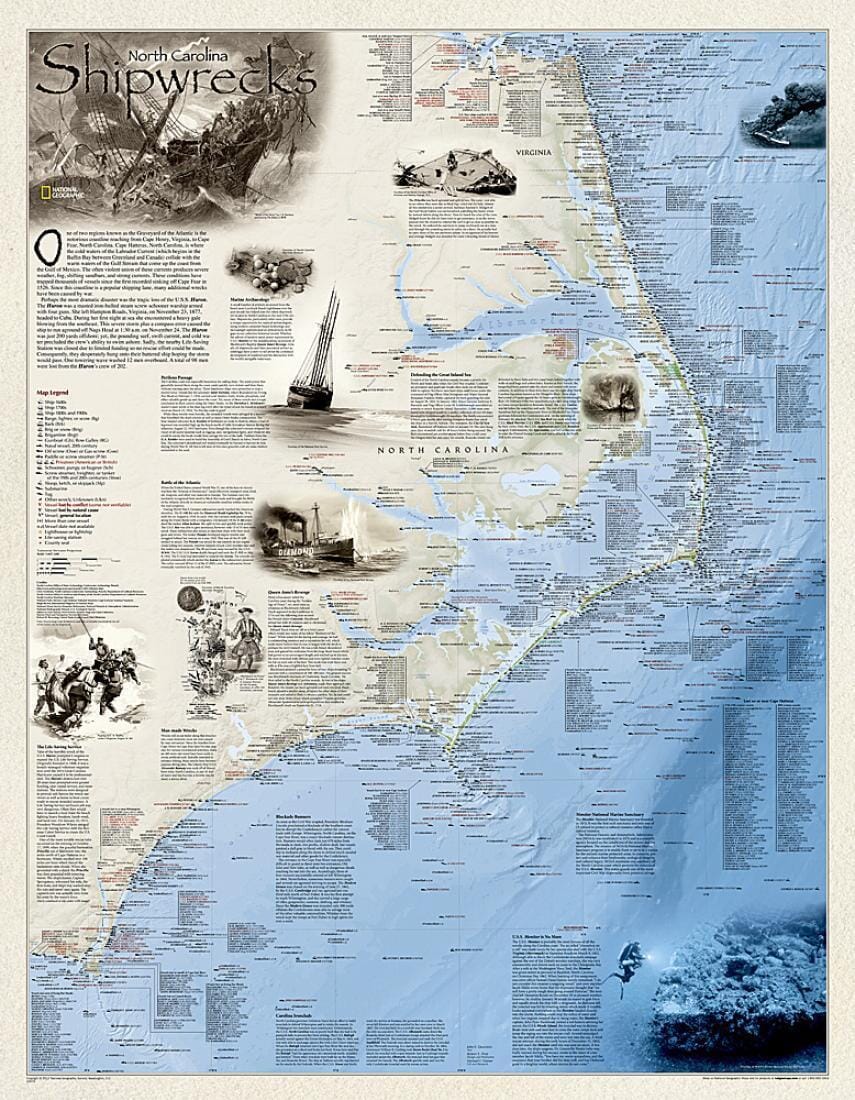
The Outer Bank Shipwrecks chart depicts over 1,550 shipwrecks along the Atlantic coast, from Cape Henry, Virginia, to Cape Fear, North Carolina. Each wreck site is symbolized to define the class, type, and name of the vessel, along with the date of sinking. Icons also indicate whether a vessel was lost as a result of conflict or natural causes.

The locations of life-saving stations and lighthouses, as well as navigational beacons, are also shown. Bathymetric and coastal features are clearly labeled. Legends and drawings highlight unique historical events.

The map is encapsulated in a database.

The map is encapsulated in a heavy-duty 1.6 mil laminate, which makes the paper much more durable and resistant to swelling and shrinking caused by changes in humidity. Laminated cards can be framed without glass.

Laminated cards can be framed without glass.


ISBN/EAN : 9781597755016
Publication date: 2012
Unfolded dimensions: 26.38 inches x 34.45 inches (67 x 87.5 cm)
Language(s): English
Weight: 160 g