Wall map (English) - Shipwrecks of the American Northeast - 91 x 71 cm | National Geographic

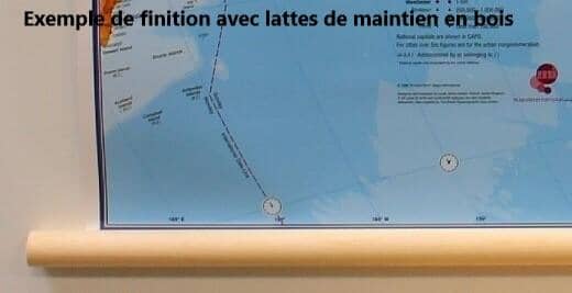
Finishing
Price
Regular price $4600
Regular price Sale price $4600
/
  • In stock in France and in the UK
    Shipped within 24 to 48h from the warehouse closest to you
  • All-inclusive price: customs duties are already paid by Cartovia
  • Real-time inventory
  • Cartovia Guarantee – Delivery issue?
    We resend immediately upon receiving a simple photo.
  • In stock, ready to ship
  • Backordered, shipping soon
Tax included.

Often purchased together:

This wall map of shipwrecks in the northeastern United States, published by National Geographic, is in English and measures 91 x 71 cm.

Created by marine archaeologist Don Shomette and cartographer Robert Pratt, it locates more than 5,400 known wrecks along the Atlantic coast of New England, including Maine, Massachusetts, New Hampshire and Rhode Island.

From Narragansett Bay to the St. Croix River, each site is shown over bathymetric and coastal landscapes. Symbols identify the vessel's class, type and name, the date of sinking, and whether the loss was caused by conflict or natural causes.

The map is supplied rolled in a protective plastic tube and is available in paper or laminated versions.


Publication date: 2011
Printed sides: front
Unfolded dimensions: 91 x 71cm
Language(s): English