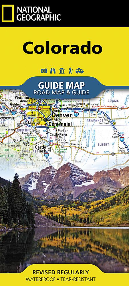
Carte murale du Colorado, en tube | National Geographic carte murale roulée (en tube) National Geographic

Colorado Wall Map, Tube | National Geographic

Price
Regular price $3900
Regular price Sale price $3900
/
  • In stock in the USA and in the UK
    Shipped within 24 to 48h from the warehouse closest to you
  • Customs duties may apply on import to your country
  • Free returns (*)
  • Real-time stock levels
  • Cartovia Guarantee – Delivery issue?
    We resend immediately upon receiving a simple photo.
  • In stock, ready to ship
  • Backordered, shipping soon
Tax included.

Frequently bought together:

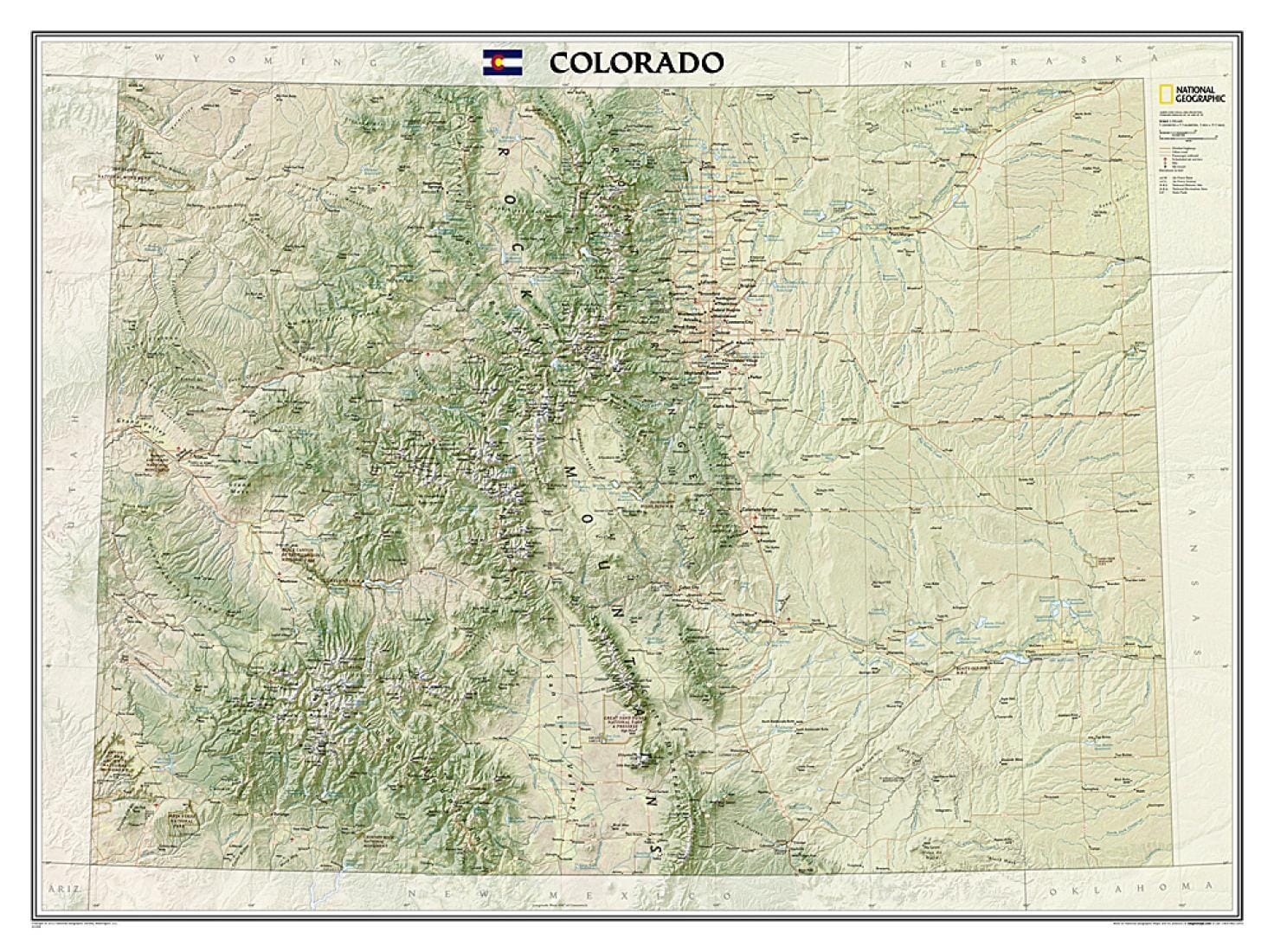
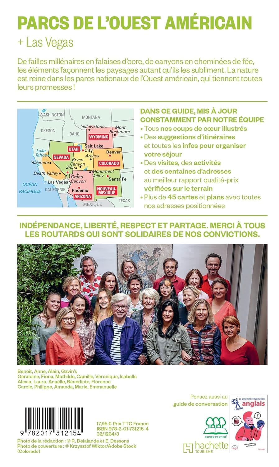
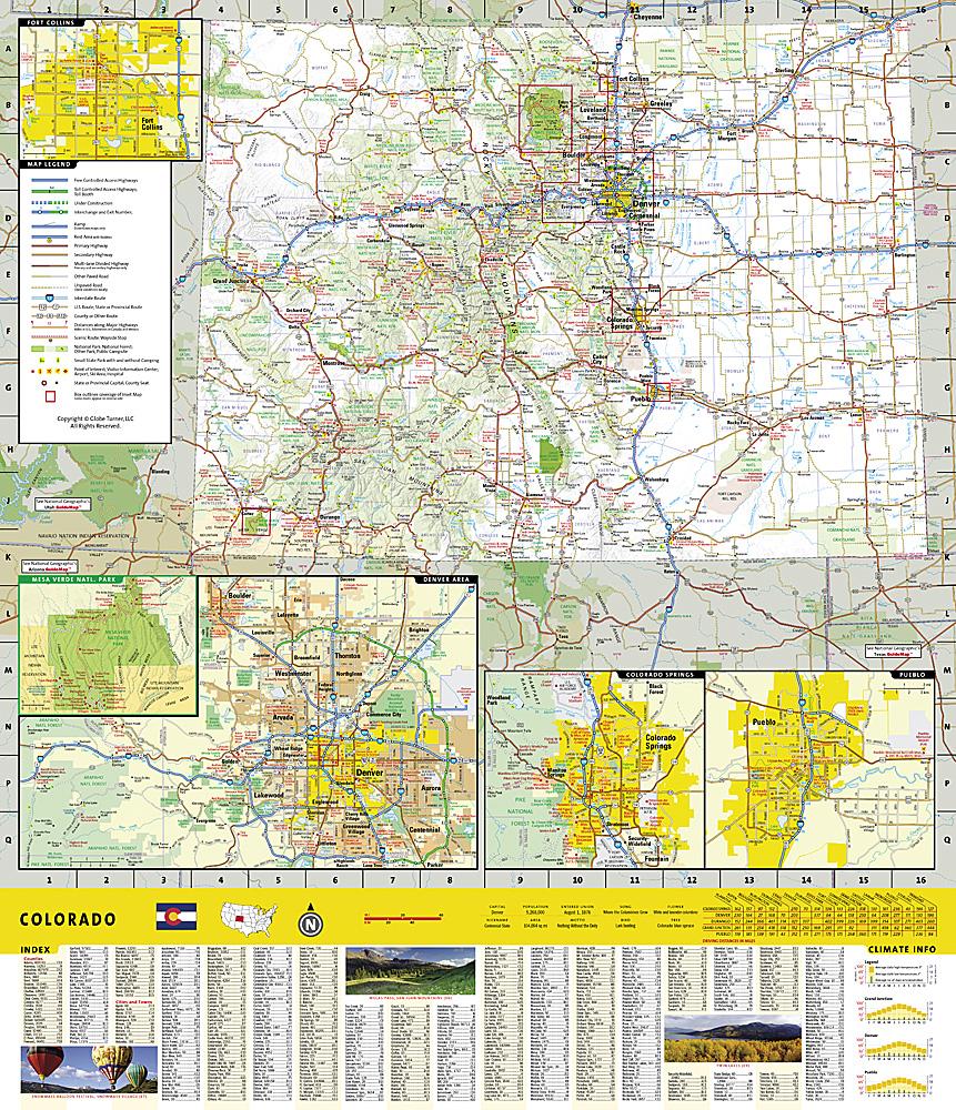
The spectacular topography of the Centennial State is expertly rendered on National Geographic's Colorado Wall Map. Part of the growing series of State Wall Maps, this map depicts Colorado's varied terrain and vegetation in remarkable detail. Mountain ranges, prominent peaks, major lakes, rivers, and reservoirs, and other geographic features are highlighted. In addition to hundreds of place names, this map shows the precise locations of cities, major roads and railroads, airports, military installations, federal and state parks, and protected areas. Major recreational sites, such as the Colorado Trail, the Continental Divide Trail, and ski resorts, are also shown. This striking map would make an attractive addition to any office or study.

The map is packaged in a 2" diameter clear plastic tube. The tube features a decorative label showing a thumbnail of the map with dimensions and other relevant information.

The map is packaged in a 2" diameter clear plastic tube.


ISBN/EAN : 9781597752343
Publication date: 2014
Unfolded dimensions: 27.17 inches x 37.4 inches (69 x 95 cm)
Language(s): English
Weight: 230 g