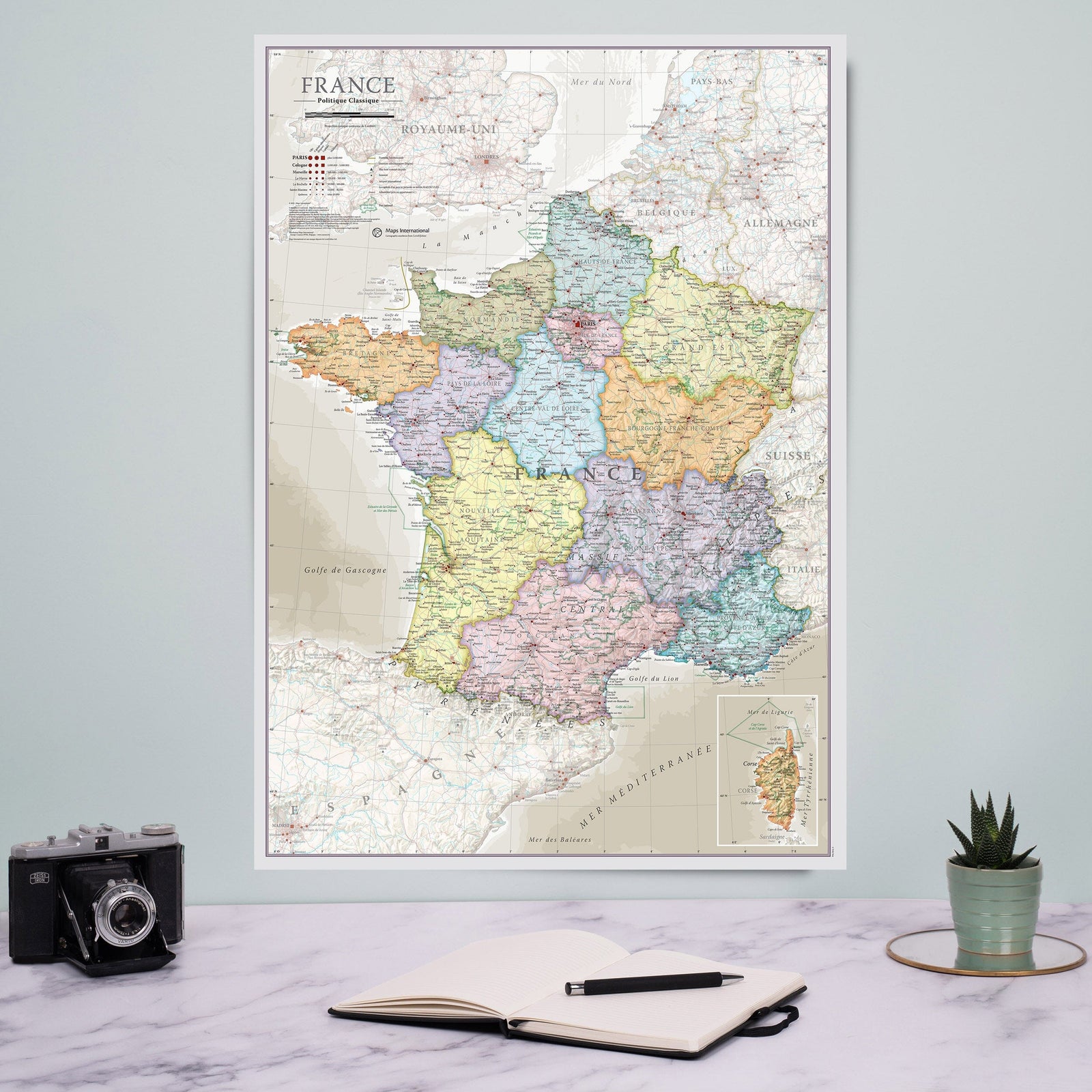
3D Relief Wall Map - Physical Map of France - 61 cm x 91 cm | 3D Map

Price
Regular price $9900
Regular price Sale price $9900
/
  • Shipped within 24 to 48h from our warehouse in France
  • All-inclusive price: customs duties are already paid by Cartovia
  • Real-time inventory
  • Cartovia Guarantee – Delivery issue?
    We resend immediately upon receiving a simple photo.
  • In stock, ready to ship
  • Backordered, shipping soon
Tax included.

Often purchased together:

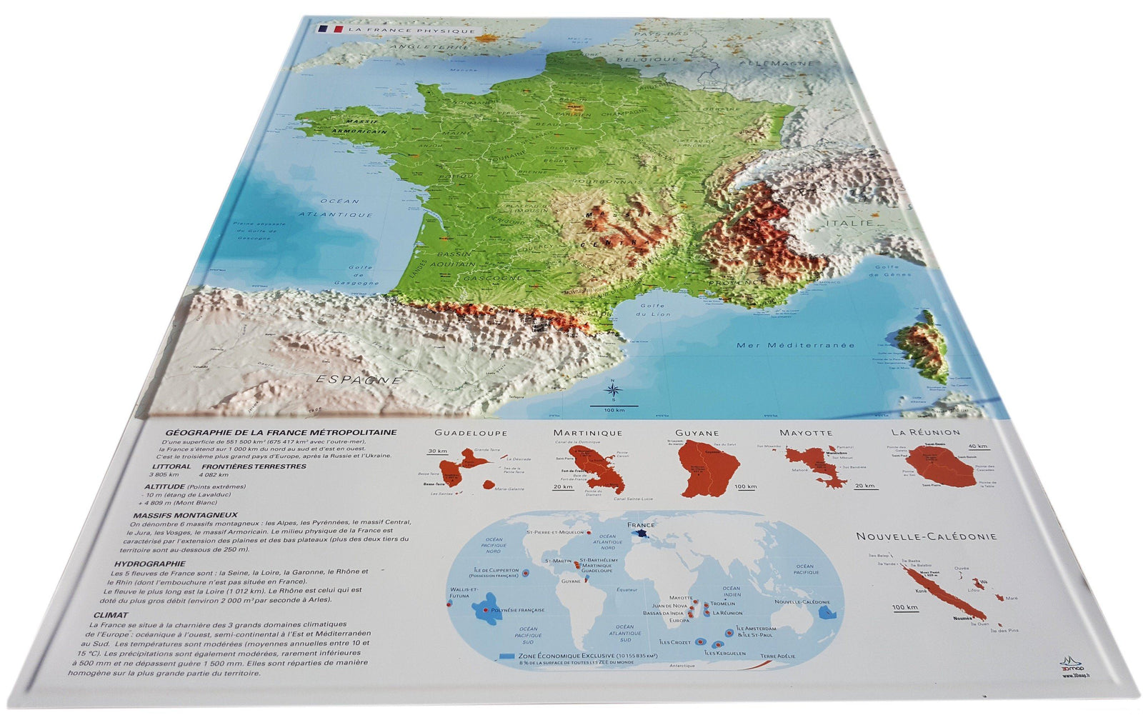
Discover this 3D relief wall map of France, a precise and educational representation that highlights the country’s major landforms and geographic features. Its clear, detailed 3D modelling makes it easy to understand the structure of the French landscape: mountain ranges, basins, plateaus, major valleys, natural regions and cultural areas.

This map is ideal for teaching, decoration, understanding the country or exploring France’s natural heritage.

Information shown on the map:

Major geographic features:

  • Mountain ranges
  • Basins
  • Plateaus
  • Cultural and historical regions

Key reference points:

  • Main peaks
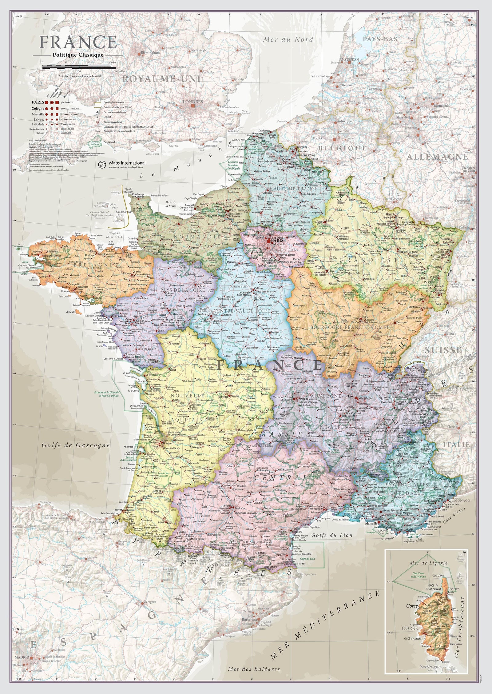
  • Rivers and major waterways
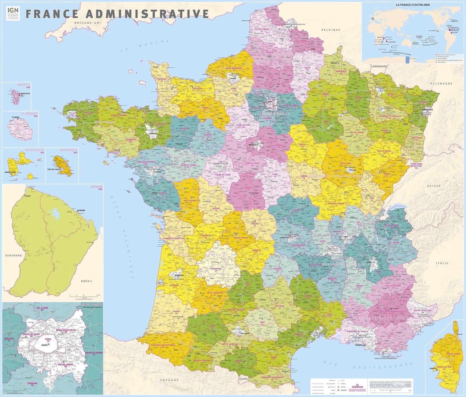
  • Departments
  • Prefectures and sub-prefectures

Territories and world context:

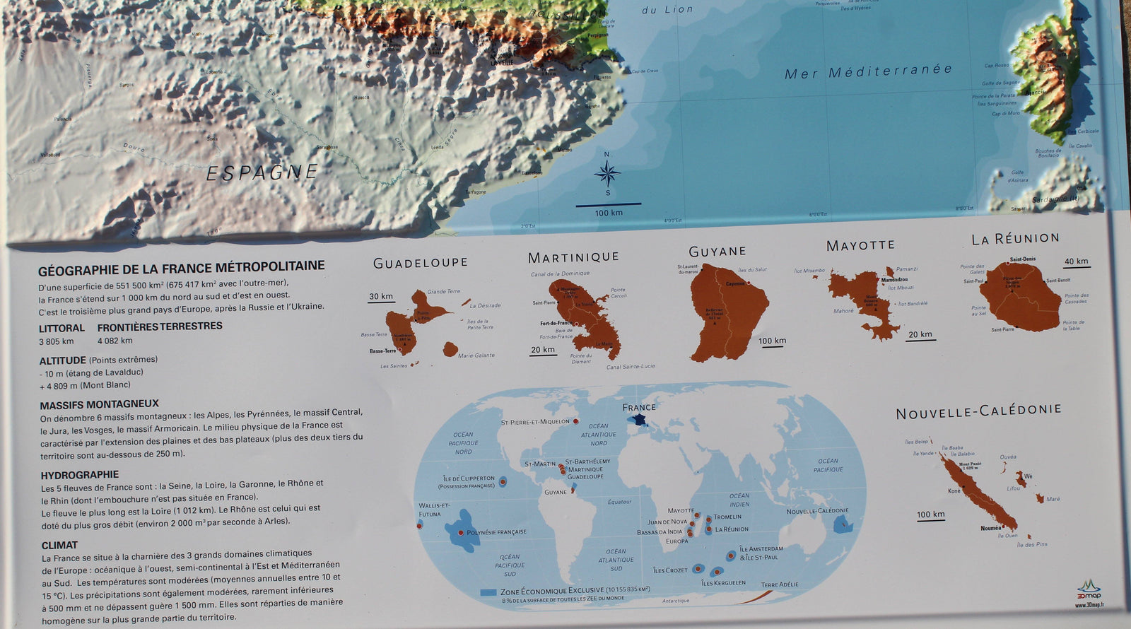
  • Overseas collectivities and territories
  • Mini world map

Educational content:

  • Hydrology explanation
  • Climate explanation
  • Geography explanation
  • Downloadable pack of 7 themed blank A4 maps:
  • Hydrology
  • Geology (2 maps)
  • Peaks
  • Cities
  • Neighbouring countries
  • France in the world

Scale:

1:2,000,000

This map is an ideal resource for teachers, students, geography enthusiasts and local authorities, or for decorating an interior with a clear and attractive representation of the relief of France.


ISBN/EAN : 9782955772935
Publication date: 2016
Scale: 1/2,000,000 (1cm=20km)
Unfolded dimensions: 61cm x 91cm
Language(s): French
Weight: 320 g