Hiking map No. 34 - Tux Alps | Kompass

Price
Regular price $2600
Regular price Sale price $2600
/
  • Shipped within 24 to 48h from our warehouse in France
  • All-inclusive price: customs duties are already paid by Cartovia
  • Free returns (*)
  • Real-time stock levels
  • Cartovia Guarantee – Delivery issue?
    We resend immediately upon receiving a simple photo.
  • Low stock - 2 items left
  • Backordered, shipping soon
Tax included.

Frequently bought together:

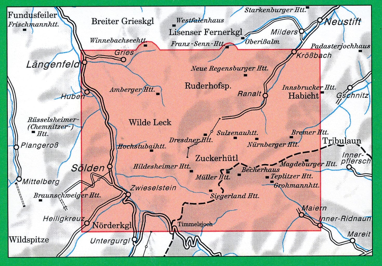
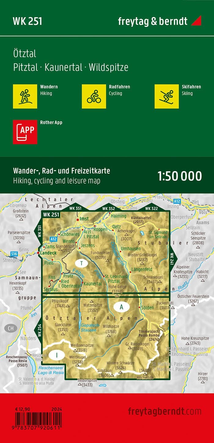
This hiking map covers Tux Alps.

Explore the Tux Alps with this Kompass 1:50,000 hiking map. It covers a large part of Tyrol between the Inn Valley, Wipp Valley and Zillertal, with numerous hiking, cycling and mountain routes.

Detailed, easy-to-read mapping makes it ideal for planning outings and navigating this Alpine region of peaks, pastures, small lakes and panoramic viewpoints.

Map details

  • Scale: 1:50,000 (1 cm = 500 m)
  • Hiking trails and long-distance walking routes
  • Cycle paths and mountain biking trails
  • Via ferrata
  • Mountain huts and inns
  • Car parks and public transport
  • Ski routes and cross-country ski trails
  • Springs, swimming spots and points of interest
  • Relief depicted through contour lines, rock drawings and shading
  • Tear-resistant and weather-resistant paper
  • Map section available offline in the Kompass app


ISBN/EAN : 9783991544777
Publication date: 2026
Scale: 1:50,000 (1 cm = 500 m)
Folded dimensions: 4.3 x 7.5 in
Language(s): German
Weight: 107 g