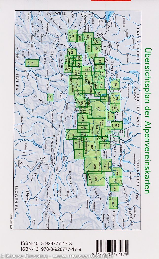
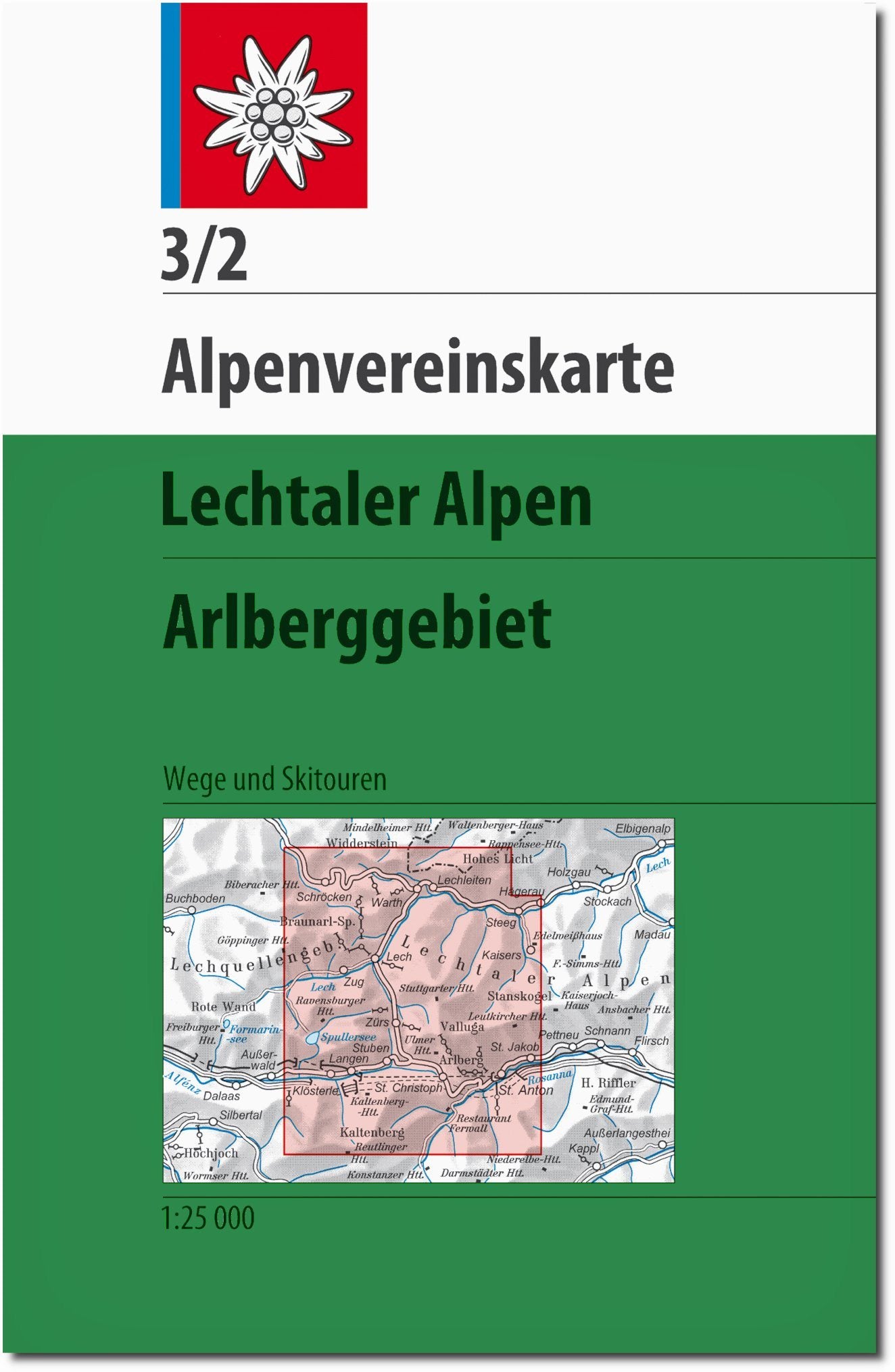
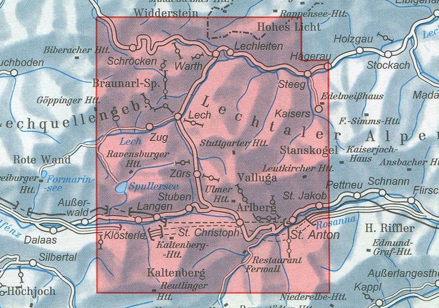
Hiking maps - Hohe Tauern National Park (set of 3) | Kompass - 1:50,000

Price
Regular price $3500
Regular price Sale price $3500
/
  • Shipped within 24 to 48h from our warehouse in France
  • Customs duties may apply on import to your country
  • Free returns (*)
  • Real-time stock levels
  • Cartovia Guarantee – Delivery issue?
    We resend immediately upon receiving a simple photo.
  • In stock, ready to ship
  • Backordered, shipping soon
Tax included.

Frequently bought together:

The Kompass Hohe Tauern 3-map set covers one of the largest natural areas in Central Europe, including the Grossvenediger, Grossglockner, and Ankogel massifs. Ideal for hiking, cycling, and mountain activities, this set offers extensive and detailed coverage.

At a scale of 1:50,000, these maps allow for precise orientation and include all essential information for safely planning your routes.

📌 Features

  • Set of 3 maps for complete coverage
  • Scale: 1:50,000 (1 cm = 500 m)
  • Region: Hohe Tauern National Park (Austria)
  • Official hiking trails with names and numbers
  • Cycling and mountain biking routes
  • Activities: via ferrata, skiing, cross-country skiing
  • Practical information: huts, inns, parking, transport (bus & train)
  • Points of interest: springs, waterfalls, natural sites
  • Detailed relief: contour lines, rocks, vegetation, and shading
  • Regularly updated cartography
  • Compatible with the Kompass app (offline use)

🌍 Region covered

The Hohe Tauern National Park is Austria's largest national park, famous for its Alpine peaks, glaciers, and spectacular landscapes. It is home to the Grossglockner, the country's highest peak, as well as the Grossvenediger and the Ankogel, popular destinations for hikers and mountaineers.


ISBN/EAN : 9783991545354
Publication date: 2026
Scale: 1/50,000 (1cm=500m)
Folded dimensions: 11 x 19cm
Language(s): German
Weight: 216 g