Hiking map - Cape Wrath Trail South XT40 | Harvey Maps - National Trail maps

Price
Regular price $4400
Regular price Sale price $4400
/
  • In stock in France and in the UK
    Shipped within 24 to 48h from the warehouse closest to you
  • All-inclusive price: customs duties are already paid by Cartovia
  • Free returns (*)
  • Real-time stock levels
  • Cartovia Guarantee – Delivery issue?
    We resend immediately upon receiving a simple photo.
  • In stock, ready to ship
  • Backordered, shipping soon
Tax included.

Frequently bought together:

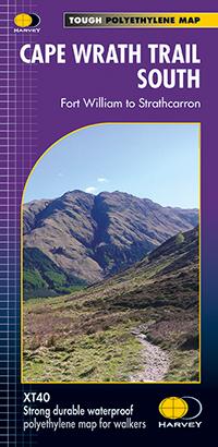
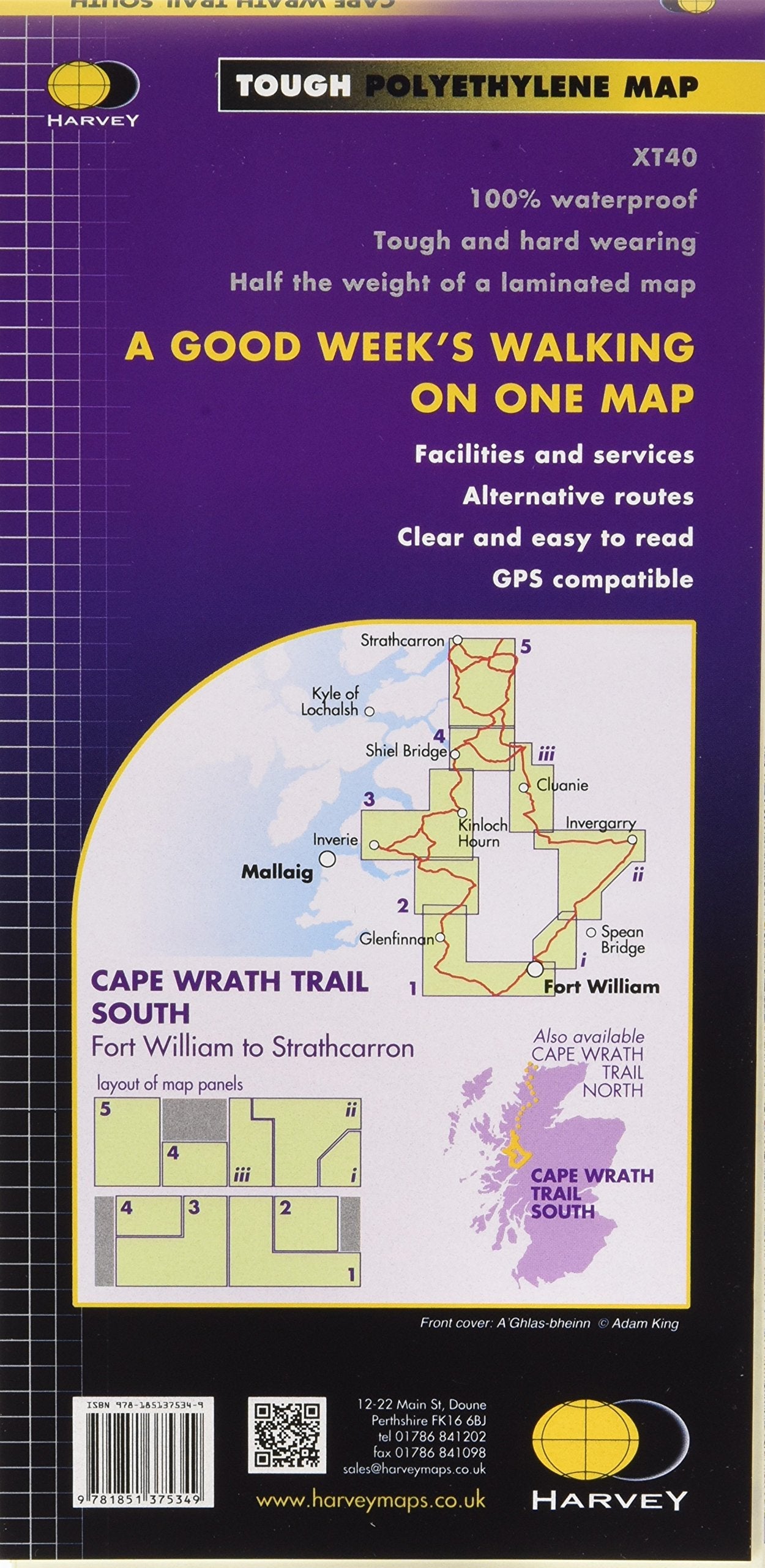
This map by Harvey Maps covers Cape Wrath Trail South.

The Cape Wrath Trail is a challenging route from Fort William to Cape Wrath. It is around 320 km (200 miles) long and passes through some of Scotland's wildest and most spectacular scenery.

This map covers the southern section of the route, from Fort William to Strathcarron.

The trail has evolved from use and is not an officially recognised National Trail. There is no single definitive route. There are various ways of tackling the traverse all of which are highlighted on the map leaving the actual route choice to the individual walker.

This is rough country not to be underestimated. Some sections of the route will require an overnight stop in the mountains. This will either have to be wild camping or the use of a bothy. Bothies are shown on the map.

  • Tough, light, durable and 100% waterproof.
  • Route clearly marked on the map.
  • A good week’s walking on one map.


ISBN/EAN : 9781851375349
Publication date: 2022
Scale: 1/40,000 (1 cm = 400 m)
Printed sides: front
Folded dimensions: 11.6 x 24.3cm
Unfolded dimensions: 69.6 x 97.2cm
Language(s): English
Weight: 70 g