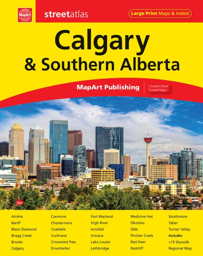
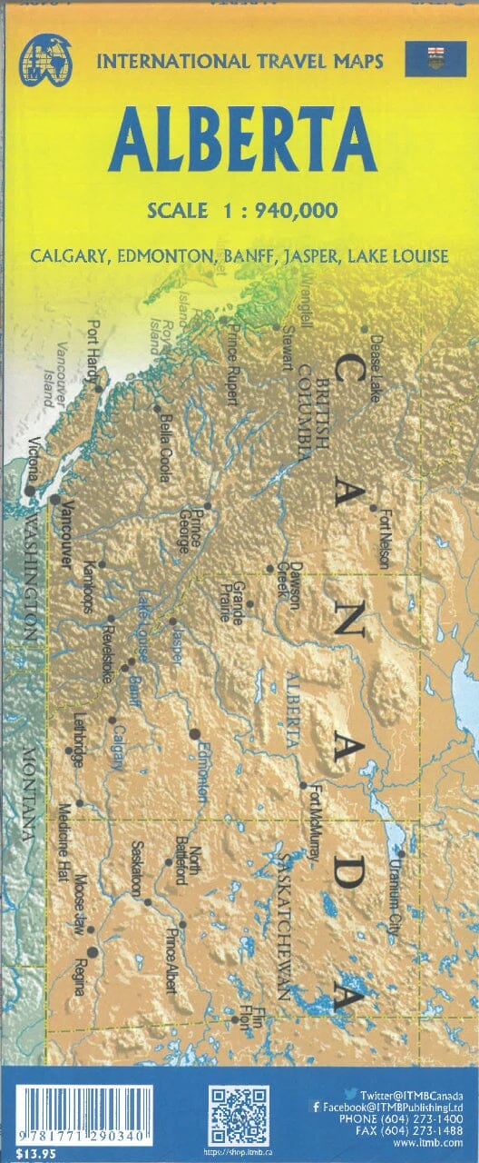
This 152-page street atlas of Calgary and southern Alberta is a driving companion for residents and short-term visitors alike, with the features needed to navigate unfamiliar areas.
Contents
- Locator maps.
- Listings of points of interest, hospitals, airports, golf clubs, universities and colleges.
- A downtown Calgary map at 1:10,000.
- Regional maps at 1:250,000.
- City maps at 1:21,000.
- An Alberta distance table.
- A detailed street index.
City coverage includes Airdrie, Banff, Black Diamond, Bragg Creek, Brooks, Calgary, Canmore, Chestermere, Coaldale, Cochrane, Crowsnest Pass, Drumheller, Fort Macleod, High River, Innisfail, Irricana, Lake Louise, Lethbridge, Medicine Hat, Okotoks, Olds, Pincher Creek, Red Deer, Redcliff, Strathmore, Taber and Turner Valley.
Detailed city maps show divided highways, main roads, secondary roads, major thoroughfares, minor streets, alleys and private roads, and interchange numbers.