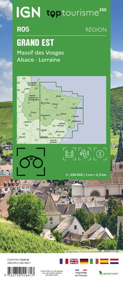
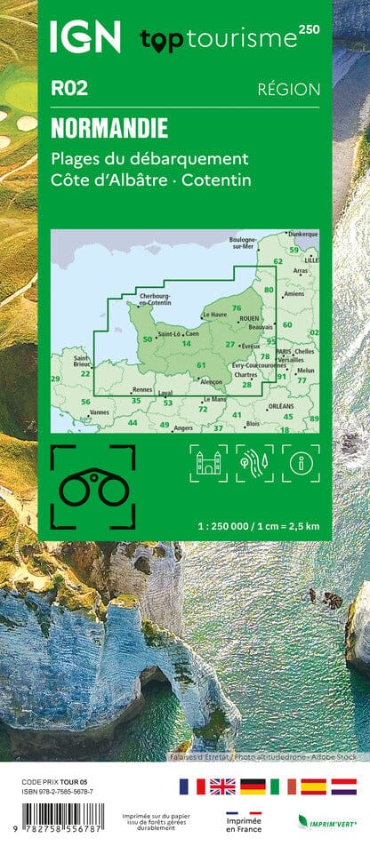
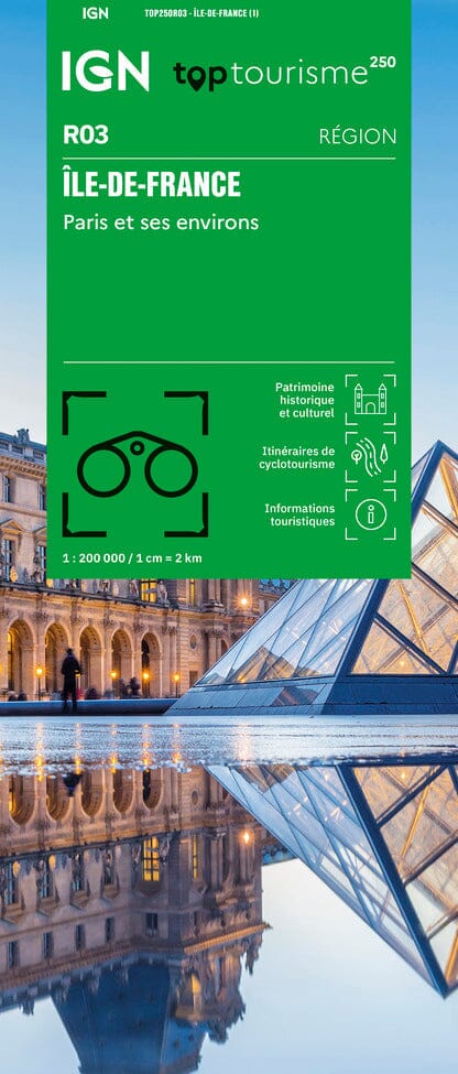
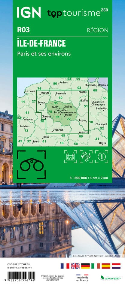
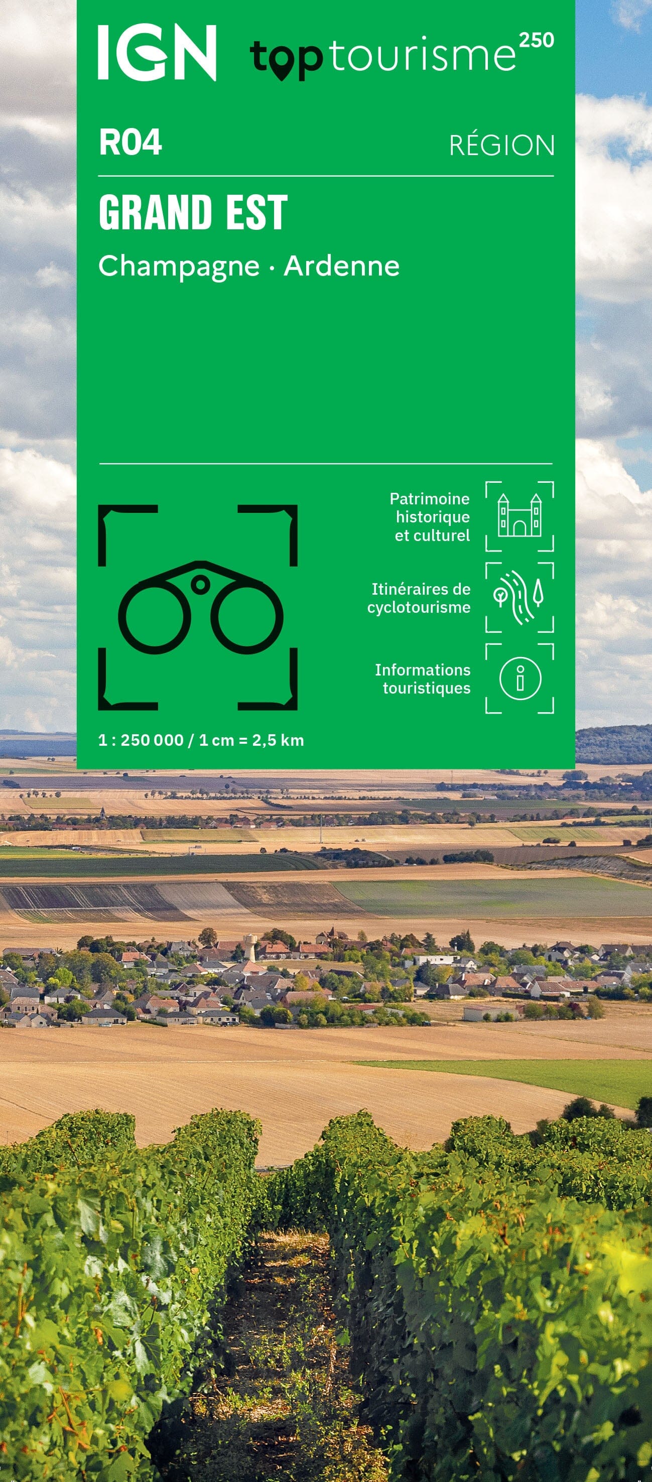
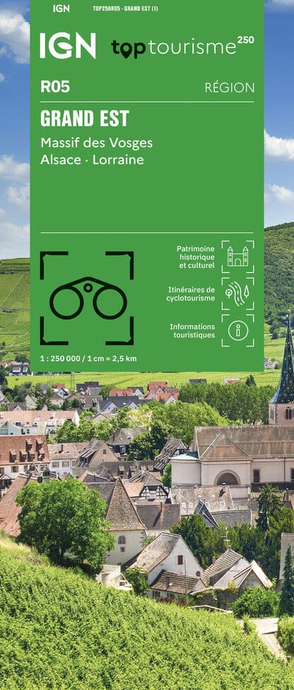
TOP 250 Regional Map No. 5 - Grand Est (Vosges Mountains, Alsace, Lorraine) | IGN

Price
Regular price $1200
Regular price Sale price $1200
/
  • Ships within 5 to 8 working days
    (Currently in transit to our warehouse in France)
  • Cartovia Guarantee – Delivery issue?
    We resend immediately upon receiving a simple photo.
Tax included.

Often purchased together:

IGN regional road map covering the Grand Est region (part of the Vosges Mountains, Alsace, Lorraine). Printed on one side only.
- Toll and free motorway networks
- A new name TOP tourism 250 for a better understanding of its use
- UNESCO World Heritage Sites
- Great Sites of France
- Highlighting National Parks and Regional Natural Parks
- Stopover villages
- River tourism
- Tourist information.
- Captions available in six languages: French, English, German, Italian, Spanish and Dutch.


ISBN / EAN : 9782758556817
Date de publication : 2025
Echelle : 1/250,000 (1cm=2.5km)
Impression: front
Dimensions plié(e) : 11 x 25cm
Langue : French, English, German, Spanish, Italian, Dutch
Poids : 100 g