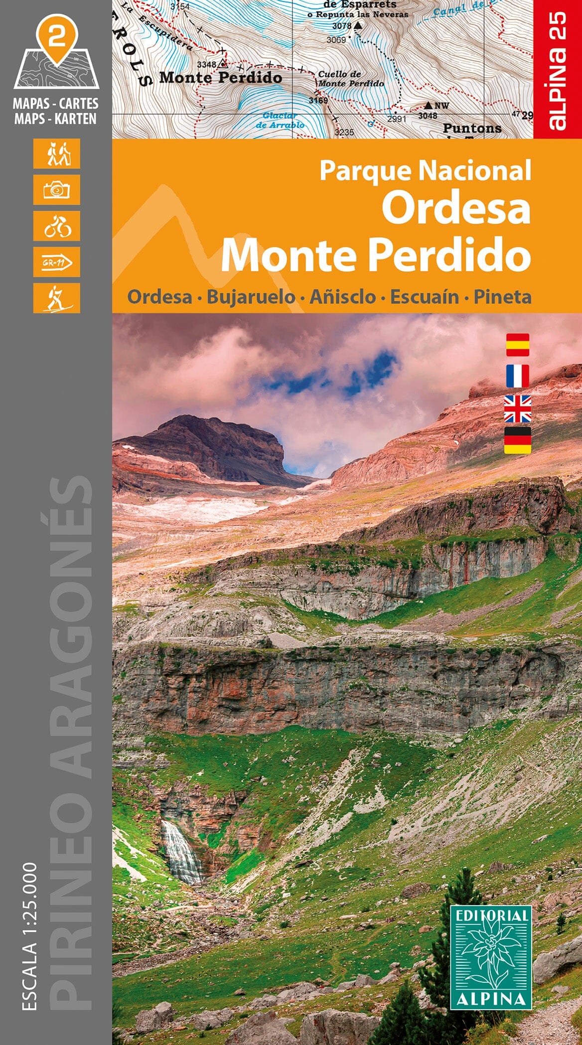
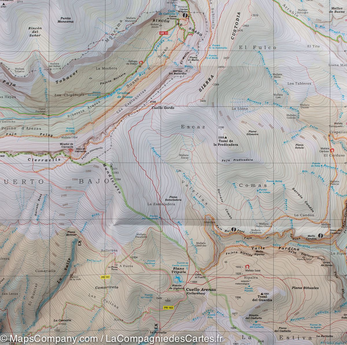
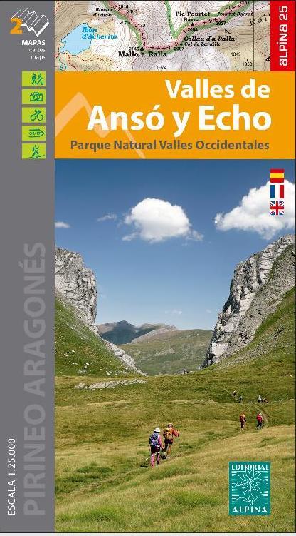
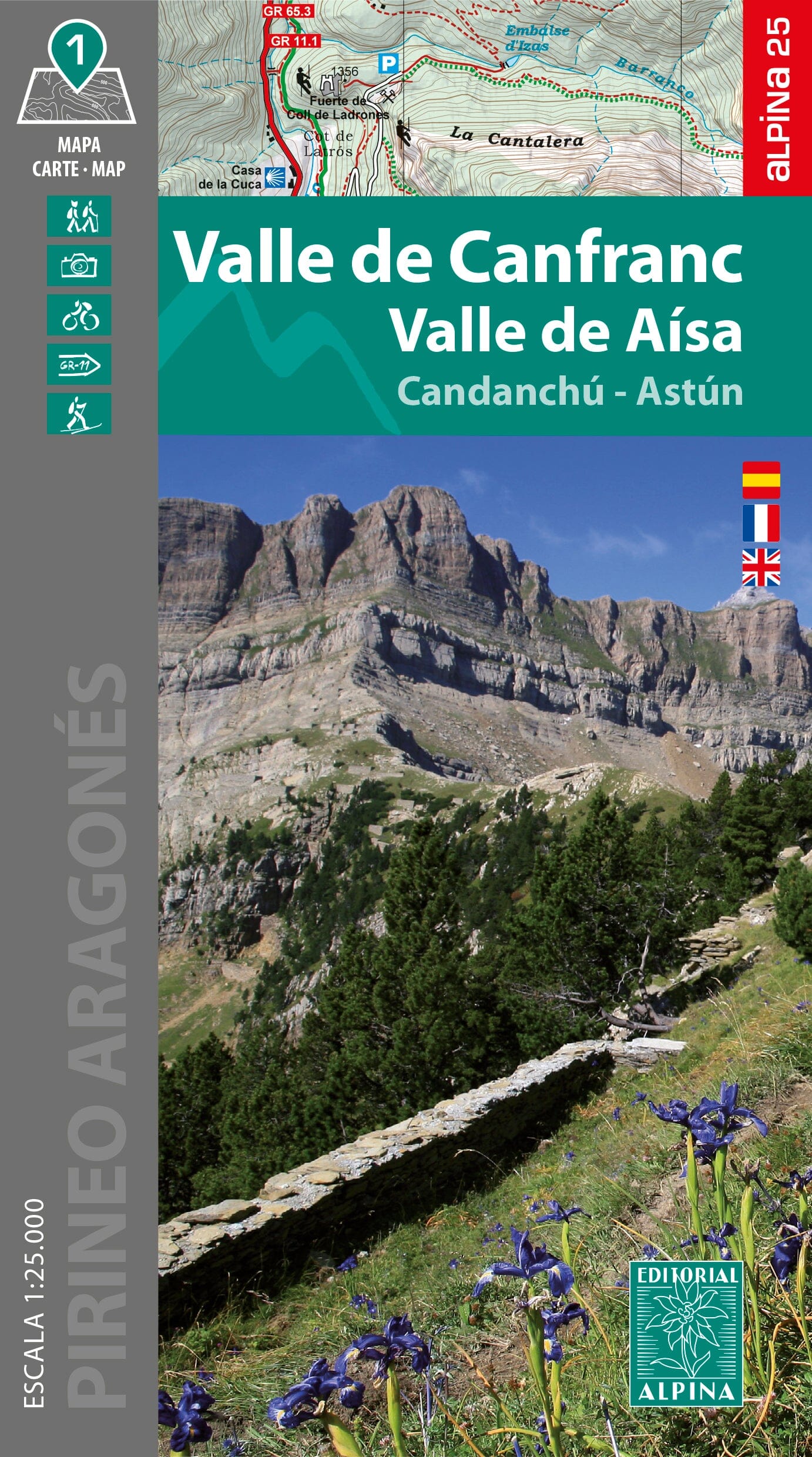
Hiking Map - Bachimala, Chistau and Bielsa Valleys (Aragonese Pyrenees) | Alpina - 1:25,000

Price
Regular price $2500
Regular price Sale price $2500
/
  • Shipped within 24 to 48h from our warehouse in France
  • Customs duties may apply on import to your country
  • Free returns (*)
  • Real-time stock levels
  • Cartovia Guarantee – Delivery issue?
    We resend immediately upon receiving a simple photo.
  • In stock, ready to ship
  • Backordered, shipping soon
Tax included.

Frequently bought together:

This Alpina hiking map covers the spectacular area of the Bielsa and Chistau (Gistaín) valleys, in the heart of the Aragonese Pyrenees, in the Sobrarbe region. This high-mountain territory, marked by a significant glacial heritage, offers wild landscapes composed of high-altitude lakes, deep valleys, and peaks exceeding 3,000 meters.

To the north, on the French-Spanish border, rise several emblematic peaks, including the Grand Bachimala (or Pic Schrader) culminating at 3,174 m, as well as the Pic de Lustou (3,021 m), the Culfreda and the Pic de Guerreys.

📌 Features

  • Detailed topographic map at 1:25,000
  • Marked trails:
    • GR (Long-distance hiking trails)
    • PR (Short-distance hiking trails)
    • SL (Local trails)
  • Complete network of trails
  • Mountain refuges
  • Sites and points of interest
  • Useful information for hiking

🌍 Area covered

  • Bielsa Valley
  • Chistau (Gistaín) Valley
  • Sobrarbe region
  • Bachimala sector
  • French-Spanish border

🏔️ A territory shaped by glaciers

The region presents numerous testimonies of past glacial activity:

  • high-altitude lakes of Urdiceto,
  • lakes of Cau,
  • lakes of Barleto,
  • hanging valleys and remarkable alpine reliefs.

The Bielsa and Chistau valleys are separated by the peaks of Punta Fuesa (2,865 m) and Punta Suelsa (2,972 m).

📖 Additional information included

The map's foldable flap includes:

  • route suggestions
  • presentation of essential sites
  • information on refuges
  • geographical information about the region

This map is an excellent resource for hiking, trekking, and exploring one of the wildest sectors of the central Pyrenees.


ISBN/EAN : 9788470112126
Publication date: 2026
Scale: 1/25,000 (1cm=250m)
Printed sides: front
Folded dimensions: 21 x 12.5cm
Unfolded dimensions: 70x100cm
Language(s): French, English, Castilian
Weight: 121 g