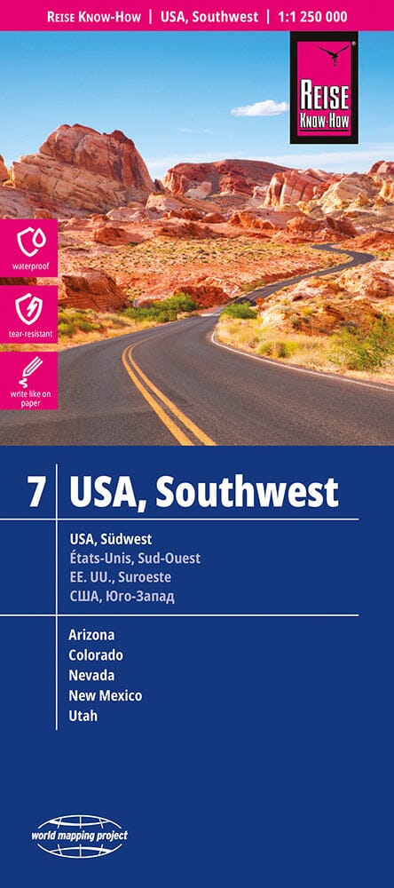
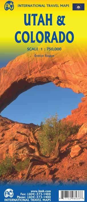
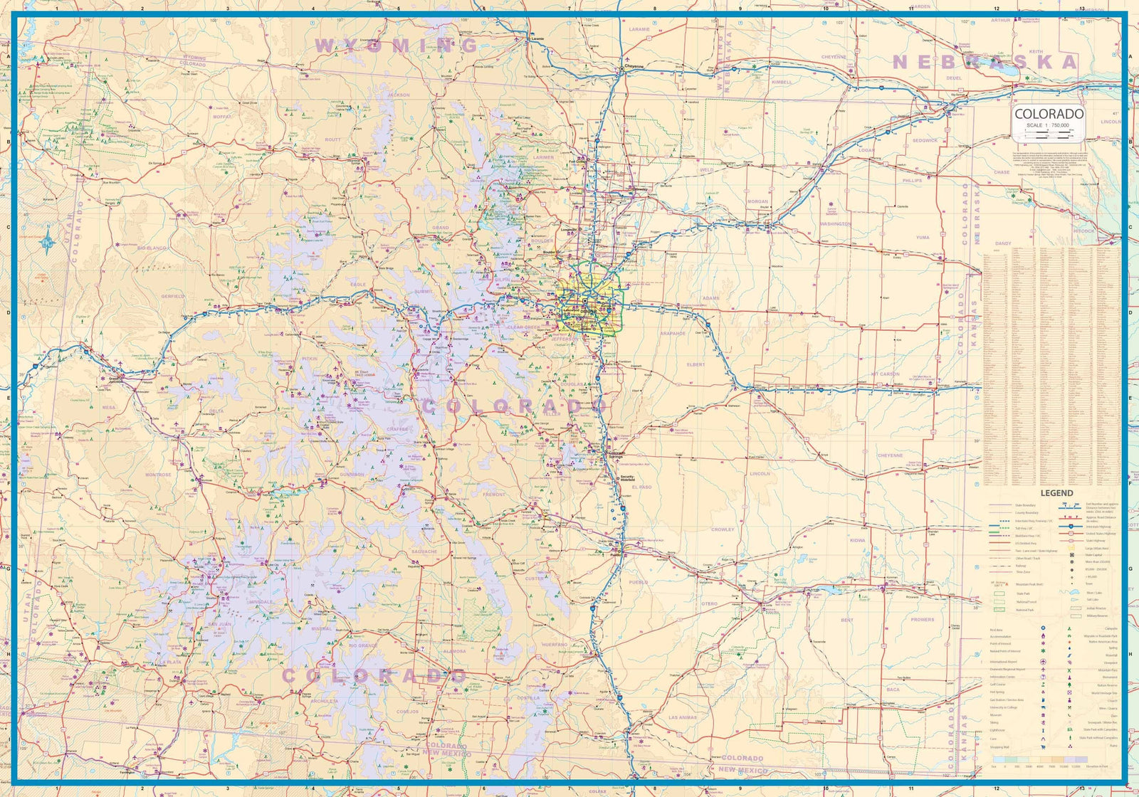
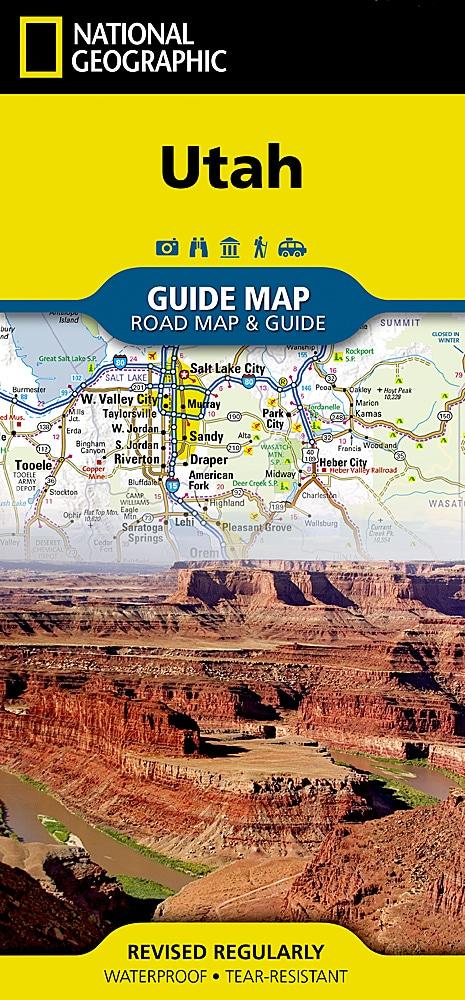
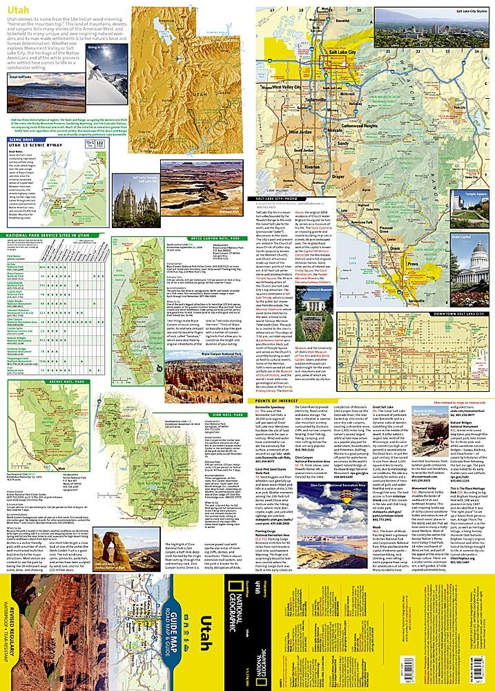
- Carte topographique imperméable - résistante à la déchirure.
La couverture comprend San Rafael Reef ; Green River, Huntington, Castle Dale ; Muddy Creek et San Rafael River ; Upper et Lower Black Box ; the Chute ; Cedar Mountain ; the Wedge ; Sids Mountain Wilderness Study Areas : San Rafael Reef, Crack Canyon, Muddy Creek, Devils Canyon, Sids Mountain, Mexican Mountain, Goblin Valley State Park ; Cleveland-Lloyd Dinosaur Quarry. Comprend des grilles UTM pour une utilisation avec votre appareil GPS.
ISBN/EAN : 9781566953313
Date de publication : 2019
Dimensions plié(e) : 9.45 x 4.33 pouces / 24 x 11 cm
Dimensions déplié(e) : 37.01 x 25.2 pouces / 94 x 64 cm
Langue(s) : anglais
Poids :
3.2 oz


