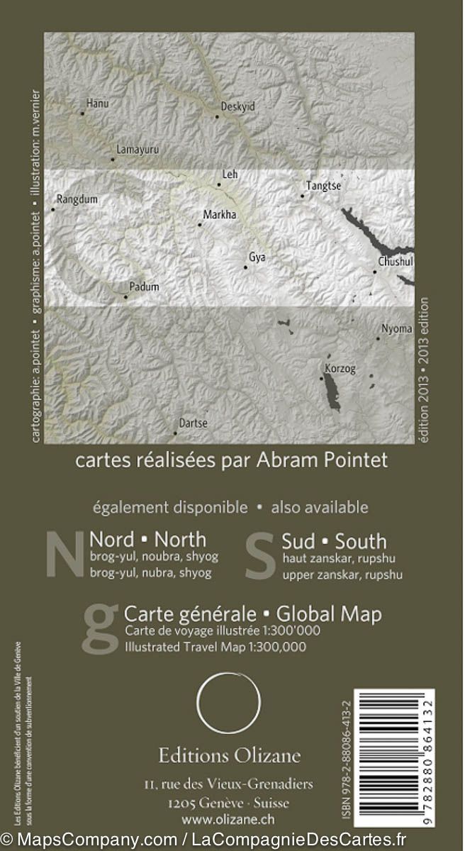
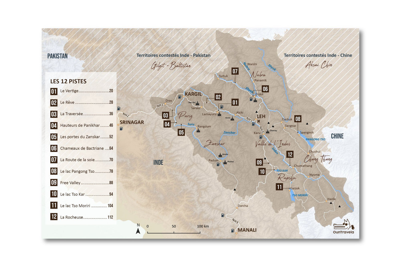
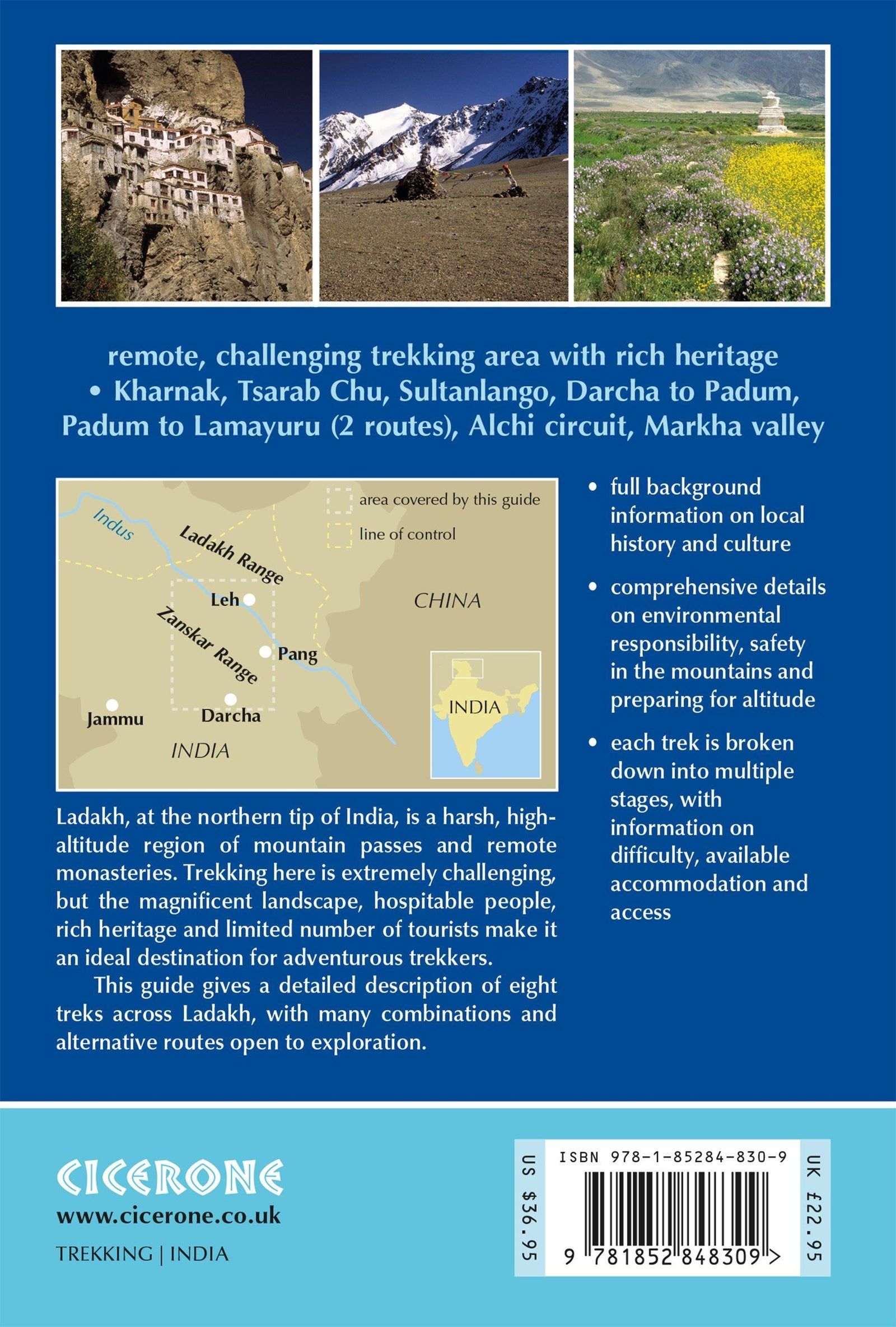
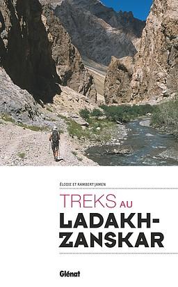
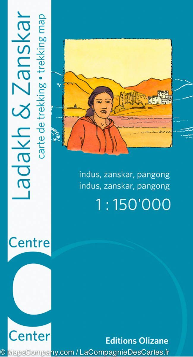
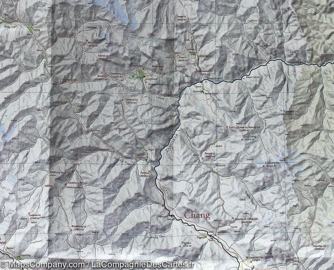
Carte de randonnée - Centre du Ladakh et du Zanskar (Inde) | Olizane
- Expédition sous 24 h ouvrées depuis notre entrepôt en France
- Frais de livraison calculés instantanément dans le panier
- Retours gratuits (*)
- Stocks en temps réel
- En stock
Plus de 19 500 cartes 🗺️ et guides de voyage, cartes de randonnée, posters, globes, déco en stock !
La Compagnie des Cartes devient Cartovia ✨ On vous raconte tout ici 🗺️
Livraison gratuite pour toute commande > 50 € (cartes pliées et guides, France métropolitaine)
Carte topographique du centre du Ladakh et du Zanskar (Inde) éditée par Olizane. Carte détaillée incluant la zone de Zanskar et du lac de Pangong. Légende détaillée (col, sentier, route, campement, site, rivière, glacier…). Compatible GPS (Quadrillage UTM).
Echelle 1 / 150 000 (1 cm =1,5 km).
ISBN/EAN : 9782880864132
Date de publication : 2013
Echelle : 1/150 000 (1 cm = 1,5 km)
Impression : recto-verso
Dimensions plié(e) : 22 x 12 x 0,5 cm
Dimensions déplié(e) : 96 x 66 cm
Langue(s) : français, anglais
Poids :
59 g
La carte correspond tout à fait à l’attente.
There are a but a handful of Ladakh trekking maps. The Olizane series is the most detailed at 1;150,000 scale. There are N, Central and S maps in the series. They are essential resources given their detail. If they could reprint or reorganize this series, it would be most practical to center a map on the Leh/Indus R corridor. Similarly, organizing along a Zanskar or Nubra axis would be practical. Trips in Ladakh are along river valleys and the passes between them.....The Milestone Himalayan Series (1;175,000) has the Leh/Indus R focus but lack the topographic lines of the Olizane series. In conclusion, the 3 Olizane maps are very good because of their scale and topographic lines, but may require you to splice two maps to cover your trek or trip. For example if you travel from Leh to Alchi to Lamayaru you will need both the N and Central maps....so not perfect!
L'infolettre exclusive des passionnés de voyage et de découverte !