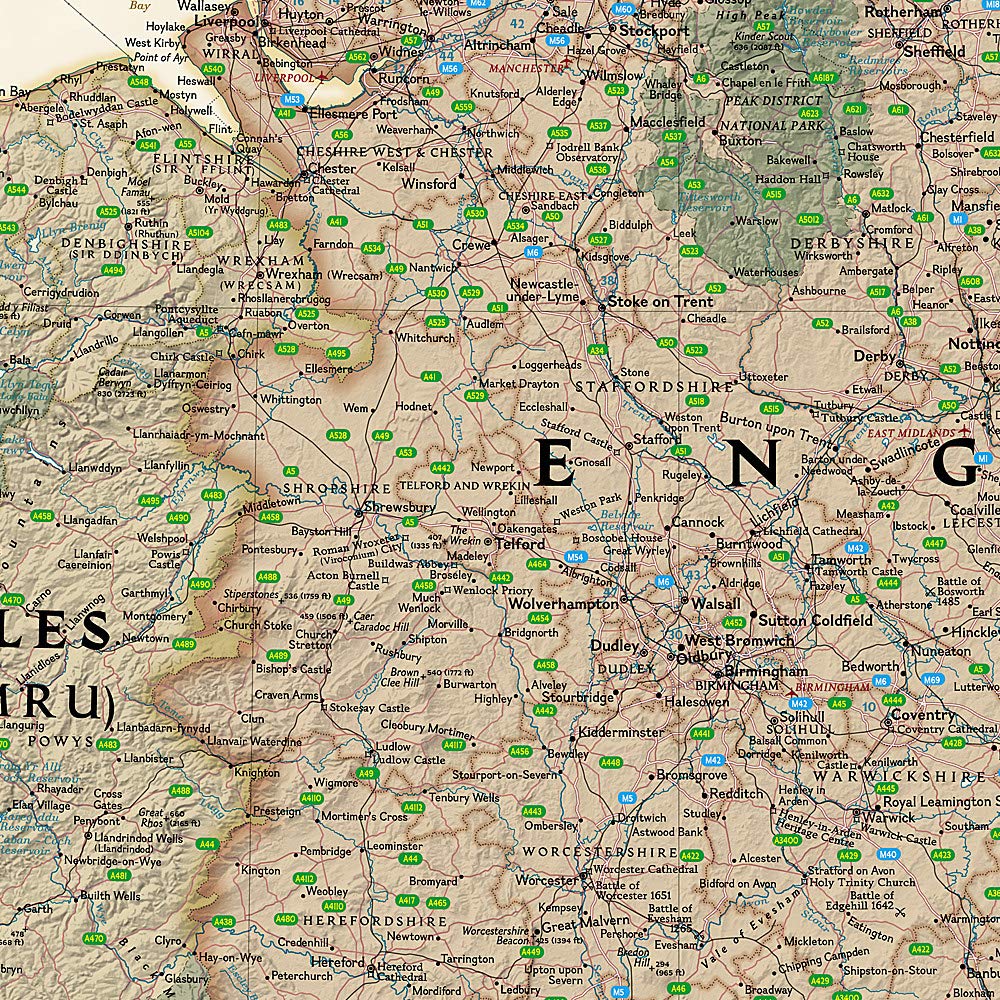
Carte de randonnée imperméable au 1/25 000 éditée par Harvey Maps, idéale pour découvrir les plus belles régions de l'Angleterre, du Pays de Galles ou de l'Écosse.
Description originale de l'éditeur :
Shows the whole of the ridge from North Malvern to Whiteleaved Oak, including the Herefordshire and Worcestershire Beacons.
Detailed map for walkers, cyclists and horseriders of the Malvern Hills Area of Outstanding Natural Beauty.
Tough, light, durable and 100% waterproof
Includes Rights of Way
Opens directly to either side of the sheet
Easy to re-fold
ISBN/EAN : 9781851376056
Date de publication : 2017
Echelle : 1/25 000 (1 cm = 250 m)
Impression : recto-verso
Dimensions plié(e) : 11,6 x 24,3 cm
Dimensions déplié(e) : 48,6 x 140 cm
Langue(s) : anglais
Poids :
82 g


