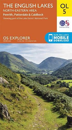
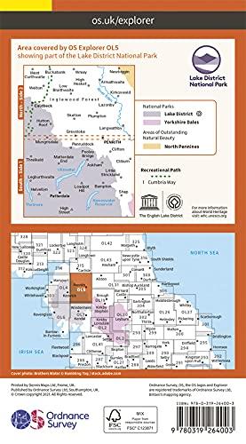
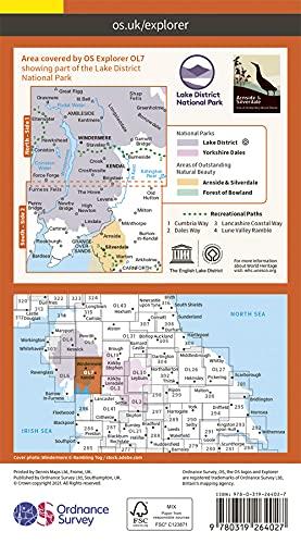
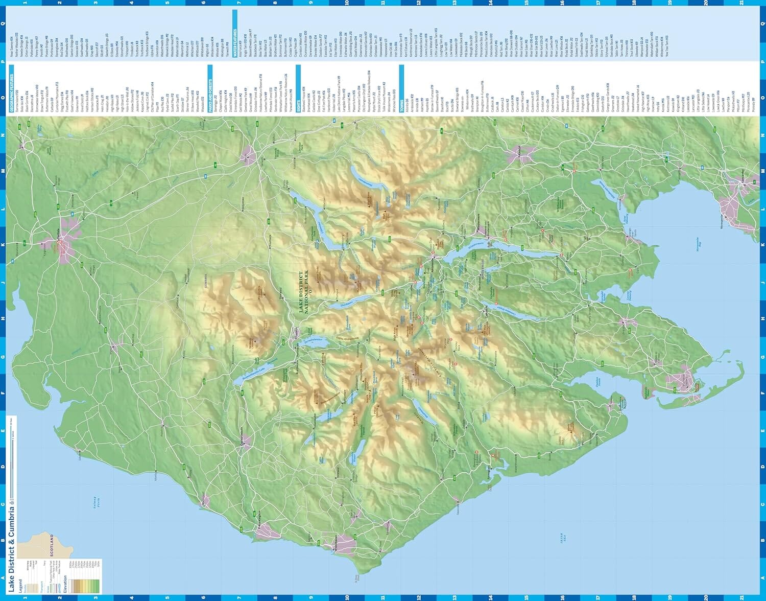
Carte de randonnée imperméable au 1/25 000 éditée par Harvey Maps, de l'est du Lake District.
Description originale de l'éditeur :
Features Helvellyn and High Street and fells east of the Kendal-Keswick road. The Kirkstone Pass, Ullswater, Haweswater and Kentmere are on this sheet.
Detailed map for hillwalkers of the eastern fells of the Lake District National Park.
Includes 82 Wainwrights.
Tough, light, durable and 100% waterproof
Includes Rights of Way
Opens directly to either side of the sheet
Easy to re-fold


