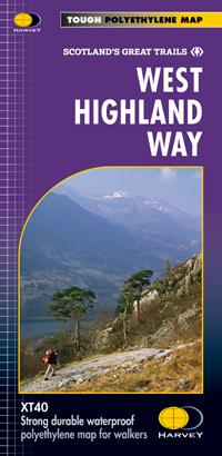
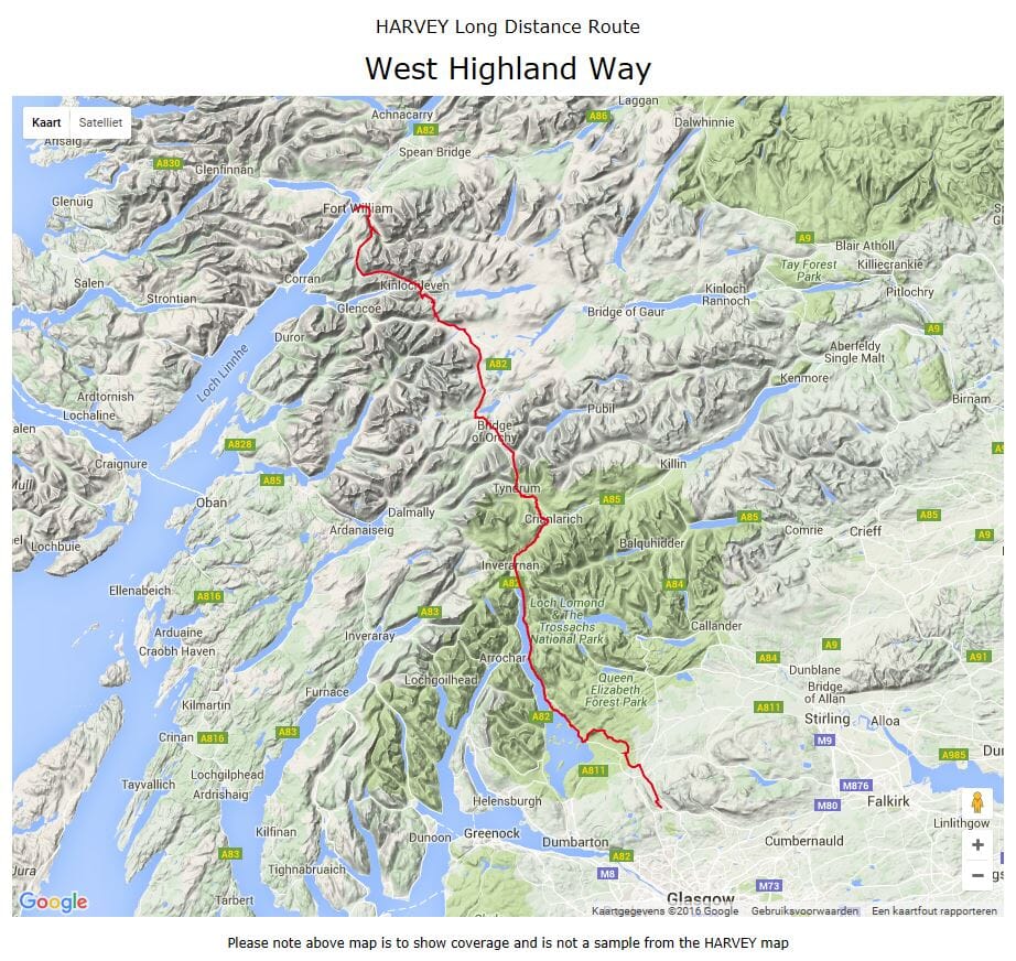
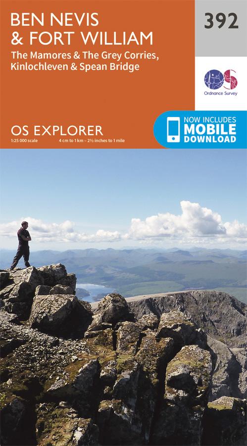
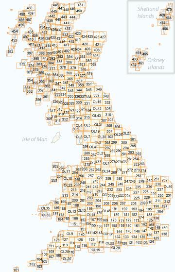
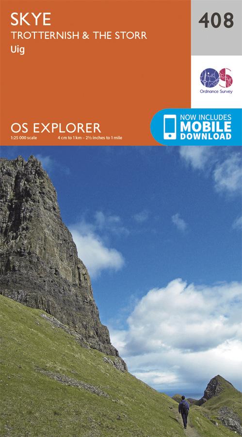
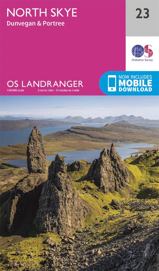
Carte de randonnée imperméable au 1/25 000 éditée par Harvey Maps, idéale pour découvrir les plus belles régions de l'Angleterre, du Pays de Galles ou de l'Écosse.
Description originale de l'éditeur :
The Galloway Hills form part of the Southern Uplands of Scotland. This map for hillwalkers covers Glen Trool and Loch Dee north to Loch Doon and Carrick Forest. It covers a large part of the popular Galloway Forest Park.
The Minnigaff Hills, Merrick, Corserine, the Dungeon Hills and many lochs make this area a delight to walk.
Tough, light, durable and 100% waterproof
Includes Rights of Way
Opens directly to either side of the sheet
Easy to re-fold


