Tuolumne Meadows and High Sierra Camp Loop | Tom Harrison Maps
- Free returns (*)
- Real-time stock levels
-
Cartovia Guarantee – Delivery issue?
We resend immediately upon receiving a simple photo.
📦 Hard-to-find maps - worldwide shipping
📦 Hard-to-find maps & travel guides - worldwide shipping, 30-day returns
🌞 Summer travel: 20,000+ maps in stock
🌞 Plan your summer: 20,000+ maps and travel guides in stock Details →
✅ Latest editions guaranteed — since 2010
✅ Latest editions guaranteed - 180,000+ travellers equipped since 2010
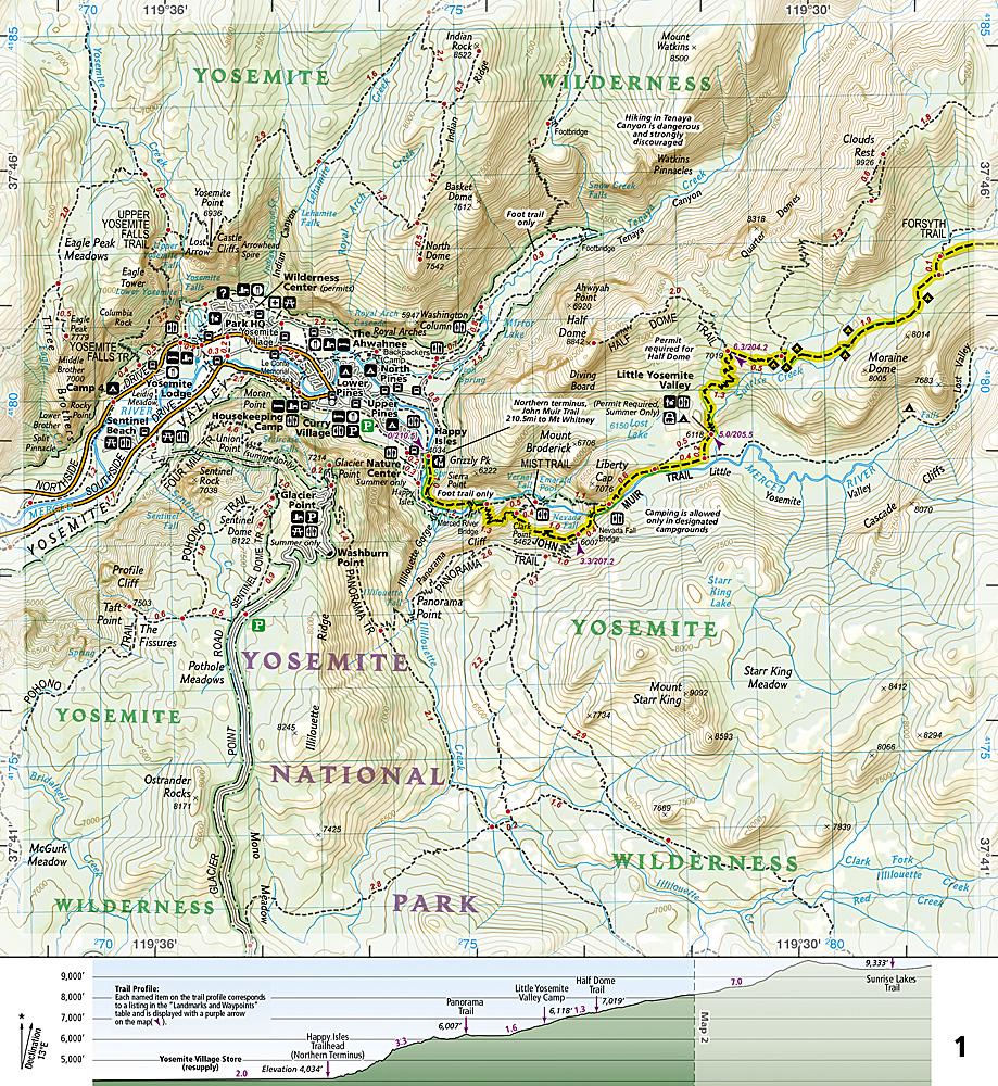
The Tuolumne Meadows and High Sierra Camp Loop folded topographic map from Tom Harrison Maps covers May Lake, Glen Aulin, Vogelsang, Merced Lake, Sunrise, Elizabeth Lake, Waterwheel Falls and Tenaya Lake.
It includes the entire High Sierra Loop and the intersection of the John Muir and Pacific Crest trails.
GPS-compatible and printed on high-quality, waterproof, tear-resistant material.
ISBN/EAN : 9780989457965
Publication date: 2021
Folded dimensions: 9.06 inches x 4.33 inches (23 x 10 cm)
Unfolded dimensions: 16.54 inches x 24.8 inches (42 x 62 cm)
Language(s): English
Weight:
0.7 oz
The exclusive newsletter for travel and discovery enthusiasts!