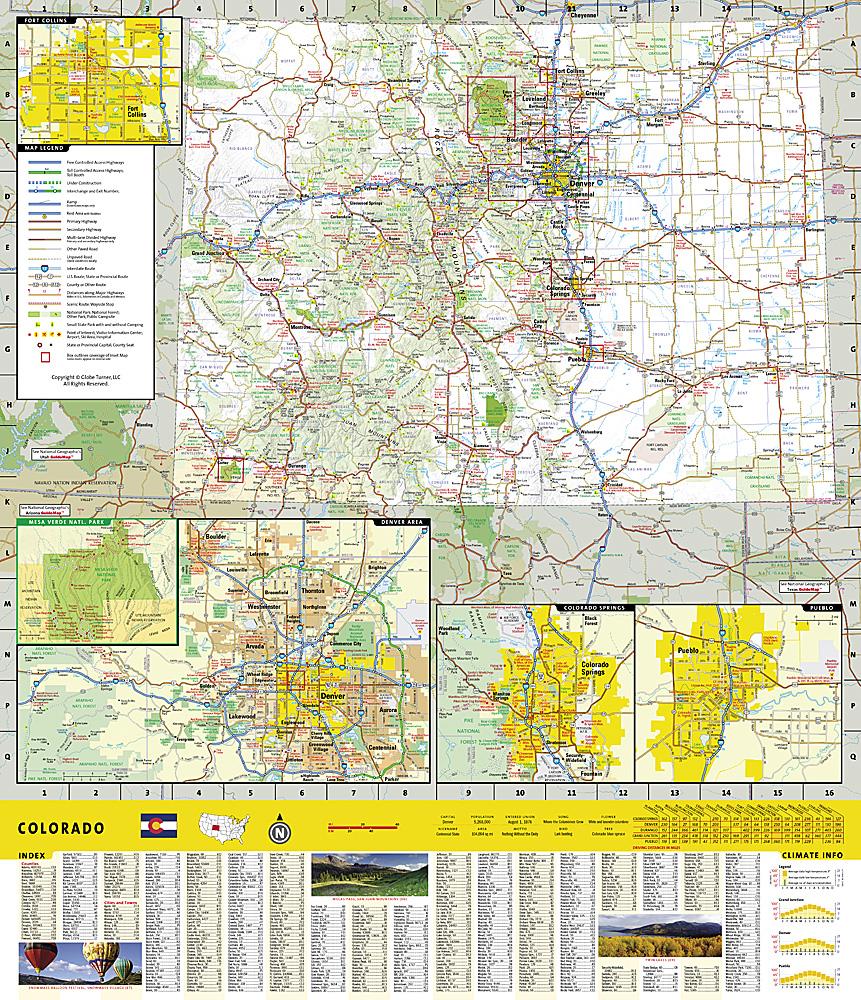
National Geographic's Trails Illustrated map of Flat Tops North, Colorado, provides detailed information for exploring Colorado's second-largest wilderness area, with flat-topped mountains, subalpine terrain, alpine tundra and hundreds of streams, lakes and ponds.
Expertly researched and created with local land management agencies, it highlights Oak Ridge State Wildlife Area, North Fork White River, Flat Tops Trail Scenic Byway, Meeker, Trappers Lake, and Yamcolo and Stillwater Reservoirs.
Miles of mapped trails are highlighted by designated use, with distances between junctions. The base map shows contours, shaded relief and elevations for summits, passes and many lakes.
Recreation features include campsites, fishing areas, whitewater access, boat launches, trailheads, interpretive sites, horse corrals and picnic areas. Survival advice and agency contacts are also provided.
Other mapped features include Flat Tops Wilderness, Routt National Forest and White River National Forest.
Waterproof and tear-resistant. Scale: 1:63,360.