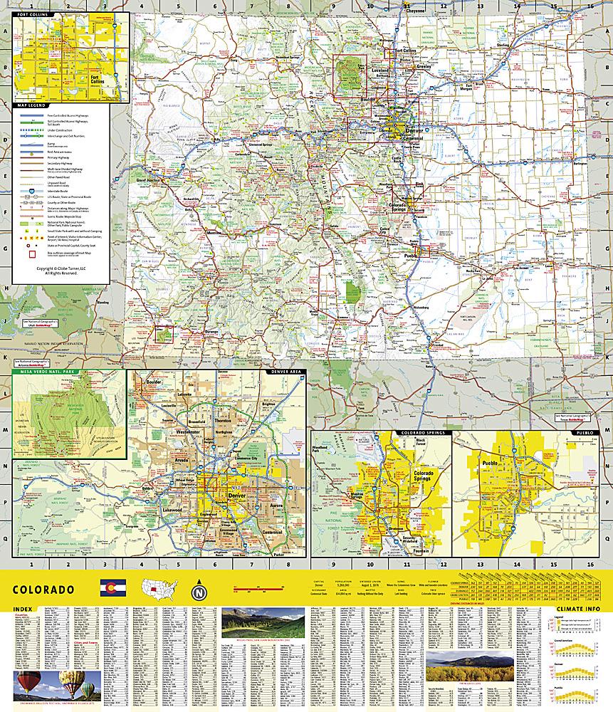
National Geographic's Trails Illustrated map of Elevenmile Canyon and South Park, Colorado, covers a region with year-round outdoor recreation. Created with the U.S. Forest Service, Colorado Parks and Wildlife and other agencies, this expertly researched map extends from Lost Creek Wilderness in the northeast to Salida in the southwest.
Highlighted recreation areas include Pike and San Isabel National Forests, Spinney Mountain and Elevenmile State Parks, James Mark Jones State Wildlife Area, the Platte River and Antero Reservoir.
Routes cater for hiking, horse riding, cycling, motorcycling, mountain biking and snowmobiling. Trails show distances between junctions. Navigation is supported by contours, elevations, labelled peaks and summits, water sources, a complete road network including forest service roads and scenic routes, and clearly designated public and private land.
Recreation symbols identify trailheads, campsites, public cabins, interpretive trails, climbing areas, boat ramps, whitewater access, fishing areas and drinking water. A camping guide lists campsites and their facilities in the Elevenmile Reservoir and canyon areas. A full UTM grid supports GPS navigation.
Other features include Antero Reservoir, Elevenmile Canyon Reservoir, Lost Creek Wilderness, Middle Fork South Platte River, Pike National Forest, Puma Hills, San Isabel National Forest, Thirtynine Mile Mountain and Waugh Mountain.
Waterproof and tear-resistant. Scale: 1:63,360.