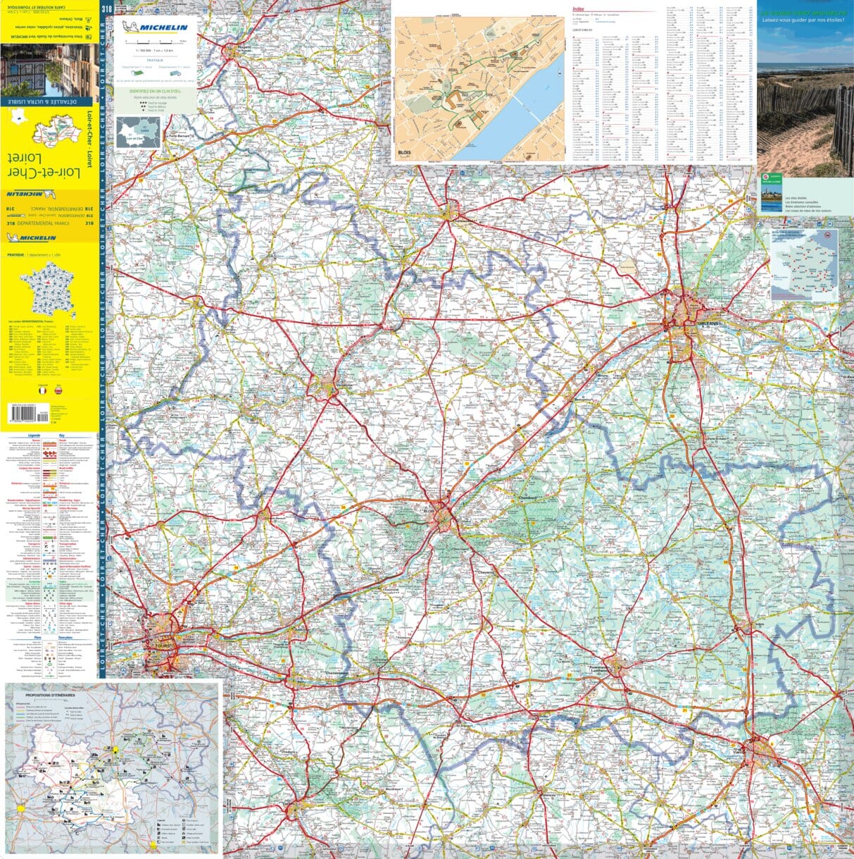
The IGN Blue Series No. 1919 hiking map covers the St-Calais, Droué area.
This highly accurate topographic mapping shows every detail on the ground:
- Transport routes down to the smallest paths.
- Buildings, including individual sheds.
- Woodland, isolated trees, rivers and springs.
Contour lines show the terrain.
Municipalities covered: Beauchêne, Sargé-sur-Braye, Savigny-sur-Braye, Rahart, Saint-Marc-du-Cor, Choue, Conflans-sur-Anille, Rahay, Bouffry, Vibraye, La Chapelle-Vicomtesse, Mondoubleau, Valennes, Boursay, Chauvigny-du-Parc naturel régional du Perche, Berfay, Danzé, Marolles-lès-Saint-Calais.
Places to discover: Vibraye Forest, Montmarin, les Radrets, Castle, Ancienne Commanderie des Templiers.