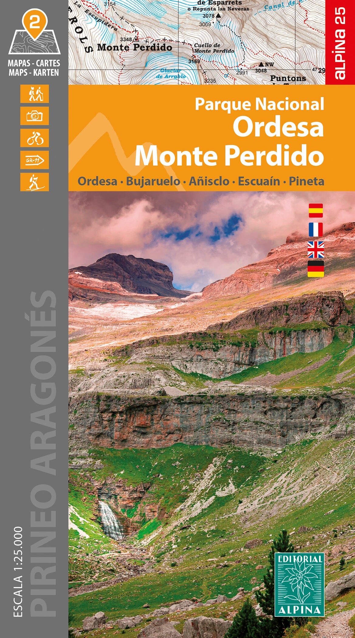
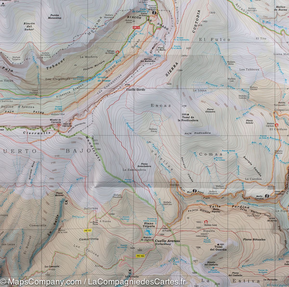
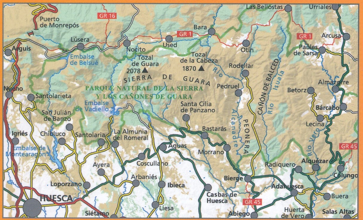
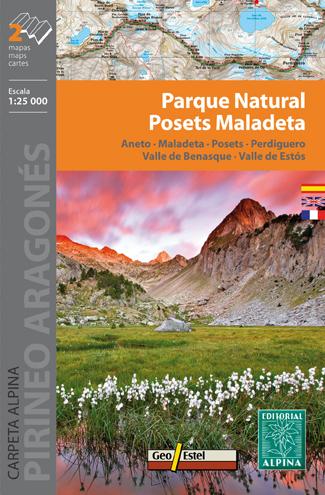
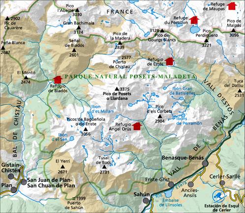
Hiking map - Porta del Cel | Alpina

Price
Regular price $1800
Regular price Sale price $1800
/
  • Ships within 24 business hours from our warehouse in France
  • Free returns (*)
  • Real-time stock levels
  • Cartovia Guarantee – Delivery issue?
    We resend immediately upon receiving a simple photo.
  • Low stock - 2 items left
  • Backordered, shipping soon
Tax included.

Frequently bought together:

La Porta del Cel is a high mountain circuit in the heart of Pallars Sobirà, connecting four shelters: Campan, Pinet, Vallferrera and Camping de Graus, in addition to crossing the city of Tavascan and take a ride at a time at a time to through the Natural Park of Alt Pirineu and through the

Regional Natural Park of the Ariege Pyrenees.
The difference in accumulated height (mounted and descent) is greater than 11,000 m and the distance varies from 65 km, so it must be transported the minimum necessary for an excursion in high mountains.

  • Topographic map at 1:25 000
  • Step Refuge
  • technical sheet
  • Altitude profile
  • Practical Tips


ISBN/EAN : 9788480908399
Publication date: 2020
Scale: 1/25,000 (1cm=250m)
Printed sides: front
Folded dimensions: 21 x 12.5cm
Language(s): Castilian, Catalan
Weight: 170 g