North Carolina Easy-to-Read Map | Rand McNally
- Free returns (*)
- Real-time stock levels
-
Cartovia Guarantee – Delivery issue?
We resend immediately upon receiving a simple photo.
📦 Hard-to-find maps - worldwide shipping
📦 Hard-to-find maps & travel guides - worldwide shipping, 30-day returns
🌞 Summer travel: 20,000+ maps in stock
🌞 Plan your summer: 20,000+ maps and travel guides in stock Details →
✅ Latest editions guaranteed — since 2010
✅ Latest editions guaranteed - 180,000+ travellers equipped since 2010
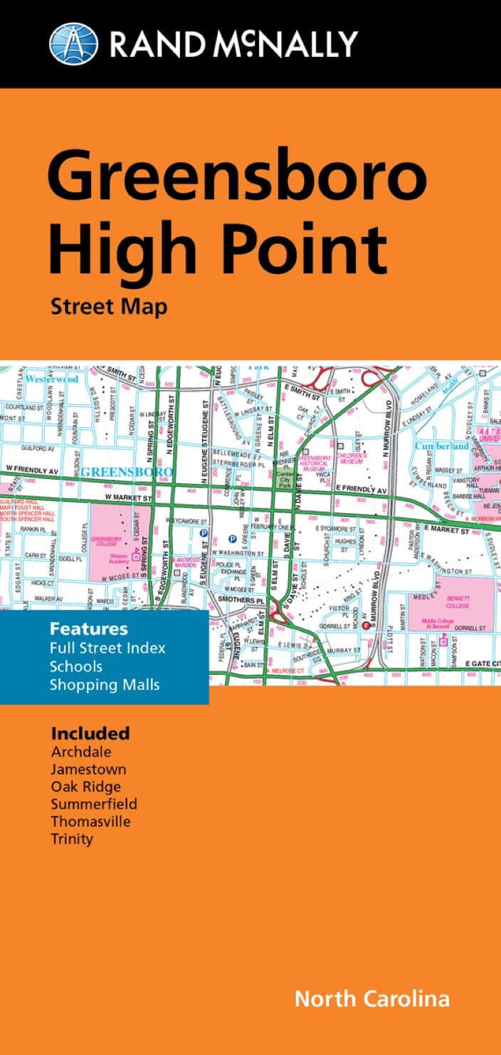
North Carolina State Map. Includes additional detailed maps of Ashville, Charlotte and surrounding areas, downtown Charlotte, Fayeteville, Hichory: the Triad: Winston-Salem, Greensboro, High Point: the Triangle: Raleigh, Durham, Chapel Hill, Wilmington: with distance chart, driving distances and times map, Great Smoky Mountains National Park, city and county index.
ISBN/EAN
: 9780528029103
Publication date: 2025
Folded dimensions: 9.45 inches x 4.33 inches (24 x 10 cm)
Unfolded dimensions: 27.95 inches x 40.16 inches (70 x 102 cm)
Language(s): English
Weight:
3.0 oz
The exclusive newsletter for travel and discovery enthusiasts!