Kootenay Rockies Back Road Atlas | Canadian Cartographics Corporation
- Free returns (*)
- Real-time stock levels
-
Cartovia Guarantee – Delivery issue?
We resend immediately upon receiving a simple photo.
📦 Hard-to-find maps - worldwide shipping
📦 Hard-to-find maps & travel guides - worldwide shipping, 30-day returns
🌞 Summer travel: 20,000+ maps in stock
🌞 Plan your summer: 20,000+ maps and travel guides in stock Details →
✅ Latest editions guaranteed — since 2010
✅ Latest editions guaranteed - 180,000+ travellers equipped since 2010
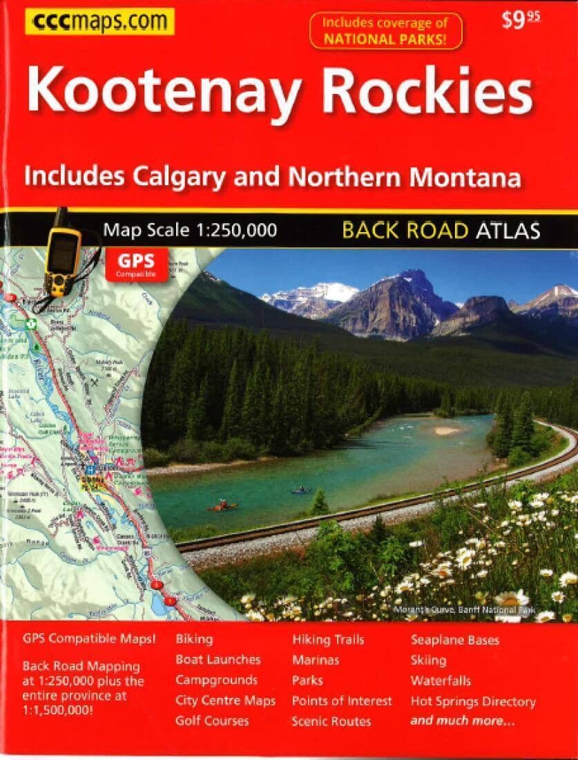
This comprehensive, GPS-compatible road atlas is highly detailed, easy to read and designed for travel throughout the region.
It contains detailed maps of Kootenay, the Rockies, Banff, Airdrie, Canmore, Jasper, Revelstoke, Nelson, Lake Louise, Calgary, northern Montana and more.
Features include boat launches, campsites, golf courses, marinas, parks, points of interest, seaplane bases, scenic roads, skiing, hiking trails, downtown maps, cycling, waterfalls, a hot-springs directory, national park coverage and much more.
Map scales: back roads at 1:250,000 and the whole province at 1:1,500,000.
ISBN/EAN : 9781554861262
Publication date: 2016
Unfolded dimensions: 11.02 inches x 8.27 inches (28 x 21 cm)
Language(s): English
Weight:
290 g
The exclusive newsletter for travel and discovery enthusiasts!