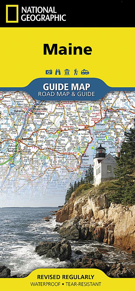
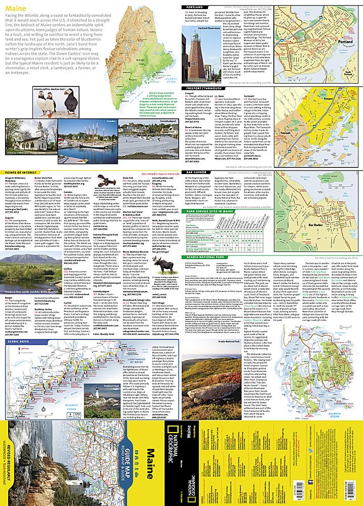
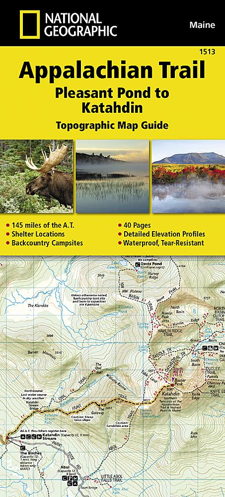
Jaw-dropping beauty—and yes, you’re likely to spot a moose! This beautiful, waterproof, double-sided map showcases the entire Baxter State Park with detailed coverage of 220 miles of hiking trails, lakes, canoe routes, and camping options.
Whether you're hiking the iconic Knife Edge—one of the most challenging trails in the Northeast—or opting for a gentler path or canoe ride on a quiet lake, this map is your go-to guide for discovering the wild heart of northern Maine.
Map Features:
-
Campgrounds and backcountry campsites
-
Appalachian Trail
-
Canoe rental locations
-
Mileage between points on hiking trails
-
UTM/GIS grid
-
Trail index
-
Entire park on one side (no flipping needed!)
-
Reverse side: detailed Katahdin area with helpful content