Carte murale de l'Angleterre et du Pays de Galles, Executive, laminée | National Geographic carte murale roulée (en tube) National Geographic

England & Wales Wall Map, Executive, Laminated | National Geographic

Price
Regular price $2495
Regular price Sale price $2495
/
  • Shipped within 24 to 48h from our warehouse in the USA
  • Free returns (*)
  • Real-time stock levels
  • Cartovia Guarantee – Delivery issue?
    We resend immediately upon receiving a simple photo.
  • In stock, ready to ship
  • Backordered, shipping soon
Tax included.

Frequently bought together:

This laminated Executive-style wall map of England and Wales, published by National Geographic, combines an antique-toned colour palette with shaded relief and a subtle background grid.

It shows place names, including Welsh names, transport networks and administrative divisions. National parks, historic sites, roads, motorways, airports, canals, pipelines, passenger railways and high-speed rail lines are also represented.

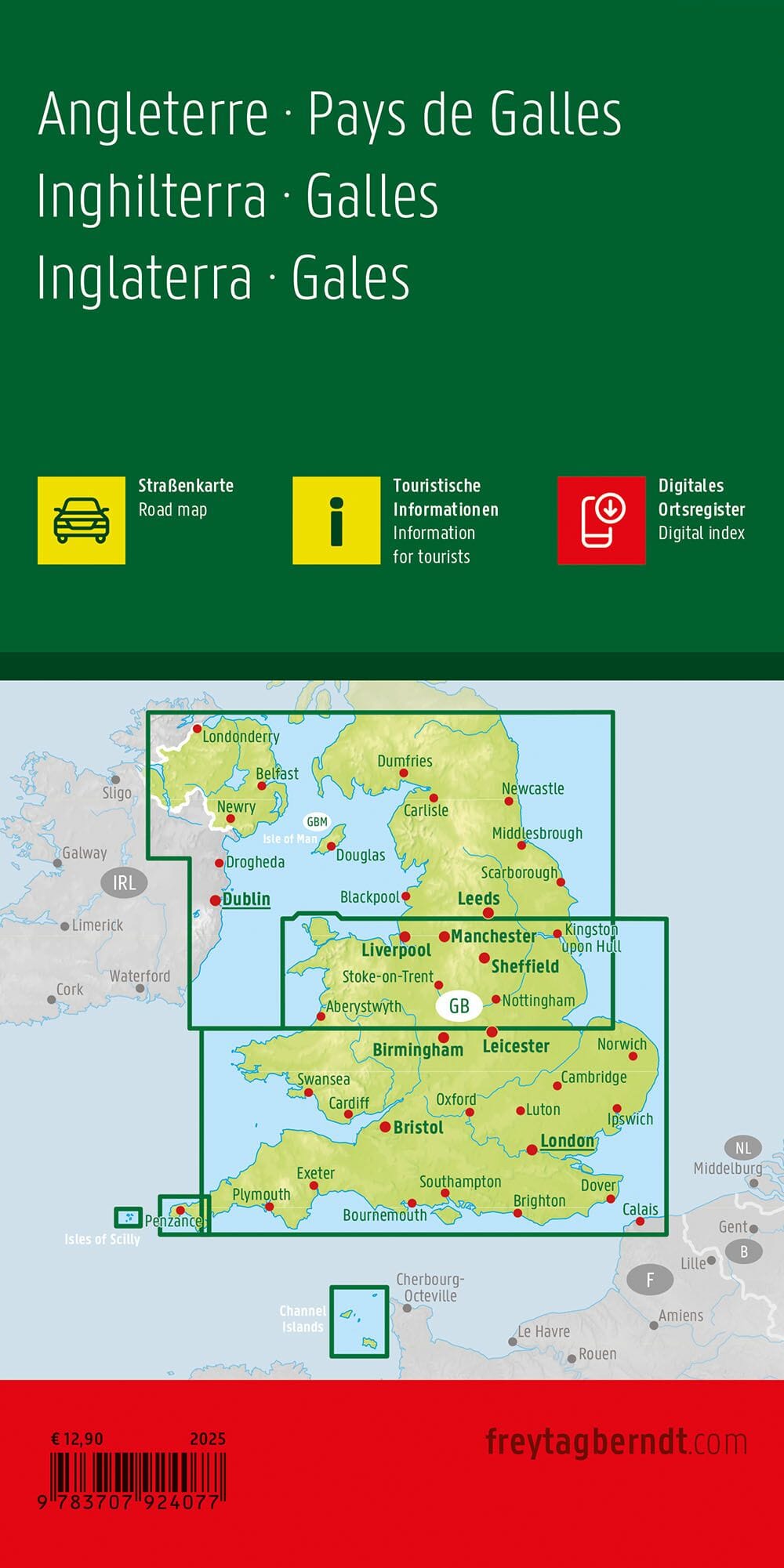
Coverage also includes parts of Scotland, Northern Ireland, Ireland and France.


ISBN/EAN : 9781597754910
Publication date: 2012
Unfolded dimensions: 34.45 inches x 28.35 inches (87.5 x 72 cm)
Language(s): English
Weight: 190 g