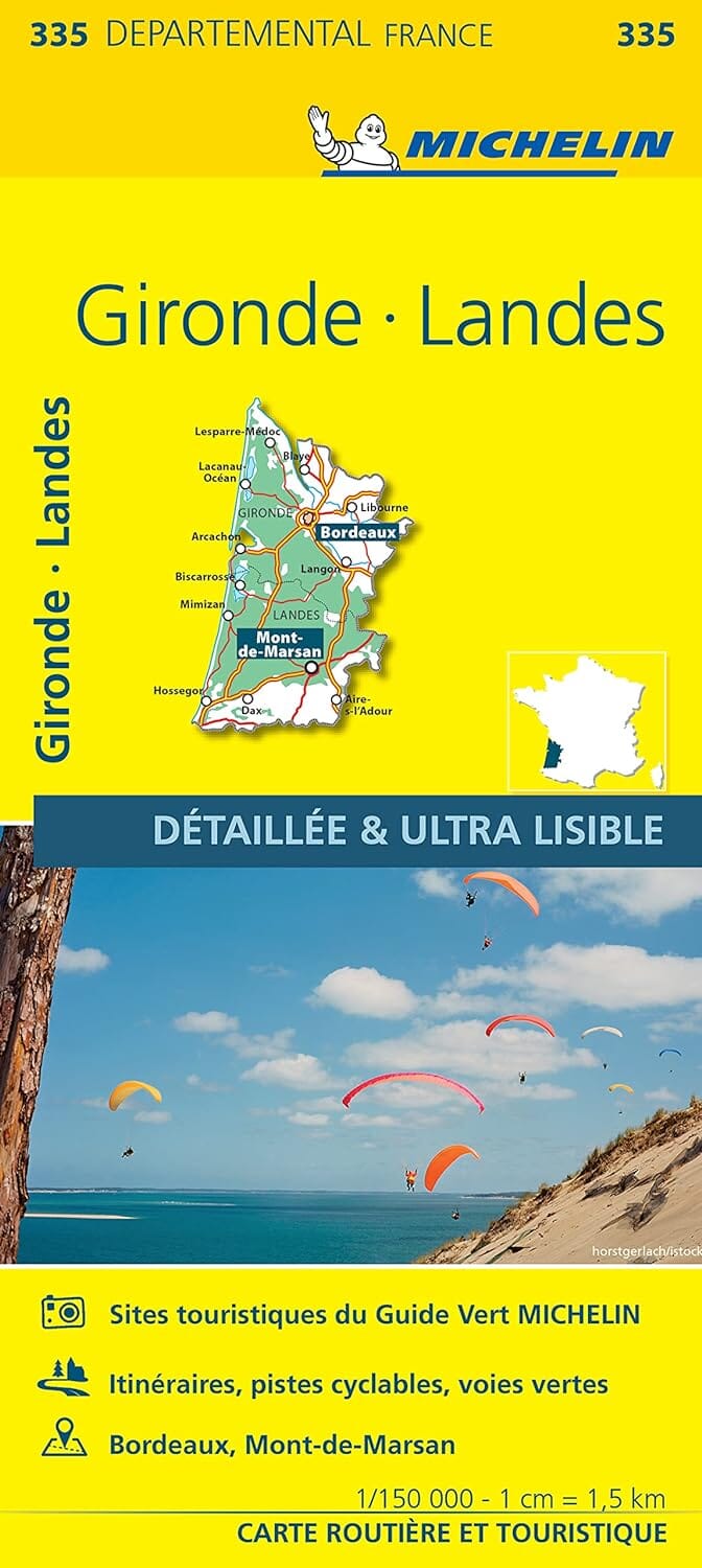
TOP 25 topographic map No. 1343OT of Capbreton, Vieux Boucau, and Soustons published by IGN.
Hiking map with contour lines spaced 10 meters apart and detailed legend (vegetation, rocks, waterways, etc.). Hiking trails indicated.
Scale 1/25,000 (1 cm = 250 m).
Municipalities covered: Capbreton, Orx, Saubrigues, Soorts-Hossegor, Tosse, Bénesse-Maremne, Saint-Jean-de-Marsacq, Angresse, Seignosse, Saubion, Labenne, Josse, Soustons, Saint-Vincent-de-Tyrosse, Saint-Geours-de-Maremne, Moliets-et-Maa, Léon, Azur, Vieux-Boucau-les-Bains, Messanges
Places to discover: Hardy Pond, Soustons Pond, Orx Marsh, White Lake, Hossegor Lake, Black Pond, Soustons Municipal Forest, Aygueblue, Atlantic Park