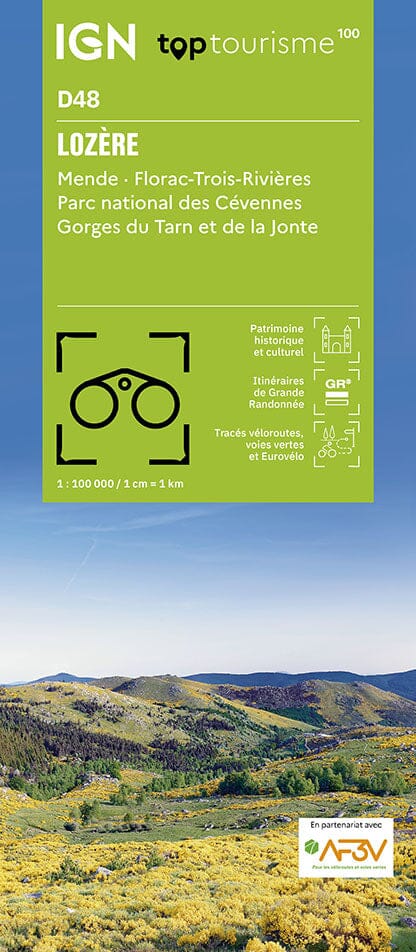
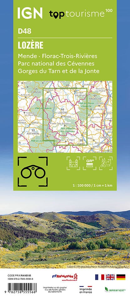
TOP 25 topographic map of the Tarn and Jonte Gorges region, the Méjan Causse and which covers part of the Cévennes National Park.
Hiking map No. 2640OT of the Gorges du Tarn and de la Jonte and the Causse Méjan published by IGN with contour lines spaced 10 meters apart and detailed legend (vegetation, rocks, watercourses, etc.). Indication of hiking trails.
Scale 1/25,000 (1 cm = 250 m).
Municipalities covered : Gorges of the Tarn and the Jonte, Causse Mejean, Cévennes National Park, Rousses, Mas-Saint-Chély, Le Rozier, Laval-du-Tarn, Hures-la-Parade, Veyreau, Saint-Pierre-des-Tripiers, Massegros Causses Gorges, Fraissinet-de-Fourques, Vebron, Gatuzières
Places to discover : Grands Causses Regional Natural Park, Nîmes le Vieux, Pas de Souci, Mont Buisson, Capluc Rock, Pougnadoires Cirque, Gargo, St-Chély Cirque, the Straits, Hourtous Rock, Baumes Cirque, Chanet Plain, Mont Servy, Pas du Loup, Causse Noir Corniche, Rocheblave, La Caze, St-Gervais, St-Jean de Balmes Chapel, Dargilan Cave, Charbonnières Castle, Blanquefort Castle, Aven Armand, Vulture House, St-Michel Hermitage, Terraces Belvedere, St-Pierre