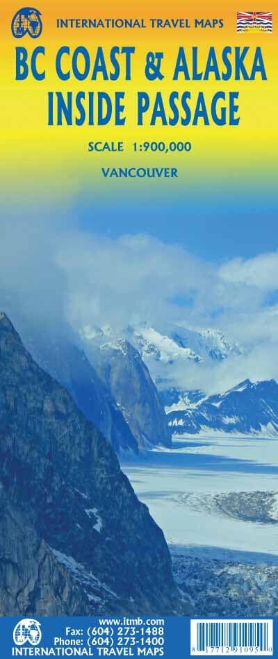
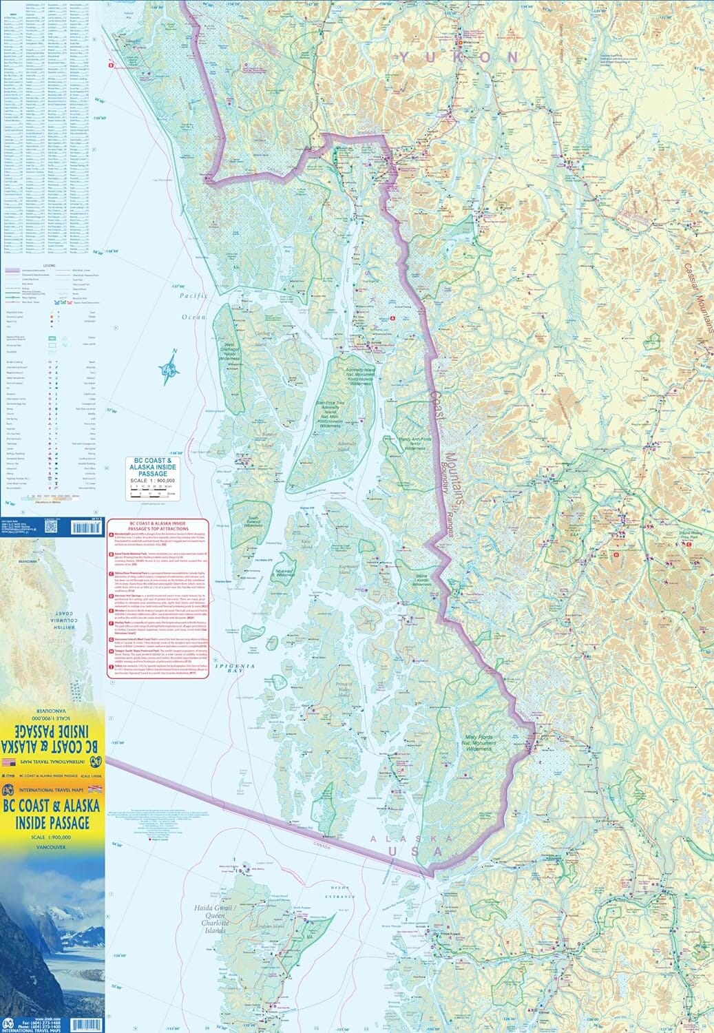
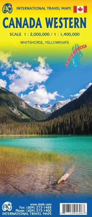
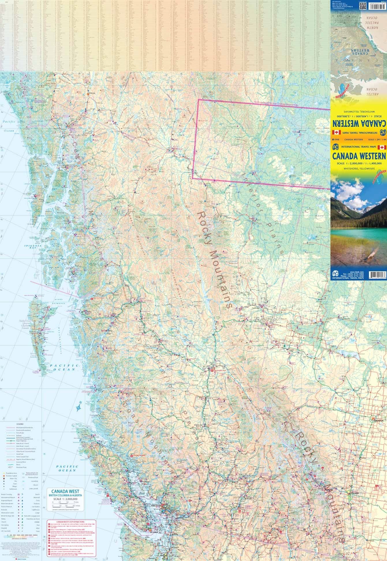
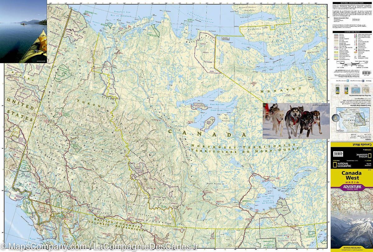
Road map of the Pacific Coast between Seattle and Anchorage (Alaska) published by ITM. Relief mapping, indication of natural reserves and cities index. Distances shown on the map. This detailed map of the Pacific Coast contains, in the ink, the small plans of Seattle, Victoria, Vancouver and Anchorage.
The map is double - sided, with the island of Vancouver and the coast to Prince Rupert to the north (with maps of Seattle, Victoria and Vancouver in inset) on the front, and the coast north to Glacier Bay and an insert map towards Anchorage (with a map of the city in inset) on the back. As the actual routes followed by the many cruise companies vary, their actual navigation routes can not be indicated, but generally follow the coast at a view of the continent or coastal islands, or both. The normal ferry routes followed by BC Ferries and Alaska Ferries in their network of aquatic tracks linking coastal communities are included, and large cruise ships follow the same routes.


