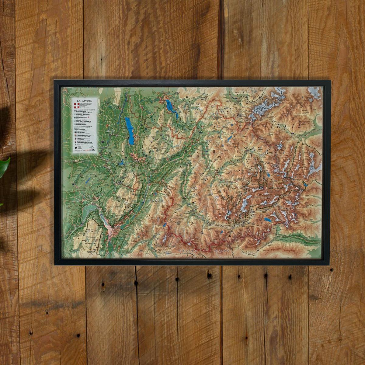
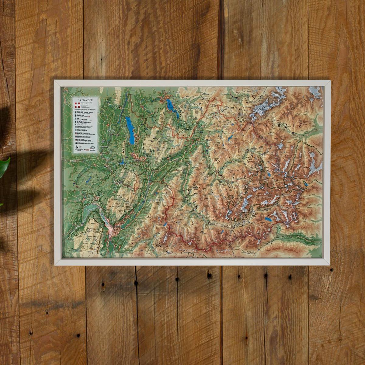
Explore the iconic alpine landscapes with this raised relief wall map of Savoie, offering a detailed 3D representation of mountain ranges, valleys, major passes, glaciers, renowned ski resorts and traditional villages. Its precise relief modeling provides an intuitive understanding of the region’s terrain.
A finishing frame is available as an optional accessory; we highly recommend it for easier hanging and a premium display.
Information shown on the map:
General data:
• Hydrological, natural, hypsometric and administrative information
Touristic & cultural sites:
• Museums
• Most Beautiful Villages of France
• Golf courses
• Beaches
Heritage & alpine activities:
• Legendary monuments and castles
• Famous ski resorts
• Paragliding sites (take-off & landing zones)
Natural sites & outdoor activities:
• Thermal spas
• Waterfalls, gorges and caves
• Glaciers and major peaks
• Alpine massifs
• Long-distance hiking trails (GR)
• Trail routes
Orientation & routes:
• Notable routes
• Mountain refuges
Scale:
1 : 250,000
A perfect map for hikers, skiers, alpine enthusiasts, cartography lovers or anyone wishing to decorate their home with a beautiful representation of Savoie.