3D Raised relief map - Drôme & Ardèche (41 cm x 61 cm) | 3D Map (French)
- Real-time inventory
-
Cartovia Guarantee – Delivery issue?
We resend immediately upon receiving a simple photo.
📦 Hard-to-find maps - worldwide shipping
📦 Hard-to-find maps & travel guides - worldwide shipping, 30-day returns
🌞 Summer travel: 20,000+ maps in stock
🌞 Plan your summer: 20,000+ maps and travel guides in stock Details →
✅ Latest editions guaranteed — since 2010
✅ Latest editions guaranteed - 180,000+ travellers equipped since 2010
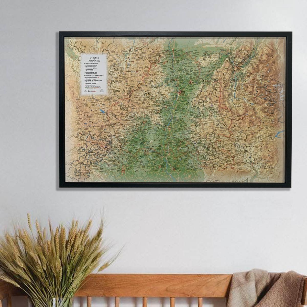
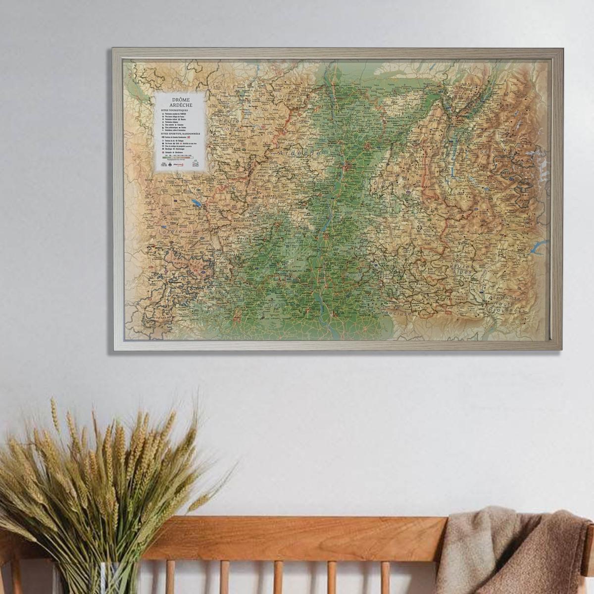
Discover the raised relief wall map of Drôme and Ardèche, offering a detailed representation of landscapes ranging from Rhône valley vineyards to limestone plateaus, deep gorges and Alpine foothills. The map covers a wide area from Roussillon to Orange (north to south) and from Mende and the Margeride Mountains to Chaillol and the Écrins National Park (west to east), providing an exceptional overview of these diverse regions.
A finishing frame is available as an optional accessory; we strongly recommend it for easier hanging and an enhanced presentation.
Hydrological, natural, hypsometric and administrative information
UNESCO World Heritage sites
Most Beautiful Villages of France
Cultural heritage
Museums
Religious monuments
Natural sites
Waterfalls
Prehistoric sites
Caves
Viewpoints and orientation tables
Long-distance hiking trails
Mountain huts and guesthouses
Alpine and Nordic ski areas
Via ferrata routes
Golf courses
Thermal spas
Lakeside and riverside beaches
White-water activity zones
Paragliding sites (www.ffvl.fr)
Take-off and landing areas
Airports and aerodromes
Scale: 1:400,000
Size: 61 × 41 cm
A perfect map for hikers, outdoor enthusiasts, cultural explorers or anyone wishing to display a beautiful and informative map of Drôme and Ardèche.
ISBN / EAN : 9791097206178
Date de publication : 2019
Echelle : 1/400,000 (1cm=4km)
Dimensions déplié(e) : 61cm x 41cm
Langue : French
Poids :
136 g
Le relief aurait pu être plus marqué. L'Ardèche ne ressort pas assez. Le Vercors aurait été encore plus beau !...
Carte vite expédiée et vite reçue en bon état.
on y voit beaucoup plus que la drome et l'ardeche, pour dire ça couvre presque le massif des écrins.
du coup, d'accord avec le commentaire de Patrice B. ci dessous.
une carte uniquement sur la drome et ardèche avec une échelle plus grande correspondrait encore mieux à la descritpion.
Globalement satisfait
Belle carte en relief, l'échelle est un peu petite mais elle donne tout de même une bonne notion de la géographie physique de la région.
tb
The exclusive newsletter for travel and discovery enthusiasts!