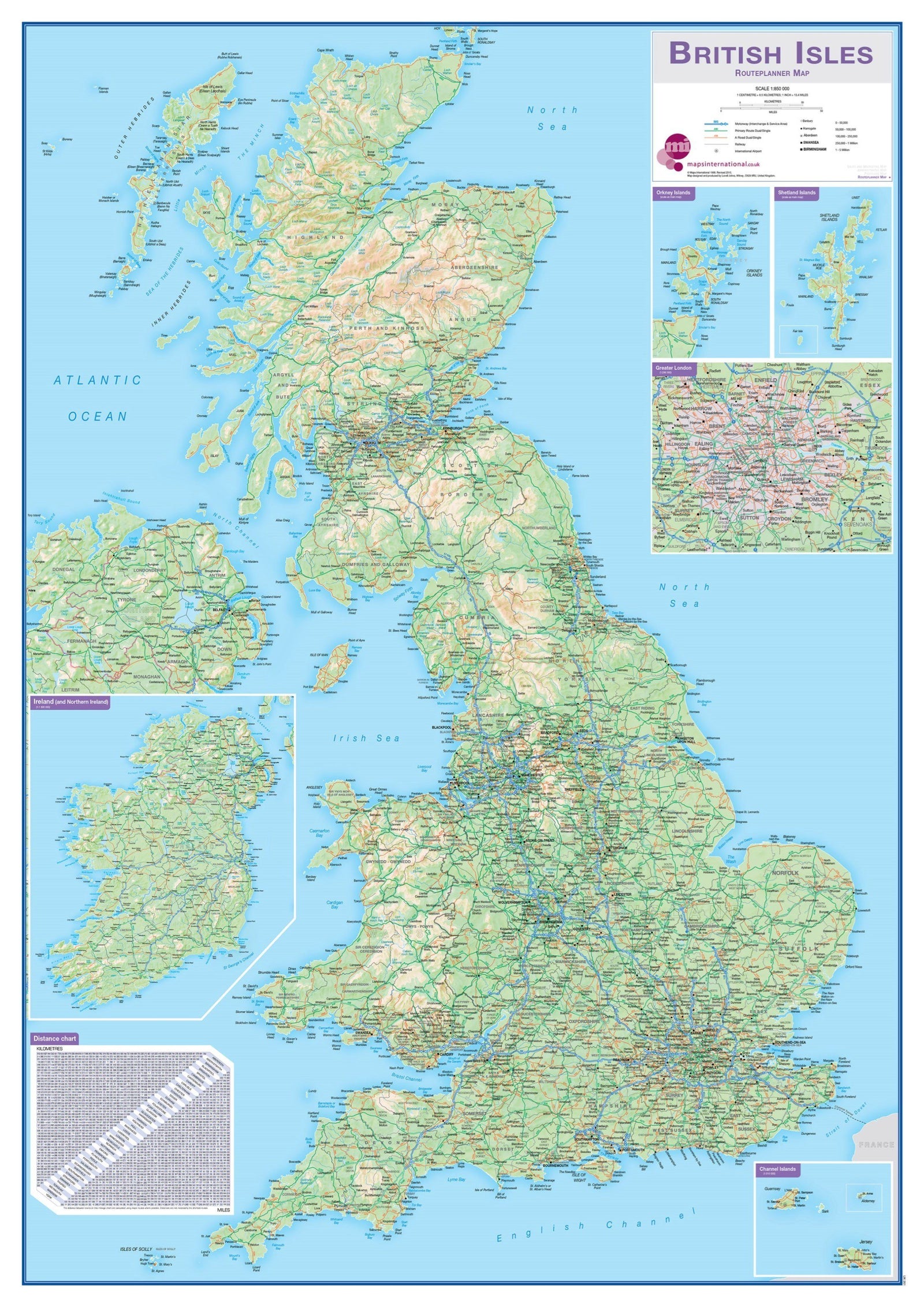
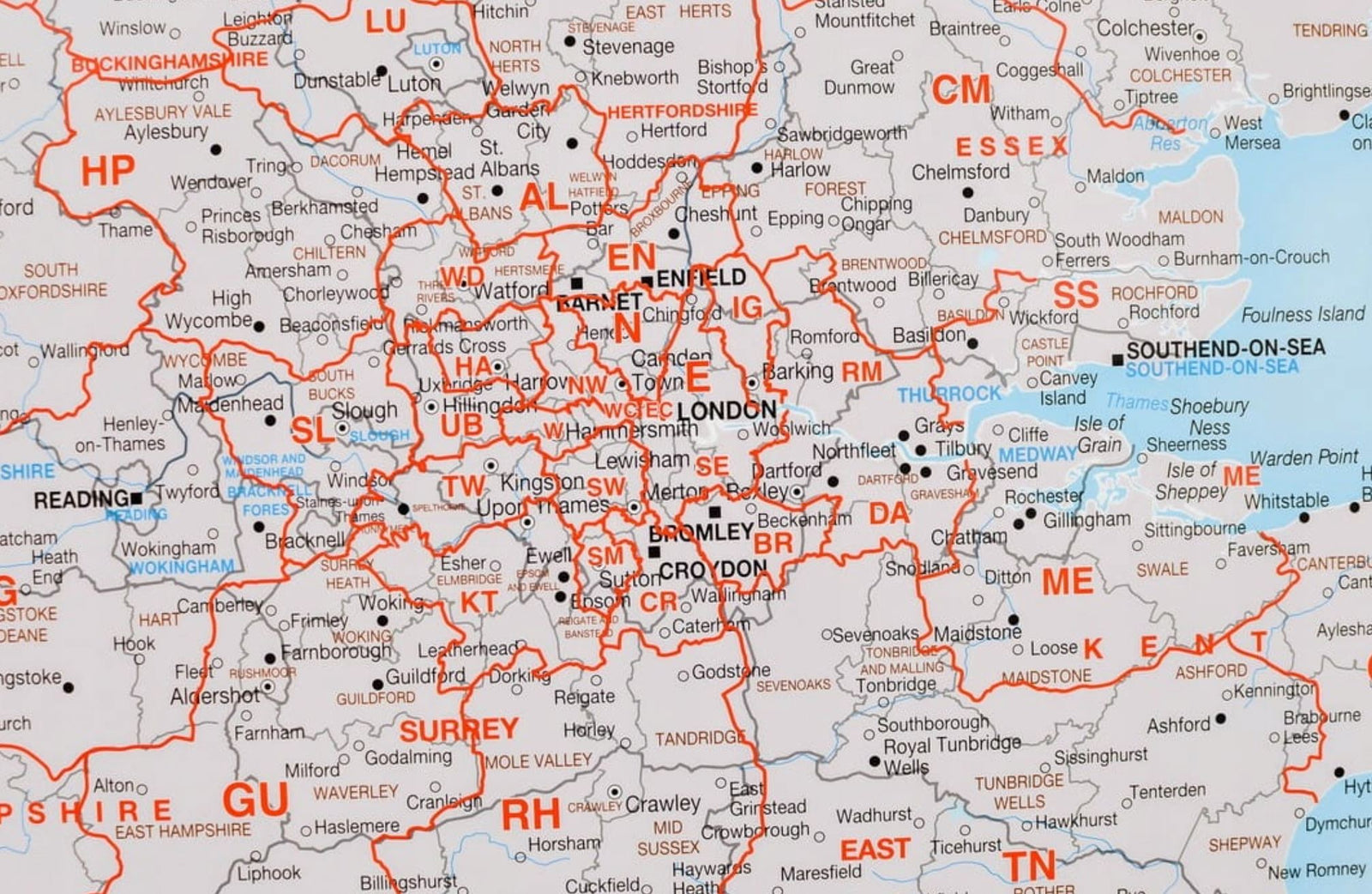
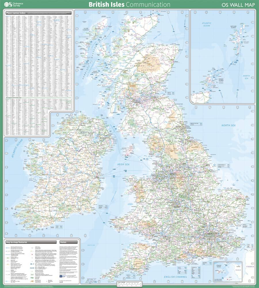
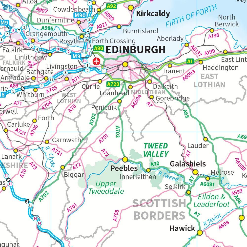
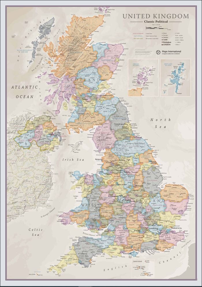
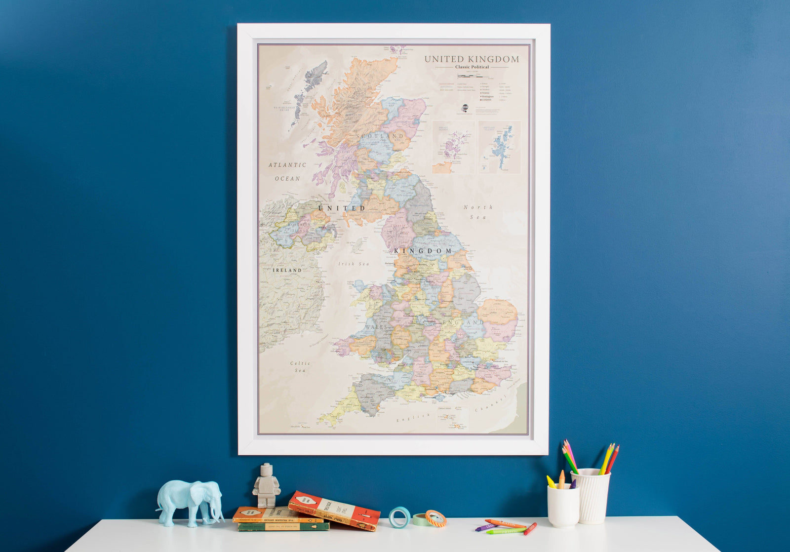
Laminated wall Map (English) - Great Britain Political and Physical (100 x 140 cm) | GeoMetro
Regular price
$3000
Regular price
Sale price
$3000
/
- Shipped within 24 to 48h from our warehouse in France
- Customs duties may apply on import to your country
- Real-time inventory
-
Cartovia Guarantee – Delivery issue?
We resend immediately upon receiving a simple photo.
- Low stock - 2 items left