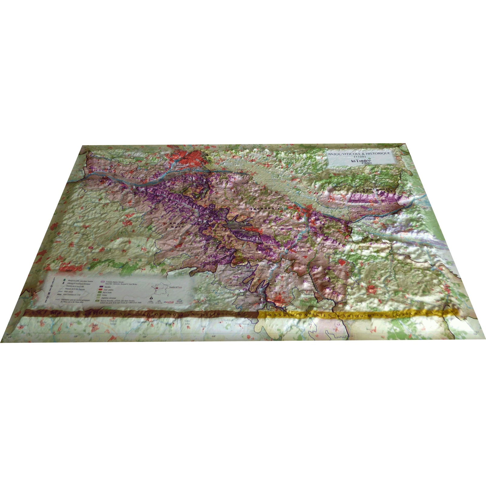
Relief Wall Map – Anjou Wine Region | 3D Map
- Real-time inventory
-
Cartovia Guarantee – Delivery issue?
We resend immediately upon receiving a simple photo.
📦 Hard-to-find maps - worldwide shipping
📦 Hard-to-find maps & travel guides - worldwide shipping, 30-day returns
🌞 Summer travel: 20,000+ maps in stock
🌞 Plan your summer: 20,000+ maps and travel guides in stock Details →
✅ Latest editions guaranteed — since 2010
✅ Latest editions guaranteed - 180,000+ travellers equipped since 2010
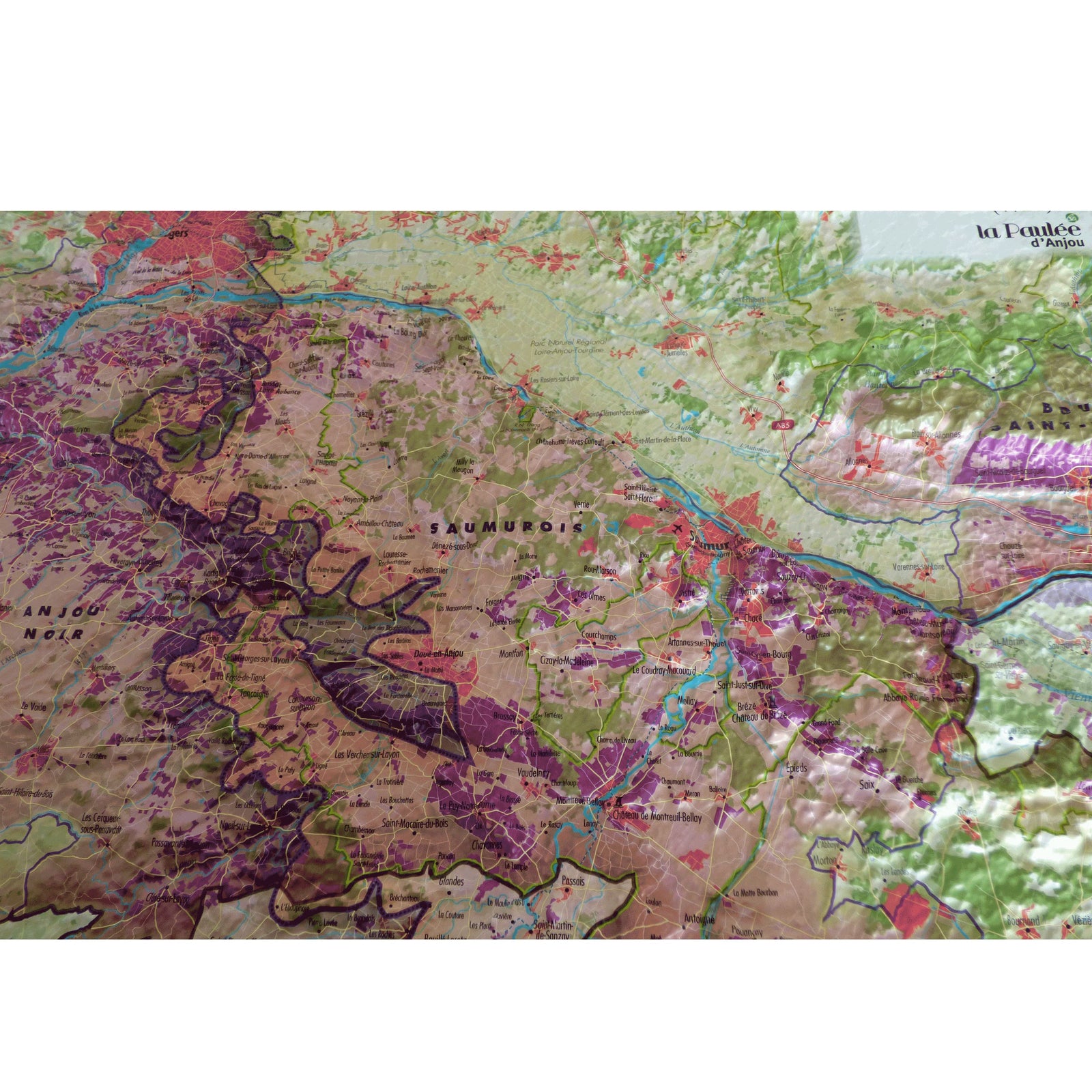
This 3D relief wall map showcases the rich geology, history, and wine culture of the Anjou region in western France. It details the major wine zones (Anjou Noir, Saumurois, Bourgueil & Saint-Nicolas), geological boundaries, nature parks, and major cycling routes such as Loire à Vélo and Vélo Francette.
Ideal for wine enthusiasts, geographers, educators, and beautiful wall display.
🗒️ Map features:
Viticultural & historical data:
Wine-growing limits
Main regions and vineyards
Historical map of Anjou in 1720
Geological & natural data:
Geological separation of Anjou Noir (Armorican Massif) and Anjou Blanc (Paris Basin)
Forests, prairies, sparse vegetation
Nature reserves
Regional Nature Park Loire-Anjou-Touraine (UNESCO zone)
Airports and aerodromes
Tourism data:
Châteaux and heritage sites
Regional park visitor center
Cycling routes: Loire à Vélo, Vélo Francette
📐 Scales:
Planimetric: 1:175,000
Altimetric: 1:8,000,000
📏 Size: 41 x 61 cm
🖼️ Optional frame available for easier hanging and aesthetic enhancement.
ISBN / EAN : 9791097206482
Date de publication : 2023
Echelle : 1/220,000 (1cm=2.2km)
Dimensions déplié(e) : 41cm x 61cm
Langue : French
Poids :
136 g
The exclusive newsletter for travel and discovery enthusiasts!