Travel Map - Great Lakes (USA, Canada) | ITM

Price
Regular price $1600
Regular price Sale price $1600
/
  • Shipped within 24 to 48h from our warehouse in France
  • All-inclusive price: customs duties are already paid by Cartovia
  • Free returns (*)
  • Real-time stock levels
  • Cartovia Guarantee – Delivery issue?
    We resend immediately upon receiving a simple photo.
  • In stock, ready to ship
  • Backordered, shipping soon
Tax included.

Frequently bought together:

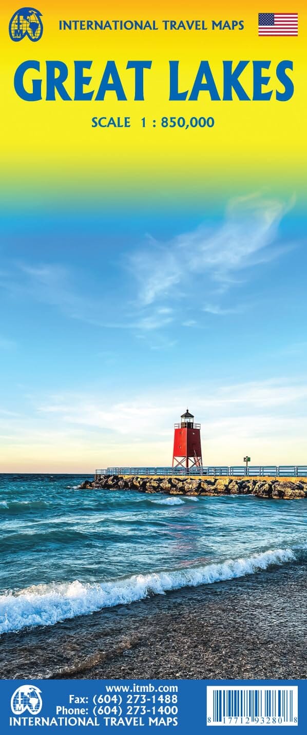
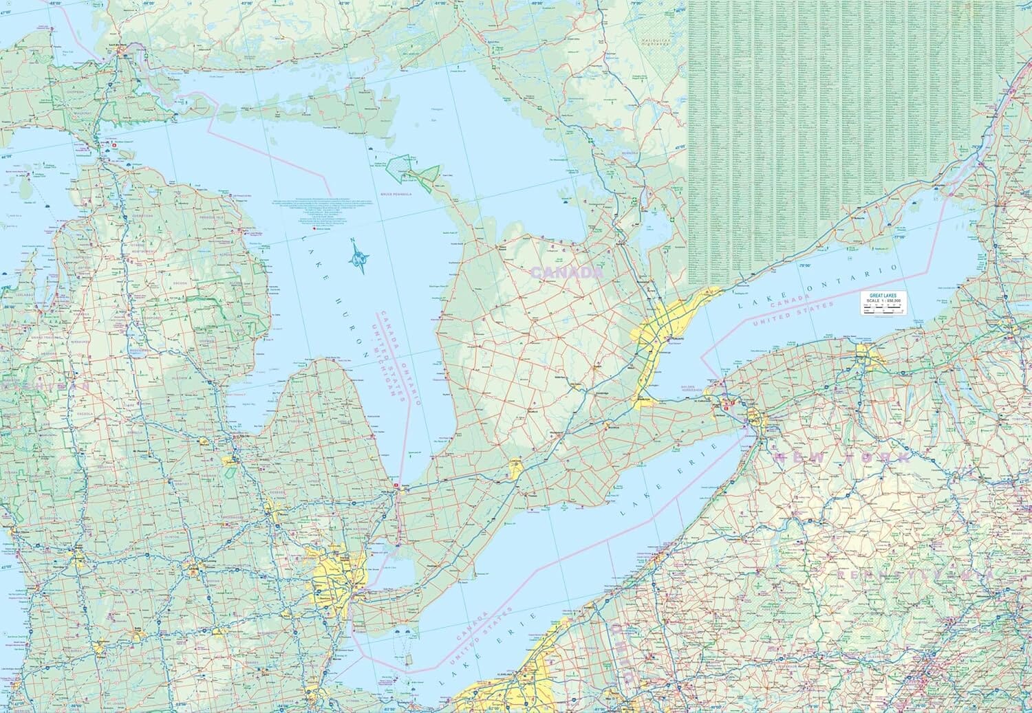
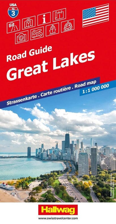
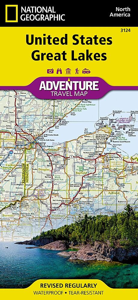
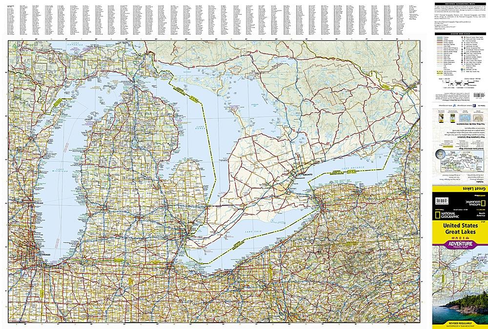
This road map of the Great Lakes region, between the United States and southern Canada, is published by ITM.

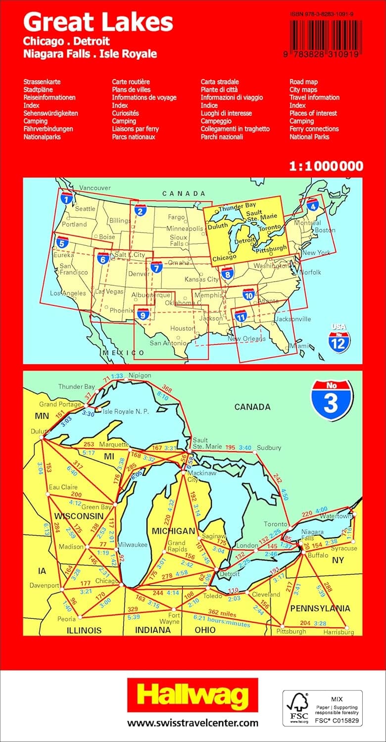
It covers Lakes Ontario, Erie, Huron and Superior and cities such as Ottawa, Toronto, Chicago and Duluth. Coverage extends from Ottawa to Pittsburgh and Columbus, and west to Duluth and Thunder Bay. Relief, main distances and a town index are included.


ISBN/EAN : 9781771293280
Publication date: 2025
Scale: 1/1,000,000 (1cm=10km)
Printed sides: both sides
Folded dimensions: 24.6 x 10.3 x 0.5cm
Unfolded dimensions: 100 x 69cm
Language(s): English
Weight: 50 g