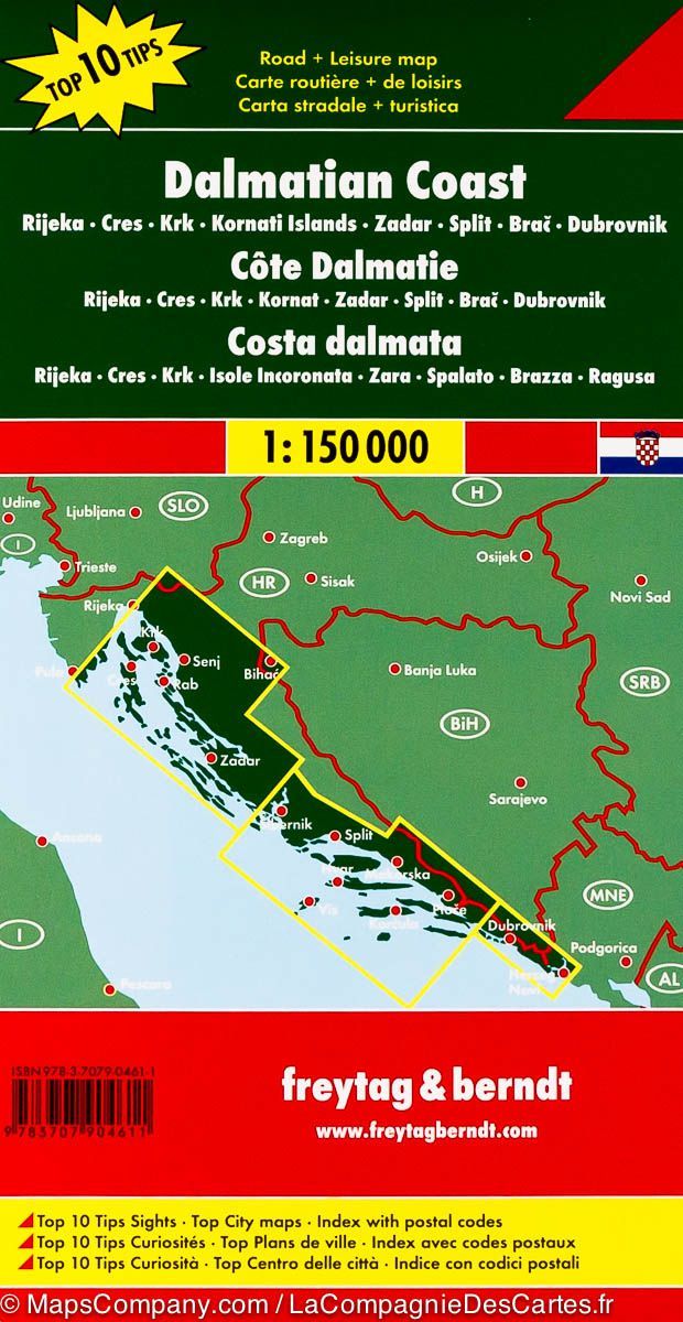
Road map - Central Dalmatia Coast No. 3 (Brac, Hvar, Split) | Freytag & Berndt

Price
Regular price $1600
Regular price Sale price $1600
/
  • Ships within 24 business hours from our warehouse in France
  • Free returns (*)
  • Real-time stock levels
  • Cartovia Guarantee – Delivery issue?
    We resend immediately upon receiving a simple photo.
  • In stock, ready to ship
  • Backordered, shipping soon
Tax included.

Frequently bought together:

Road map of the coast de la Dalmatia (Croatia) published by freytag & amp Berndt. This detailed map of Dalmatia extends from Split (north) to Ploce (south) and includes the region of TRPANJ and the Brac Islands, Hvar, Korkula, Lastovo and Vis.

Split plan, tourist and nautical information (points of interest, outdoor activities, campsites ...), Maritime links to the islands, plus cities index included. Multilingual legend.


ISBN/EAN : 9783850849982
Publication date: 2014
Scale: 1/100,000 (1cm=1km)
Printed sides: front
Folded dimensions: 25.6 x 13 x 0.8cm
Unfolded dimensions: 115 x 72cm
Language(s): multilingual including French
Weight: 111 g