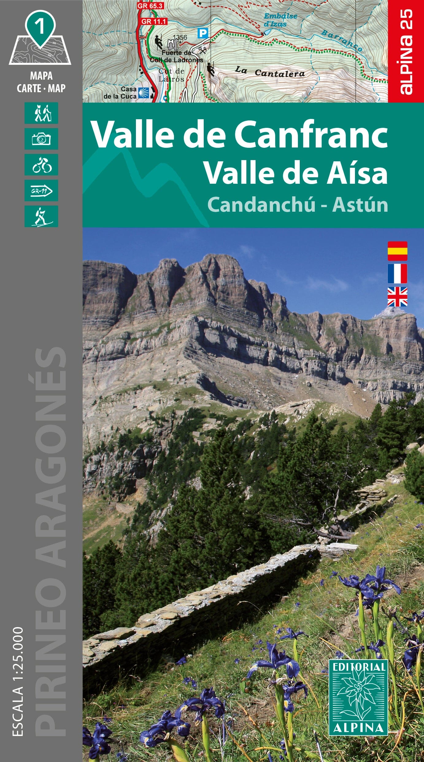
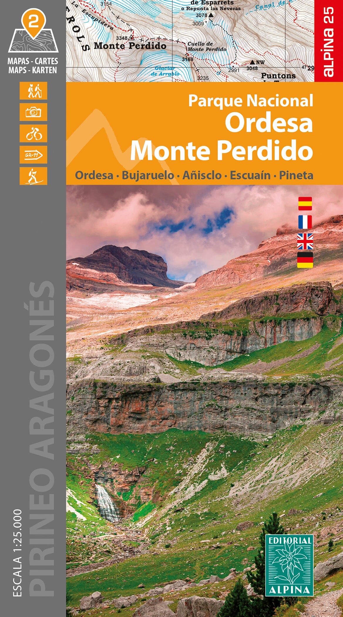
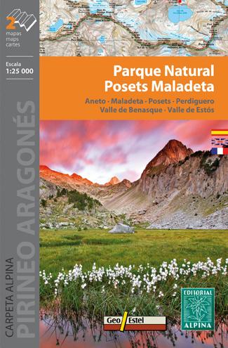
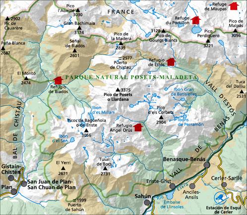
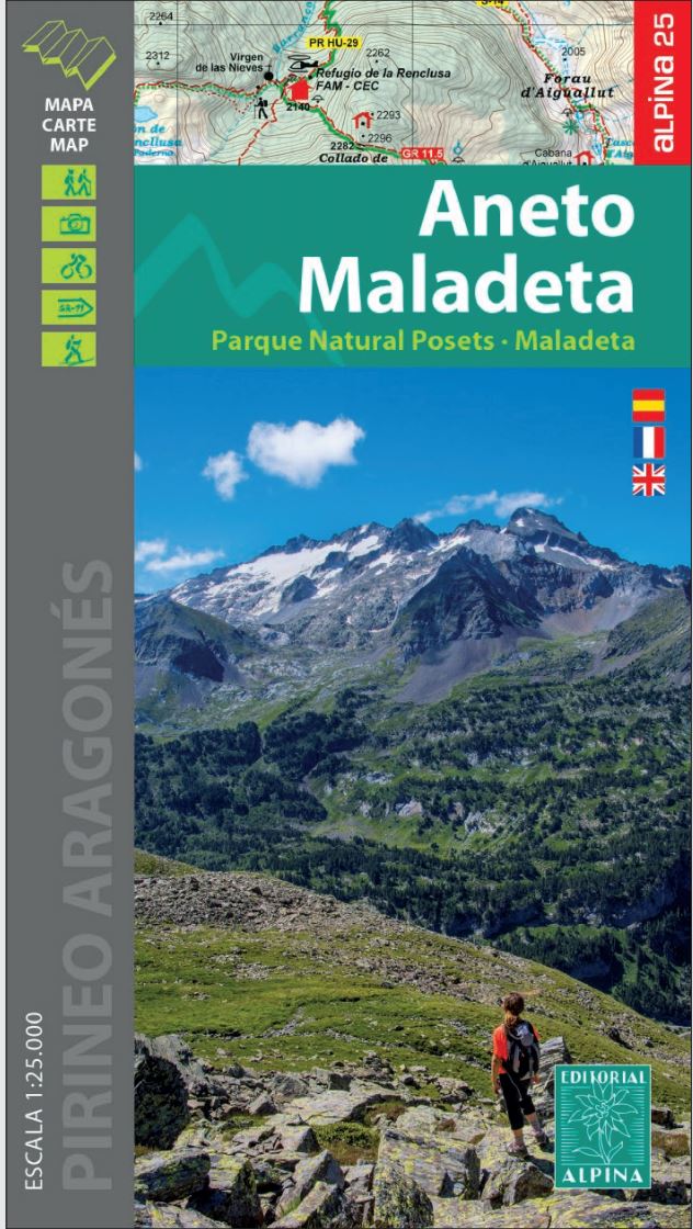
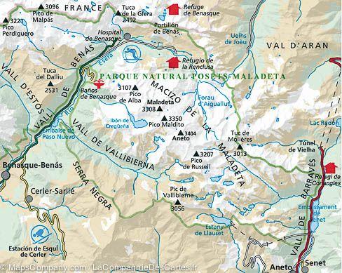
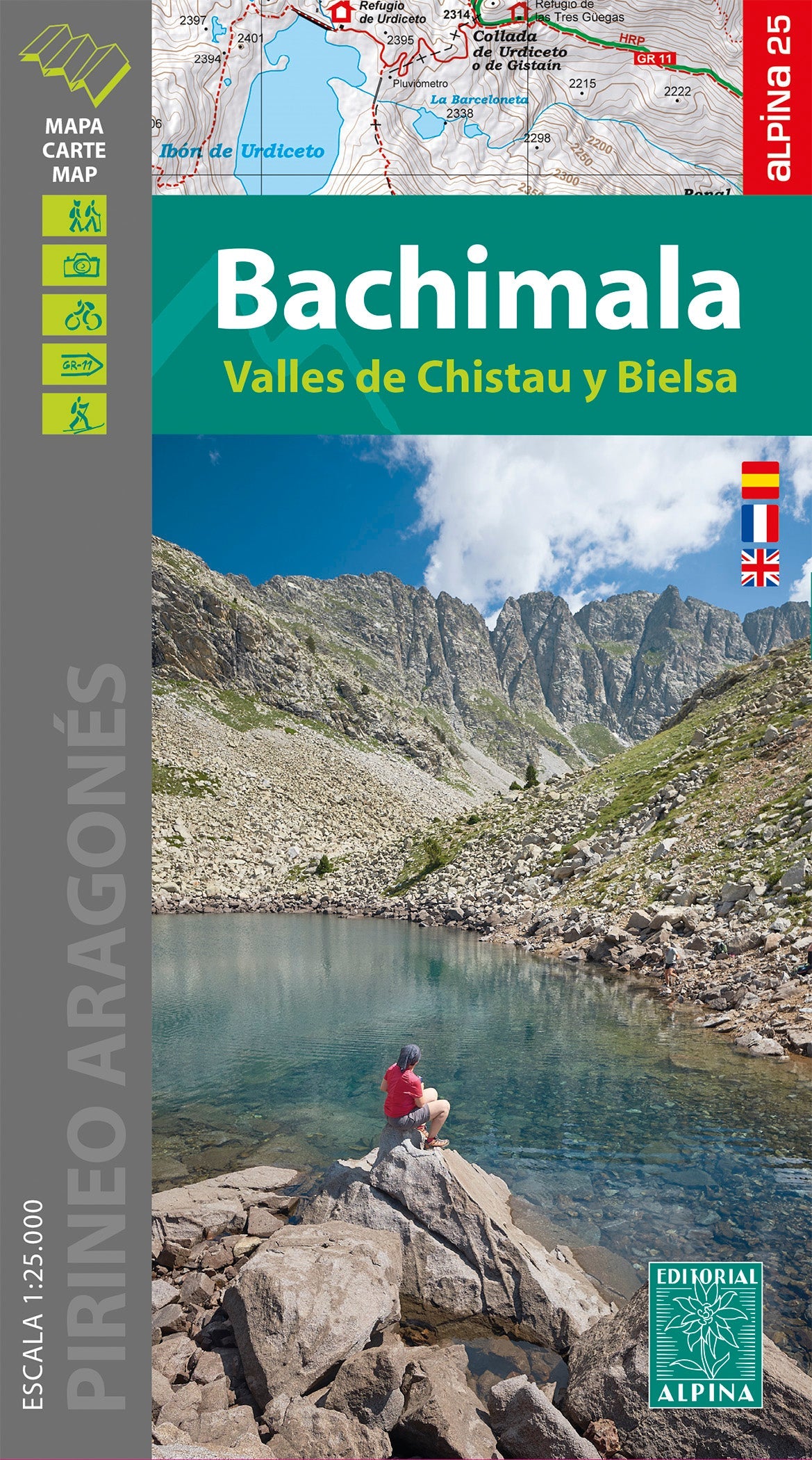
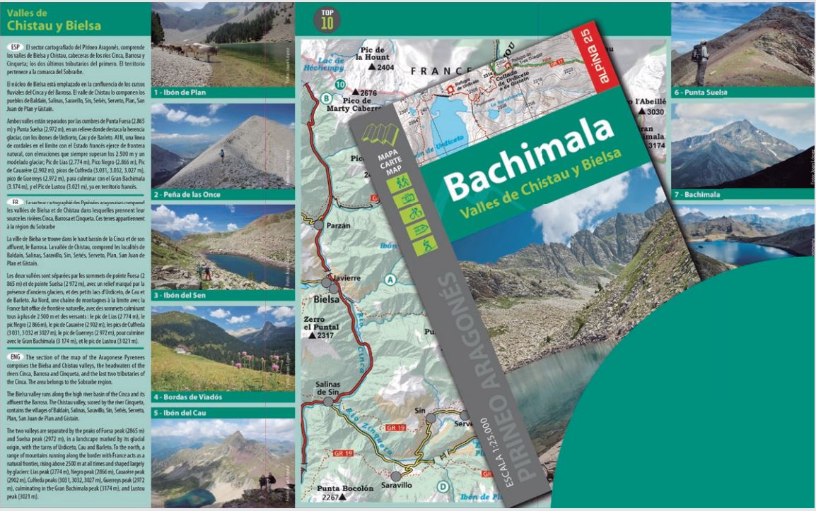
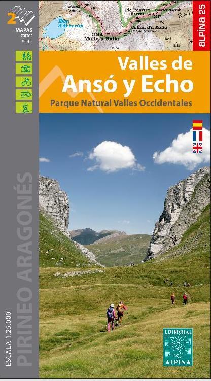
Hiking map of the Canfranc Valleys and Aísa of the Spanish publisher Alpina.
Map sector: Aragonese Pyrenees. Aragon Valley. Regions of Jacetania and Alto Gállego.
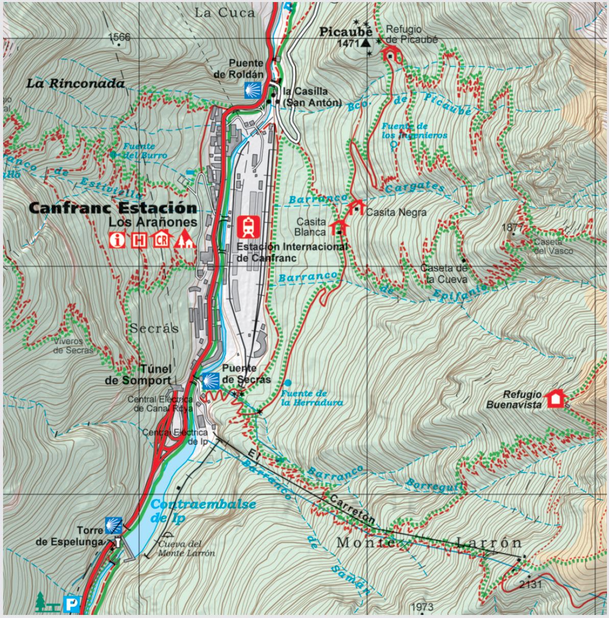
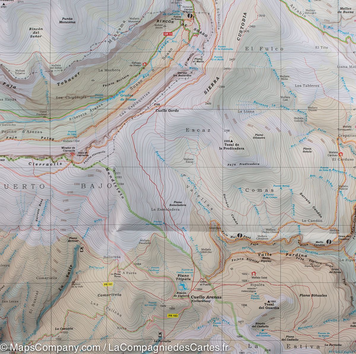
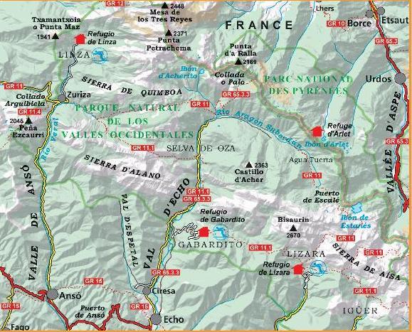
Features: Topographic map at 1:25 000, with information of interest: marked trails (GR, PR), trails, shelters, waterfalls, etc.
• Equidistance contours spaced 10 m
• Contours Masters spaced 50 m
• Relief Shaded
• Compatible with GPS
• Marked itineraries
The map comes with a folder that provides the following information:
• Refuges kept
• Hiking
• Geographical information
• Top14: Points of interest


