Hiking map - Mont Blanc Tour | IGN
- Shipping within 24 working hours from our warehouse in France
- Choose your delivery method and cost at checkout, before confirming your order.
- Free returns (*)
- Real-time inventory
- In stock, ready to ship
Over 19,500 maps 🗺️ and travel guides, hiking maps, posters, globes, and decor in stock!
Explore the world, one map at a time 🗺️
Cartovia is rated Excellent ⭐️ on Trustpilot — 9,100+ reviews from explorers and map lovers worldwide.
Cartovia is rated Excellent ⭐️ on Trustpilot — 9,100+ reviews from explorers and map lovers worldwide
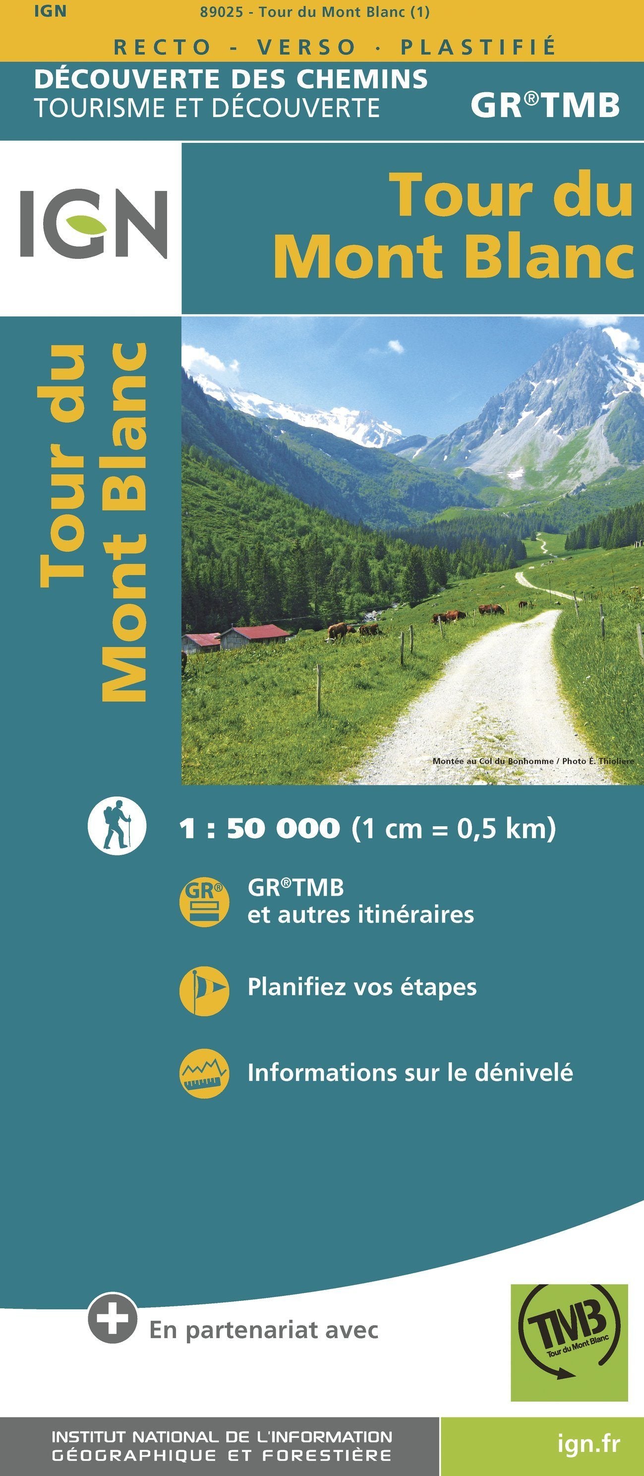
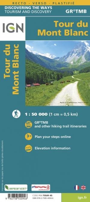
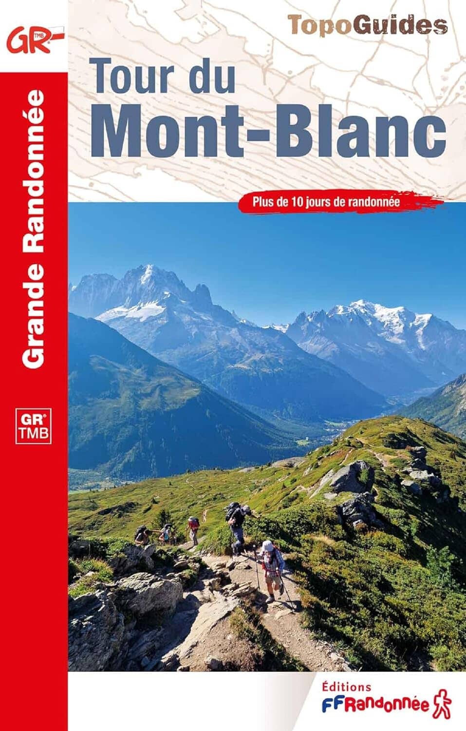
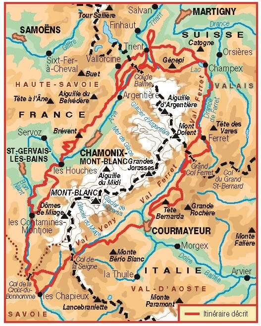
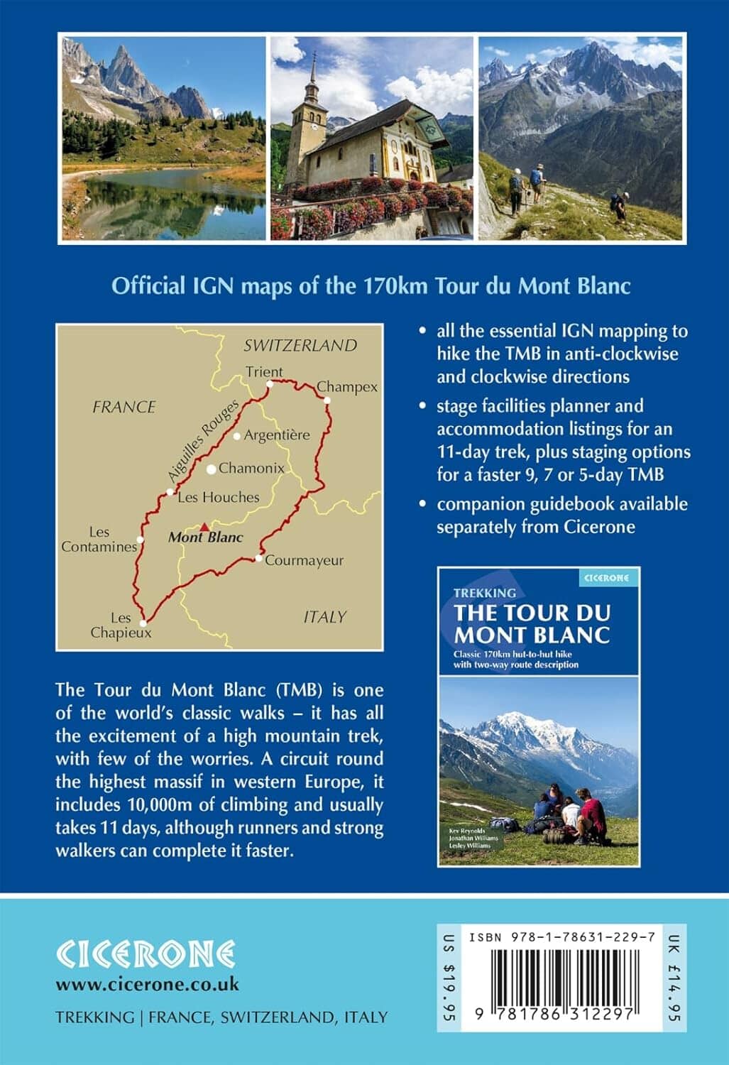
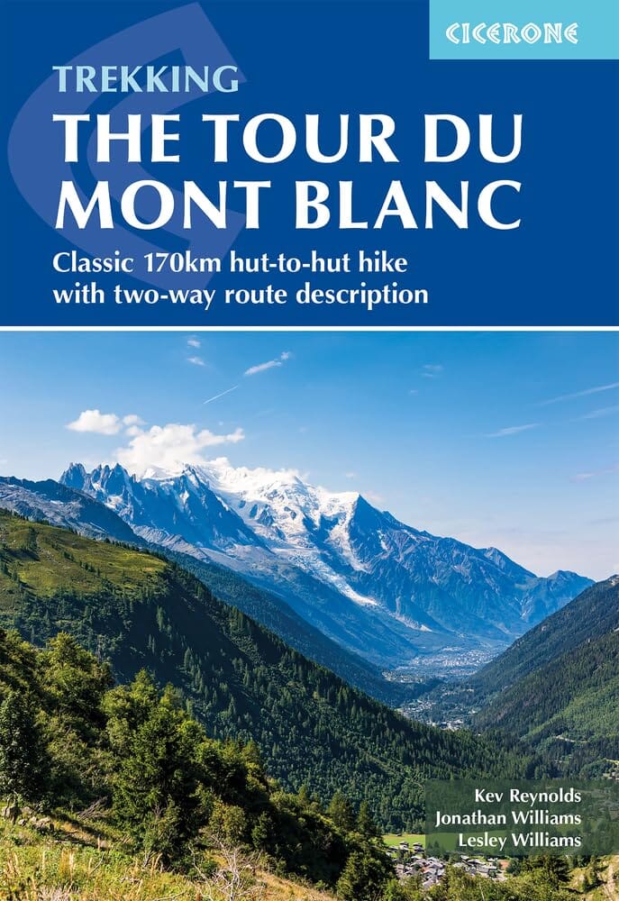
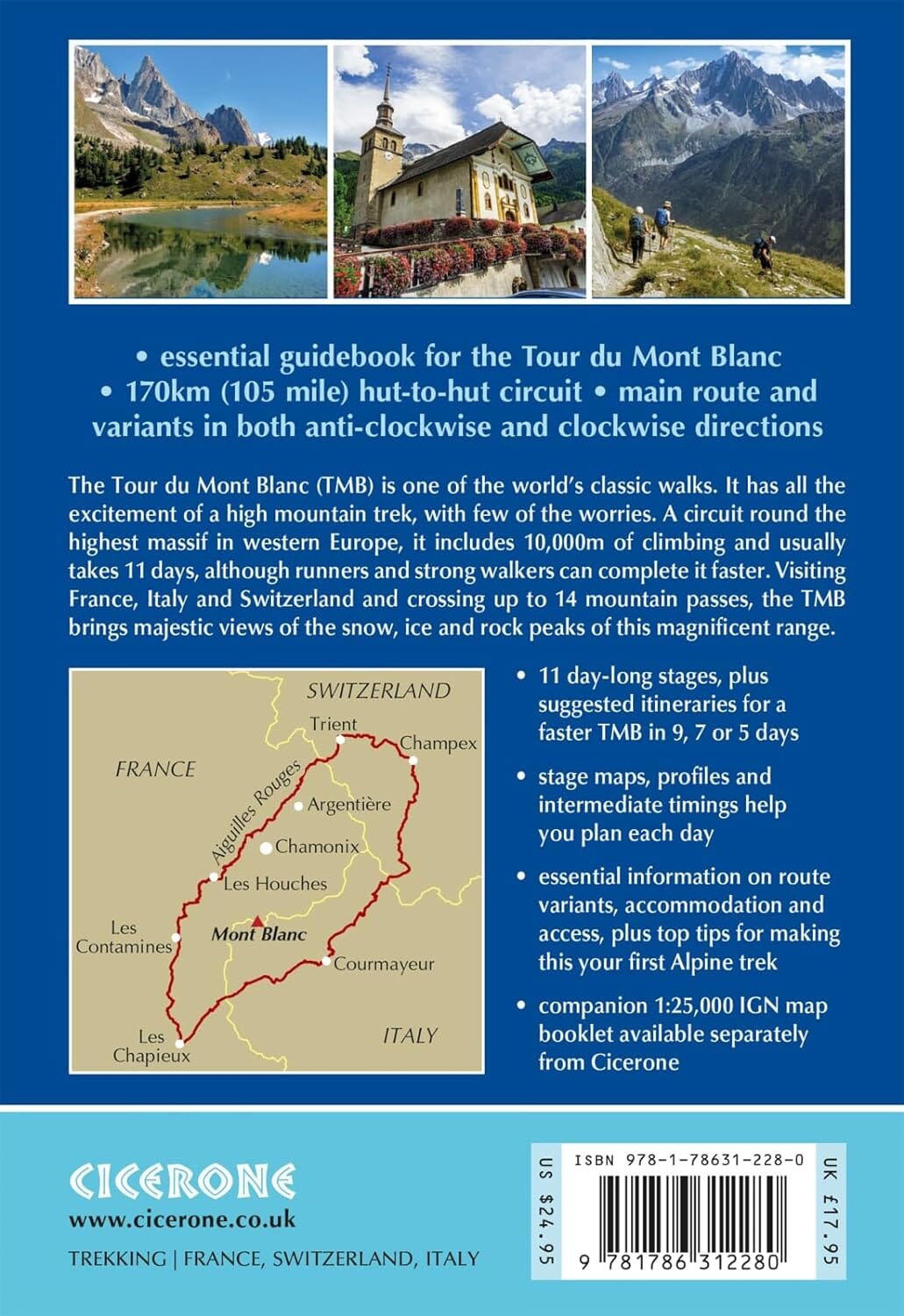
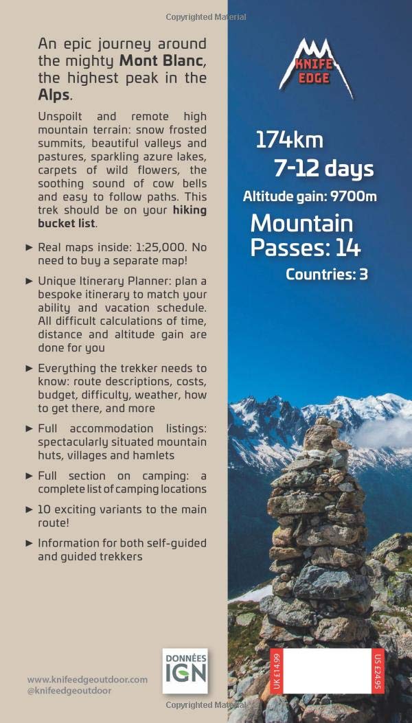
The Mont Blanc tour is a spectacular hike that grows around the Mont Blanc massif and crosses 3 countries (Italy, Switzerland and France ), 170 kilometers of hiking cumulating 10,000 meters of altitude. Span> p>
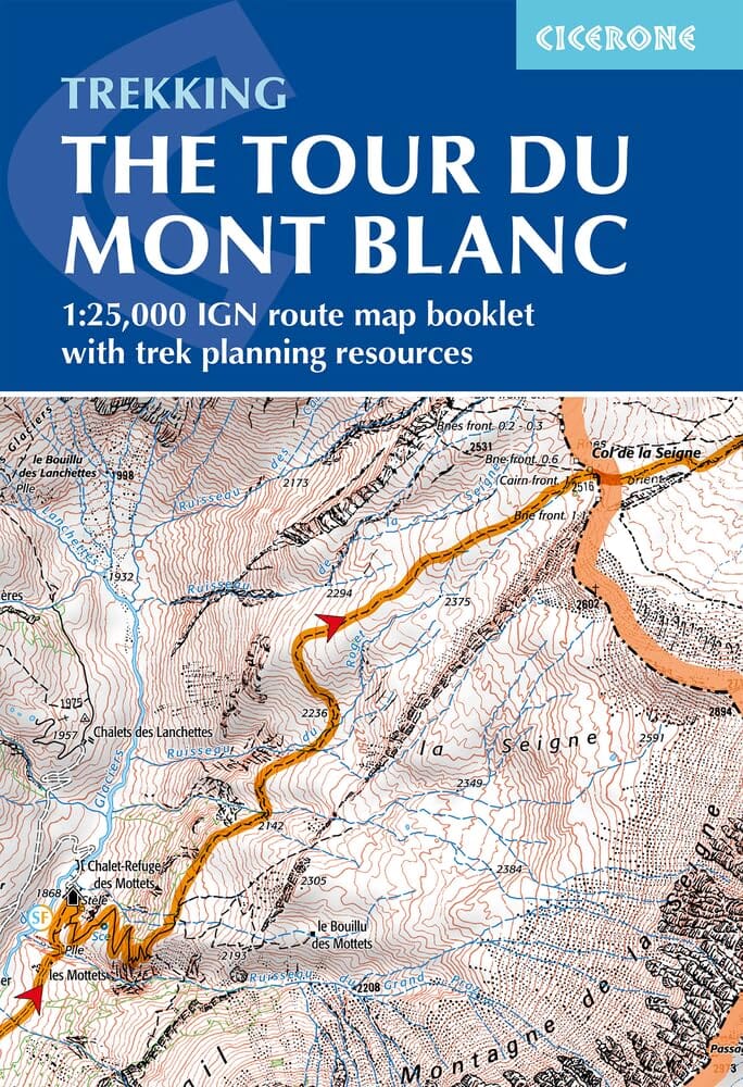
This hiking map is waterproof strong> with level curves and detailed legend (vegetation, rocks, streams etc ...). Indication of hiking trails. P>
A must in preparing the course with: p>
1/50 000 scale (1 cm = 500 m). p>
ISBN/EAN : 9782758540946
Publication date: 2018
Scale: 1/50,000 (1cm=500m)
Printed sides: both sides
Folded dimensions: 23.6 x 11.2 x 0.5cm
Unfolded dimensions: 120 x 96cm
Language(s): French English
Weight:
89 g
Précise et bien détaillée. Un complément incontournable pour effectuer le TMB.
Excellent map, great service
,💪
SUPER / Carte indiquant le dénivelés pratique .
Bon produit , je recilmande
Une carte plastifiée, complète, parfaite pour préparer et accompagner la randonnée du Tour du Mont-Blanc. Peut se substituer au topoguide. Y apparaissent les sentiers de randonnée, variantes, refuges, glaciers ... Au top !
Still not recurved item as of 02 April - so cannot review !
I received what I have ordered quickly. Very good service. Thanks
Très bon produit
Plastifié c’est top
I ordered this map for a group of us doing the tour this upcoming summer. I looked at the two IGN maps (1:25,000) that cover this area, but really just wanted a single map that covers the entire route through all three countries (since the route is marked so well). This map is perfect and fits our needs. While not as detailed as the 1:25,000 level, it has plenty of detail. It's waterproof, the size is perfect (printed on both sides), and it includes the main tour, alternate routes, elevation profiles, mountain & glacier detail, most of the accommodations (huts, chalets, hotels) along the route, camping spots, gondola/cable car lines, parking, bus, French & English on the legend, and orientation is North.
The exclusive newsletter for travel and discovery enthusiasts!