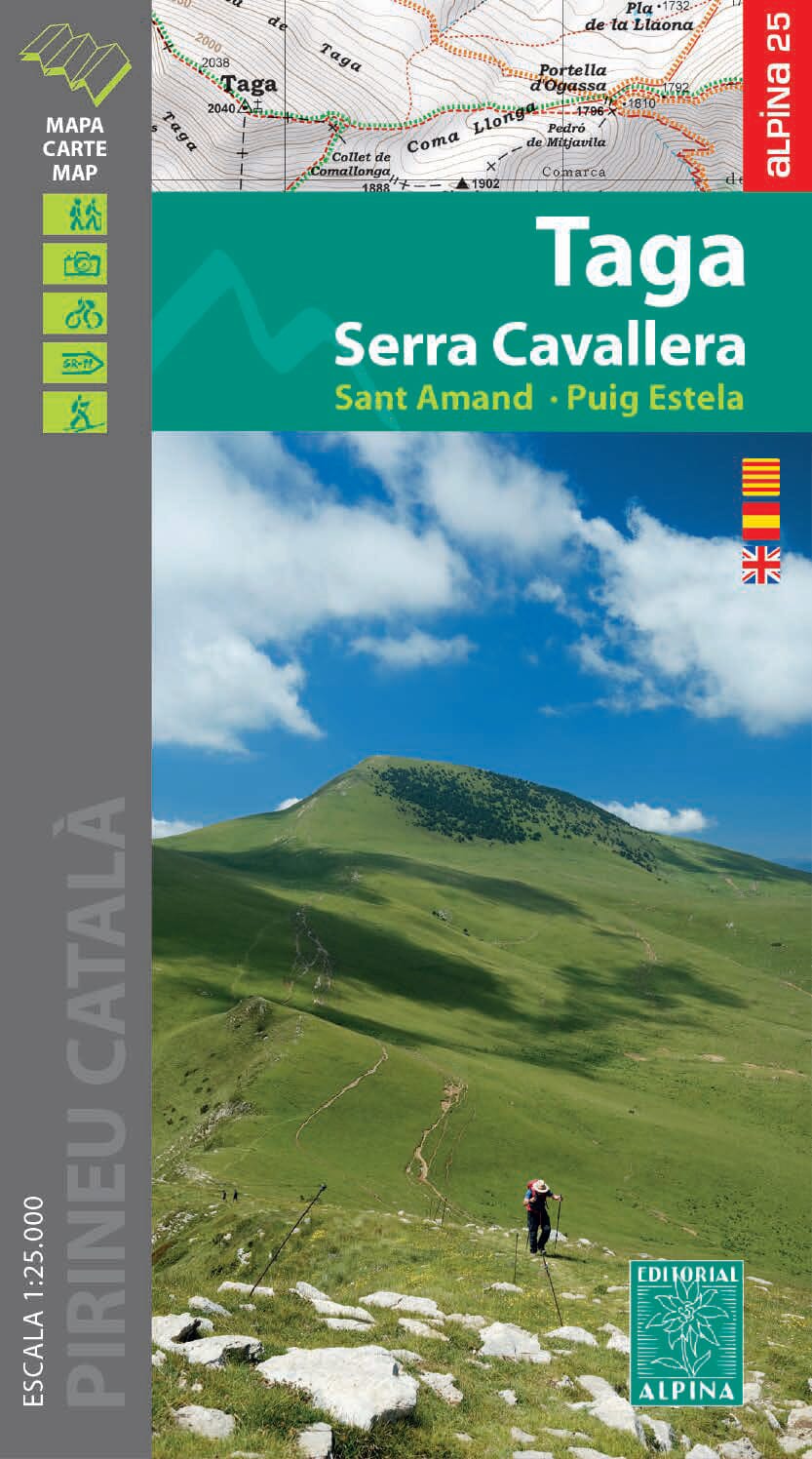
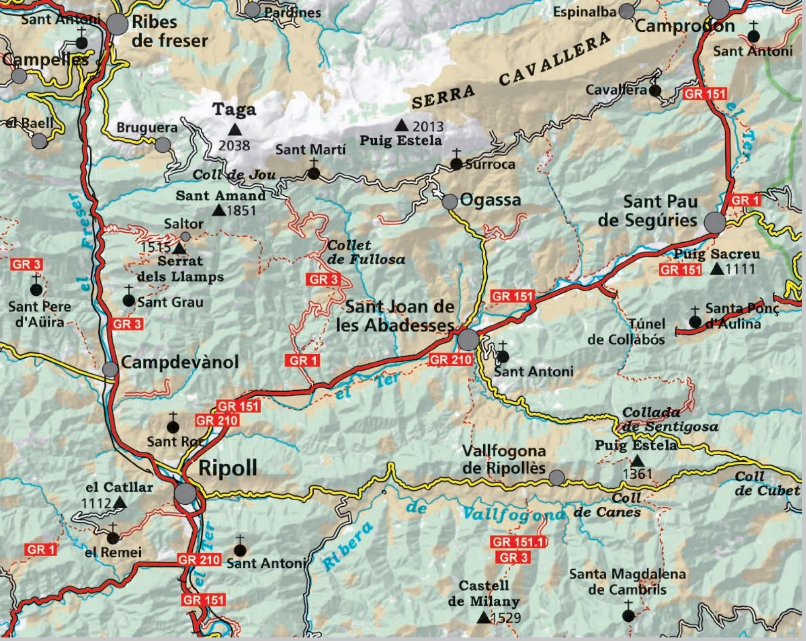
Hiking map - Taga, Serra Cavallera, Sant Amand, Puig Sestela (Catalan Pyrenees) | Alpina

Price
Regular price $1800
Regular price Sale price $1800
/
  • Ships within 24 business hours from our warehouse in France
  • Free returns (*)
  • Real-time stock levels
  • Cartovia Guarantee – Delivery issue?
    We resend immediately upon receiving a simple photo.
  • In stock, ready to ship
  • Backordered, shipping soon
Tax included.

Frequently bought together:

Map and Hiking guide published by Editorial Alpina. The Hiking guide brings together the different hikes possible with the unevenness, the estimated times and explanations, as well as information on cities and attractions, accommodation (shelters, hostels, hotels, rural tourism, campsites) and numbers of Phone.

1/25 000 scale (1 cm = 250 m).


ISBN/EAN : 9788480909853
Publication date: 2023
Scale: 1/25,000 (1cm=250m)
Printed sides: front
Folded dimensions: 21 x 12.5 x 1cm
Unfolded dimensions: 120 x 68cm
Language(s): English, Catalan, Castilian
Weight: 124 g