This folder of two Serra de Cardó maps, at 1:20,000, covers the northern and southern parts of this Catalan massif. On the boundary between Ribera d’Ebre and Baix Ebre, the Serra de Cardó offers impressive views of the Ebro Delta. Its isolated hermitages make each outing an opportunity for historical, cultural and artistic discovery.
- Northern map: a 1:10,000 enlargement of the area around Cardó Spa.
- Southern map: a detail map of the Sierra de las Velas at the southern end of the massif.
The maps are printed on waterproof, highly durable stone paper, made without PVC, cellulose or water. The publisher describes it as more durable and more environmentally friendly than traditional map paper.
Spanish publisher Editorial Piolet produces detailed maps of areas within Spain for hikers and mountain bikers. Initially focused on the Barcelona region, its coverage is gradually extending to other parts of the country.
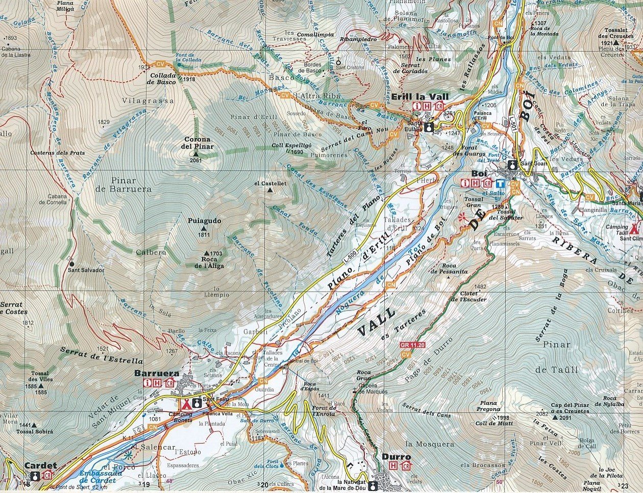
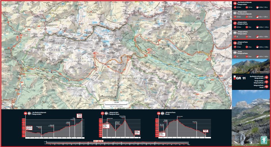
The topographic base shows contour lines, peaks and shaded mountain ridges, as well as roads, villages, hamlets and farms. Selected walking trails are marked, including GR and PR routes.
Other walking trails are shown with standard black lines rather than a bright colour. Some maps in the collection also include mountain biking routes, although this is the exception rather than the rule. Symbols identify useful features such as campsites, attractions and caves.