Laminated hiking map - Retezat Mountains (Carpathians, Romania) | TerraQuest

Price
Regular price $21.00
Regular price Sale price $21.00
/
  • Shipped within 24 to 48h from our warehouse in France
  • All-inclusive price: customs duties are already paid by Cartovia
  • Free returns (*)
  • Real-time stock levels
  • Cartovia Guarantee – Delivery issue?
    We resend immediately upon receiving a simple photo.
  • In stock, ready to ship
  • Backordered, shipping soon
Tax included.

Frequently bought together:

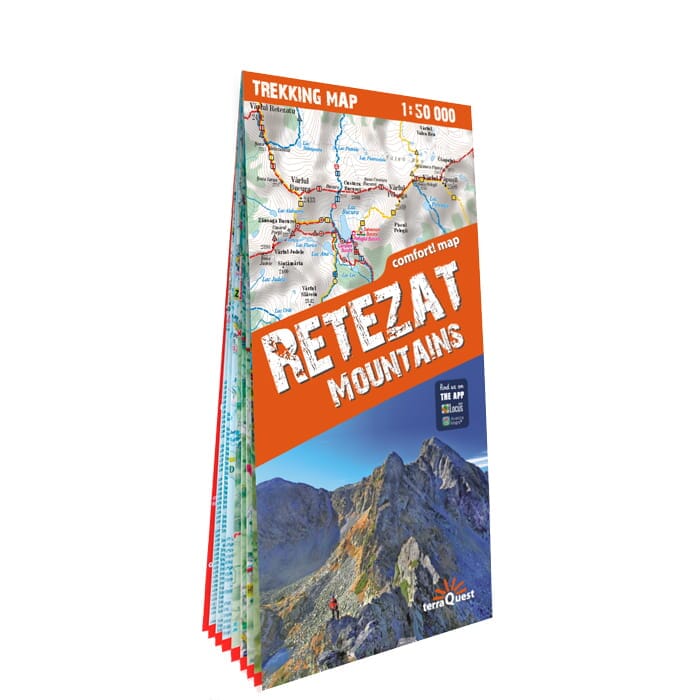
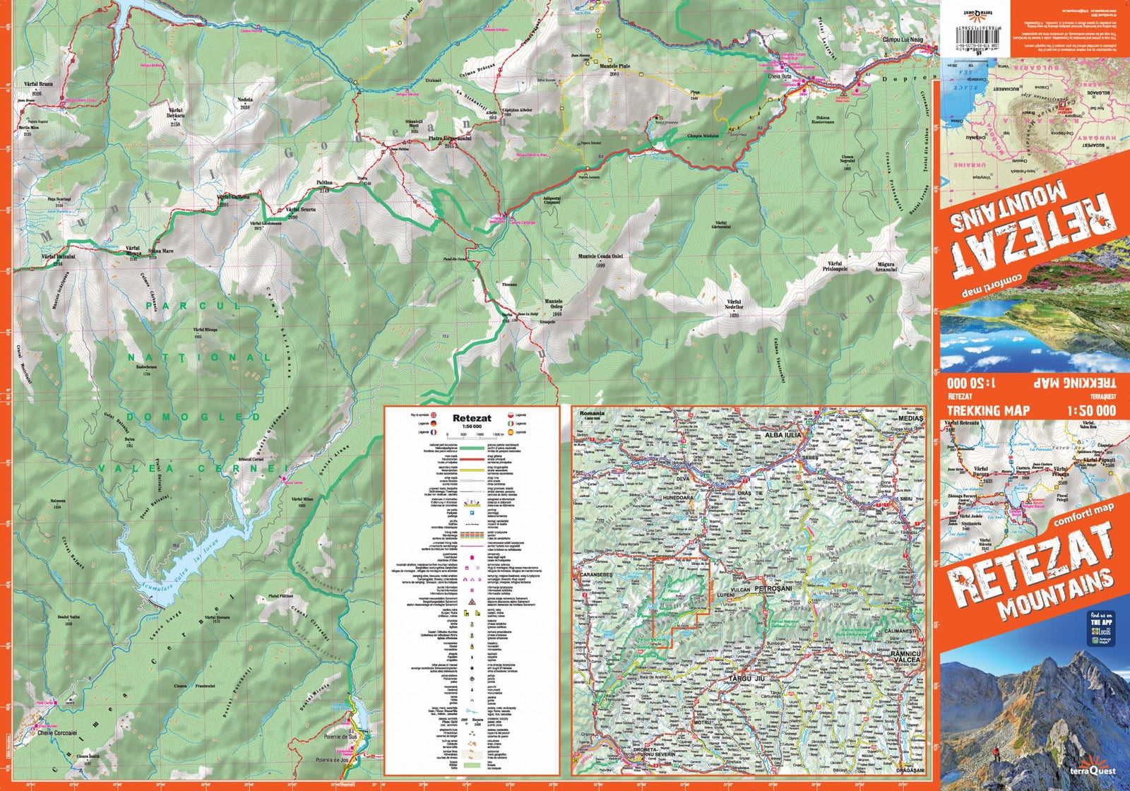
This 1:50,000 (1 cm = 500 m) hiking map of the Retezat massif covers the area of the range’s highest peaks, in the Southern Carpathians of Romania (Transylvania, Hunedoara County). Easy to use, it is designed for active travellers hiking in this massif.

A city plan of Braşov is also included on the map. Please note: the mountains around Braşov (Bucegi, Piatra Craiului, Făgăraș) and the Bran area are not covered by this map. For an overview of Transylvania, see the TerraQuest laminated tourist map of Transylvania at 1:250,000.

Produced using ExpressMap’s Comfort! Map system (P), it is laminated for durable, comfortable use, even in the toughest weather conditions on the trails.

  • Waymarked hiking routes, natural attractions, accommodation.
  • Shaded relief.
  • GPS compatibility: WGS-84 geographical coordinates.
  • Legend in six languages: English, German, French, Spanish, Italian and Polish.

The TerraQuest series is intended for enthusiasts of long-distance travel and hard-to-reach places. Its broad coverage, detailed scale and rich content help with hiking plans. The maps are laminated on both sides to withstand demanding mountain conditions.


ISBN/EAN : 9788361155867
Publication date: 2024
Scale: 1/50,000 (1cm=500m)
Printed sides: both sides
Folded dimensions: 24 x 11.2 x 0.5cm
Unfolded dimensions: 68 x 47 cm
Language(s): French, English, German, Spanish, Italian, Polish
Weight: 86 g