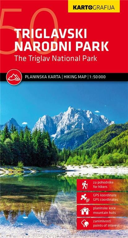
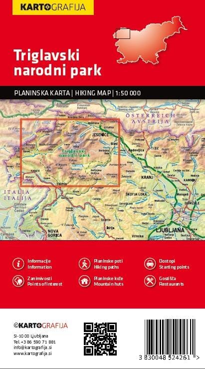
Hiking map of Triglav National Park, including Triglav, the highest peak in Slovenia and the Julian Alps. It shows waymarked trails classified by difficulty, mountain huts, points of interest, bus stops, car parks and more.
The reverse describes mountain huts, with contact details, photographs and maps. GPS points are included.
This map is printed on waterproof paper that will not tear when wet.
Coverage extends from Bovec in the west to Bled in the east, and from Kranjska Gora in the north to Tolmin in the south. The reverse has bilingual descriptions of local places of interest, including special notes on the First World War Isonzo Front, as well as a list of mountain huts and campsites with contact details.
Maps in this series have contour lines at 20 m intervals, enhanced by relief shading, with numerous spot heights and names of peaks, mountain ranges and other features. Local hiking routes are highlighted, with difficult passages indicated. Recommended cycle routes are also shown. Symbols identify different types of accommodation, including mountain huts, campsites, inns with lodging, farm stays or apartments, hotels and motels, as well as recreational facilities such as golf, horse riding and swimming pools, vineyards, cultural and historic sites, and more. Petrol stations are marked on the road network.
Railways are shown with stations, and different types of mountain transport, including gondolas and chairlifts, are marked. The maps have a latitude and longitude grid at intervals of 2