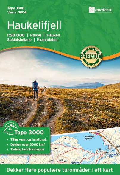
Hiking map no. 3050 - Lierne (Norway) | Nordeca - 3000 series
- Free returns (*)
- Real-time stock levels
-
Cartovia Guarantee – Delivery issue?
We resend immediately upon receiving a simple photo.
📦 Hard-to-find maps - worldwide shipping
📦 Hard-to-find maps & travel guides - worldwide shipping, 30-day returns
🌞 Summer travel: 20,000+ maps in stock
🌞 Plan your summer: 20,000+ maps and travel guides in stock Details →
✅ Latest editions guaranteed — since 2010
✅ Latest editions guaranteed - 180,000+ travellers equipped since 2010
This map covers Sørli, Lakavatnet, Holandsberget, Sandvika and Hestkjøltoppen. Topo 3000 Lierne is a detailed map covering 3 000 square kilometres, with hiking trails and accommodation clearly marked.
As well as Lierne, the map is ideal for exploring Lierne National Park and its distinctive Ice Age landscape. Together with neighbouring protected areas, it forms a large, continuous wilderness with little human intervention.
Walks shown include:
Hut shown: Holden fjellgård (self-service).
ISBN/EAN : 7046660030509
Publication date: 2020
Scale: 1/50,000 (1cm=500m)
Printed sides: both sides
Folded dimensions: 20.6 x 13.8cm
Unfolded dimensions: 100x70cm
Language(s): English, German, Dutch, Norwegian
Weight:
100 g
The exclusive newsletter for travel and discovery enthusiasts!